Recent Photos of Hayfork GFA, CA

2003 photos contributed by Tom Page

Of all the old air-defense radar sites I have visited, this one definitely ranks among the best. The drive to the top of Hayfork Bally and the view from the top made it a most memorable visit.

Since the Hayfork Bally Lookout is open to the public during the day, the road is well maintained and well marked. The driving distance is roughly nine miles from the main highway to the summit. Some of the road is paved, the rest is hard-packed gravel. Along the way, we saw two deer and one bear (a large cub), plus one timber rattler at the mountain top.

The former gap-filler radar facility itself is in excellent condition, and is in use as a commercial radio repeater site. The ranger at work in the fire-lookout tower next door had a photocopy of a photograph taken in 1960 showing the whole site, both the lookout and the gap-filler radar facility complete with radar tower and antenna. The ranger gave me the name and phone number of whom to contact, and I was subsequently able to obtain a copy of the original photo (posted under "Photographs"). Now, here are my recent photos from 20 July 2003.


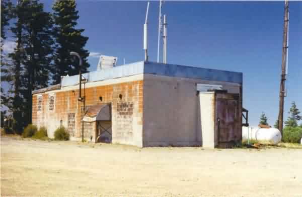
This photo shows the east side of the old GFA building as seen from the access road. The red color of the building is the cinder-block material itself, not paint. The radar-equipment section is on the left (south), and the diesel-generator wing is on the right (north). [looking northwest]


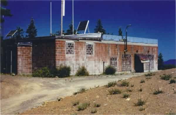
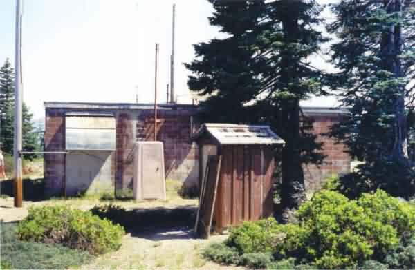
This view shows the northeast corner of the facility, with the the diesel-generator wing in the foreground. [looking southwest]


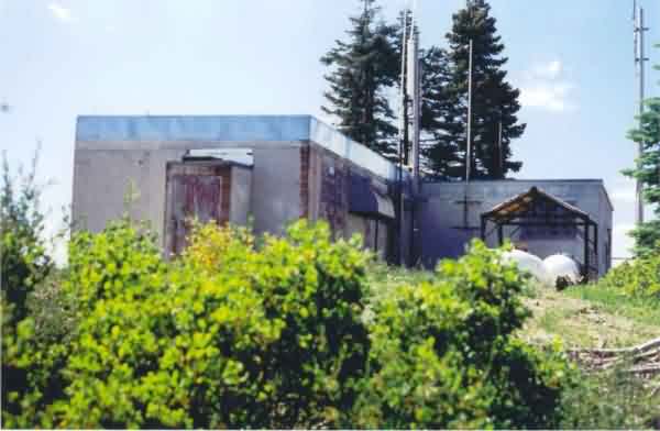
This photo shows the north and west sides of the building. The the diesel-generator wing is seen in the foreground, and the radar-equipment section in the background and to the right. [looking south]


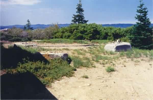
This photo shows the radar-tower foundations. All three are still extant. [looking south-southwest]


This photo shows the south side of the GFA building and what might be the original outhouse in the foreground (the dark red structure, that is). The radar tower stood to the left (west). [looking north]


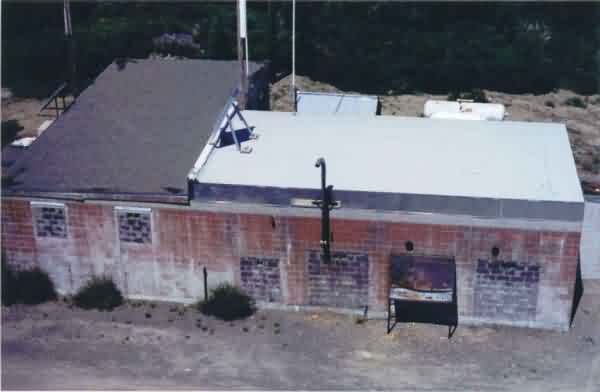
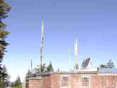
This photo shows the roof and the east side of the GFA building, as viewed from the top of the fire-lookout tower. [looking west]


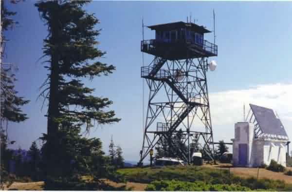
This photo shows the neighboring Hayfork Bally Lookout tower. [looking northeast]


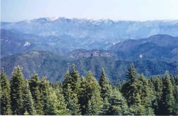
This final photo shows the fantastic view to the north.


From the web site http://www.tcoe.trinity.k12.ca.us/~tcarc/tcrptr.html