Recent Photos of Hastings AFS, NE
---------------------------------------------------------------------------------------------------------------------------------------------------------------------------
13 October 2019 photos by Tom Page

The radar site's main gate (at the southwest corner), with the former search radar tower to the right of the gate shack (looking northeast)
.

The radar site as seen from the west fence -- operations beuilding (center); one of the former height-finder radar towers (left) looking east-northeast)
.

The radar site as seen from the road to the west, looking across a corn field (looking east)
.

The radar site as seen from the park on the north side; the former search radar tower is on the left in the distance, one of the former height-finder radar towers is in the center, and the former operations building is in the distant center (looking south-southeast)
.

Same view as above, only a close-up of the two remaining radar towers (looking south-southeast)
.

One final view of the former height-finder radar tower and the operations building (looking southeast)
.
---------------------------------------------------------------------------------------------------------------------------------------------------------------------------
.
2008 photos below, source: http://www.maxrealty.info/commercial/commercial_listings.htm
RADAR SITE INDUSTRIAL PARK,
251 S. Maxon Road, Hastings, NE, NE
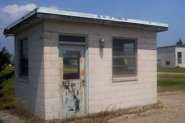
Guard shack
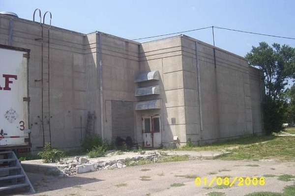
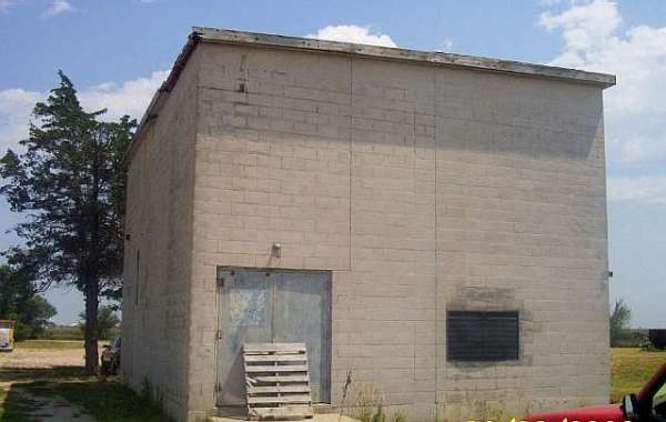
Operations
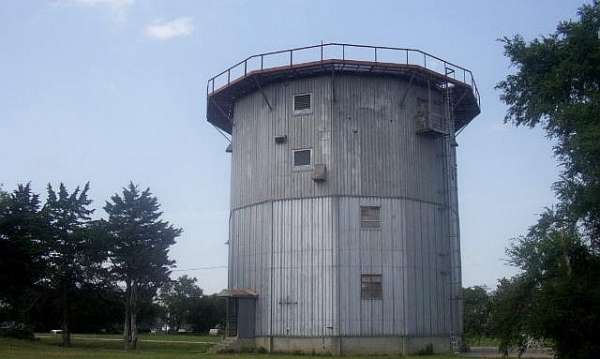
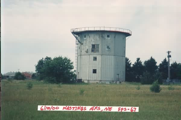
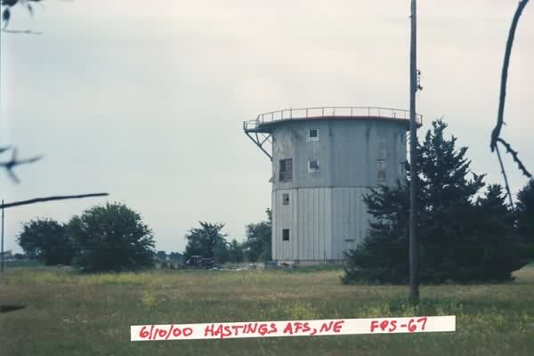
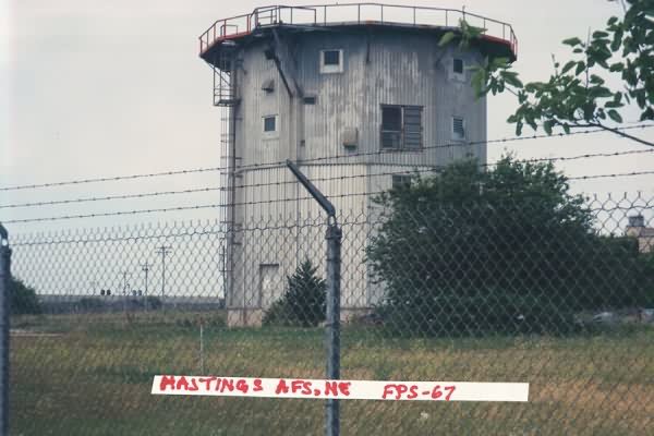
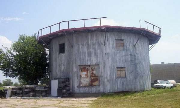
AN/FPS-67B search radar tower
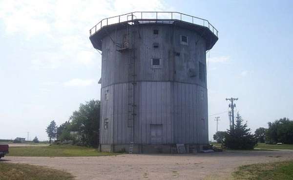
AN/FPS-67B search radar tower
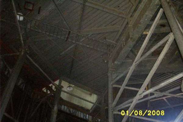
AN/FPS-67B search radar tower - interior
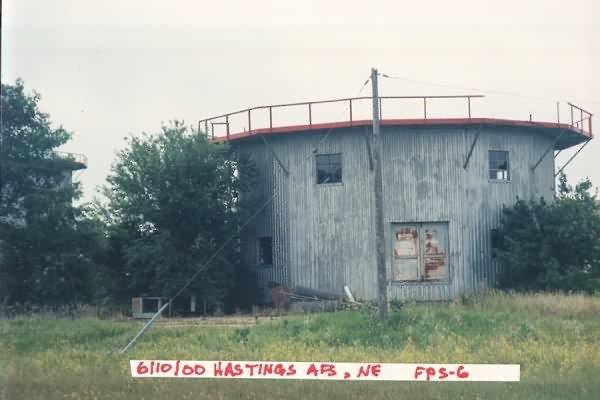
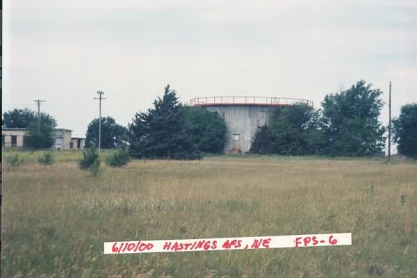
AN/FPS-6 height-finder radar tower
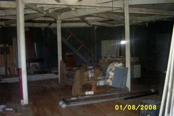
AN/FPS-6 height-finder radar tower - interior
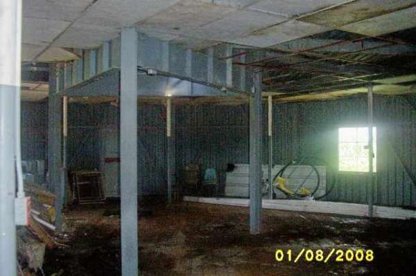
AN/FPS-6 height-finder radar tower - interior
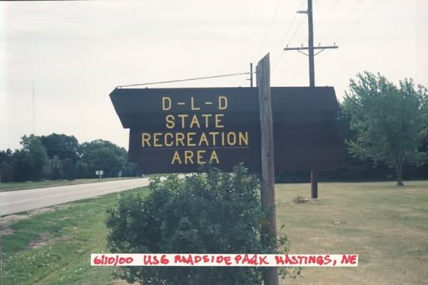
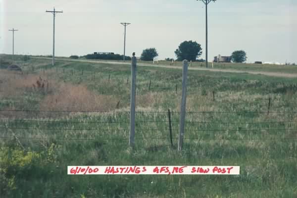
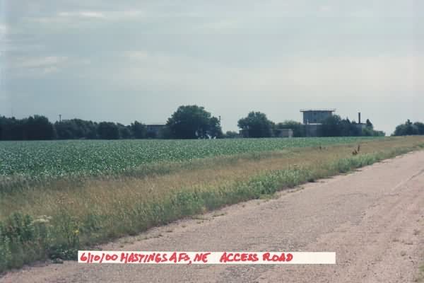
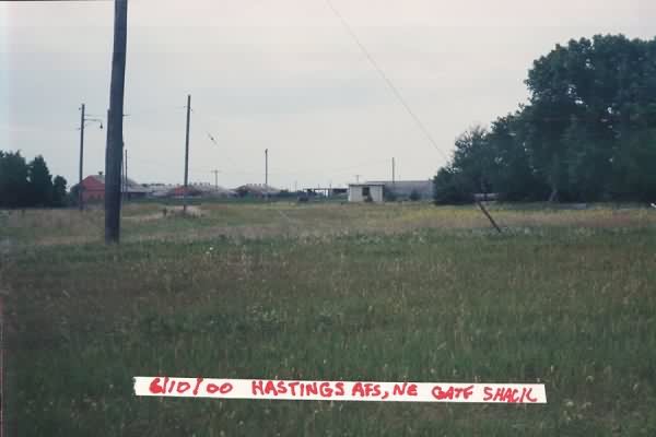
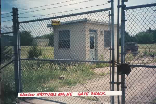
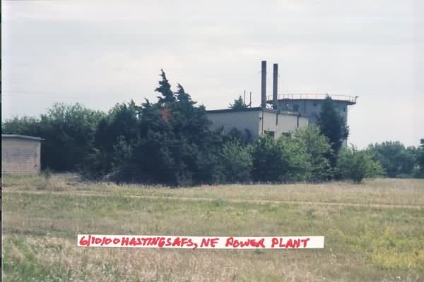
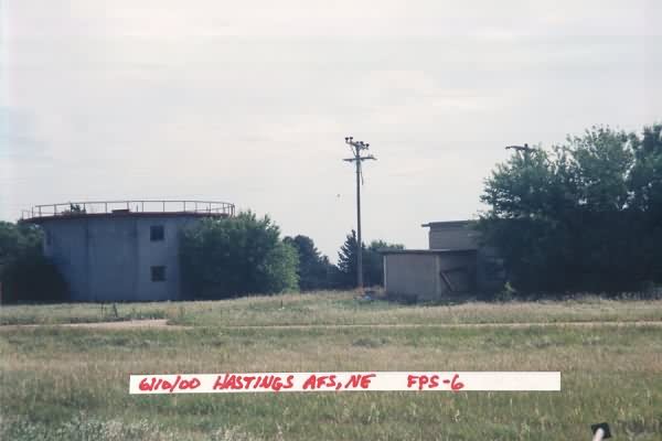
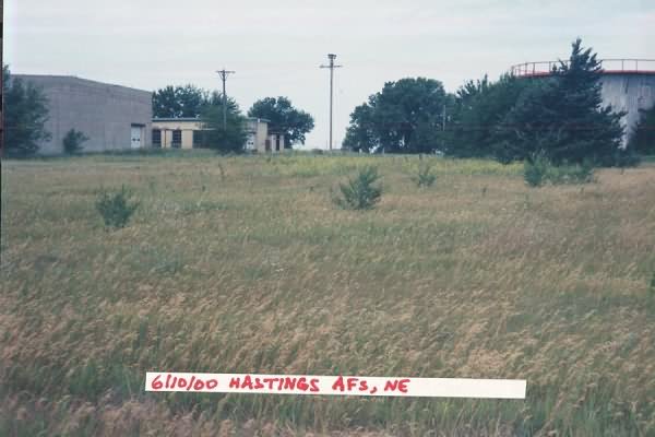
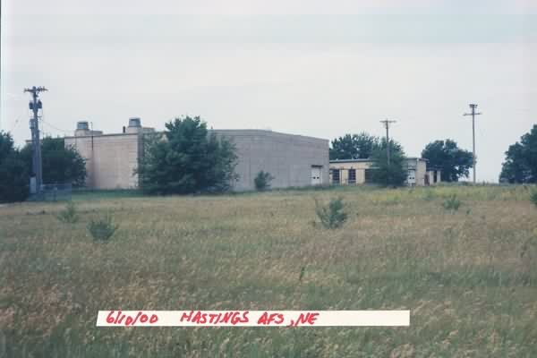
2000 photos below contributed by Jack Kerr