Recent Photos of Guthrie AFS, WV
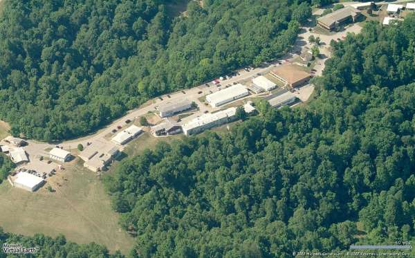
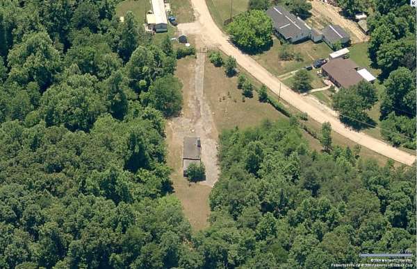
Site - Looking North
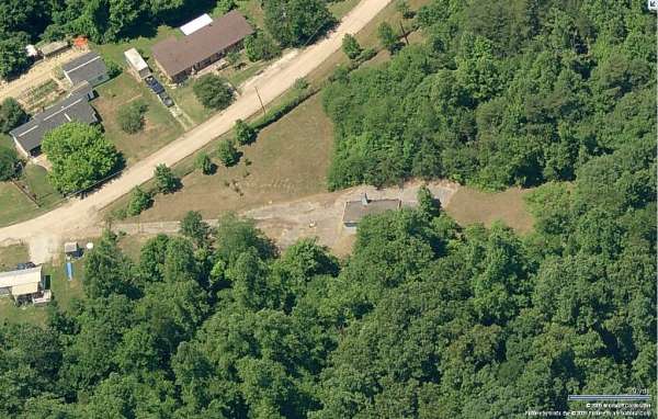
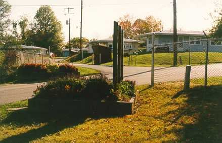
Site - Looking South
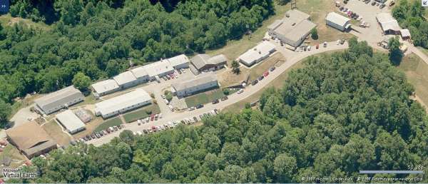
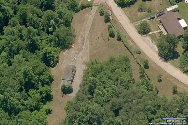
Ops - Looking North
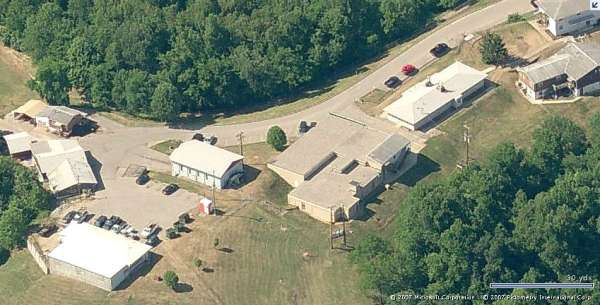
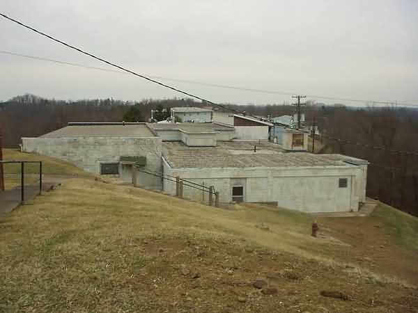
Ops - Looking South
In the south-looking close-up image of the Operations area, the locations of two radar towers can be discerned. The concrete foundations of the height-finder radar arctic tower is seen in the lower left, and the dark-tan imprint where the search radar arctic tower used to stand is faintly seen near the top, right of center. No traces are seen for the earlier height-finder temperate tower seen in our photo at http://www.radomes.org/museum/photos/GuthrieAFSWV62hftower.jpg; the newer arctic tower (without radome) is also seen in that photo at the far left next, to the barracks.
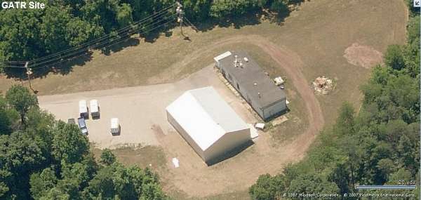
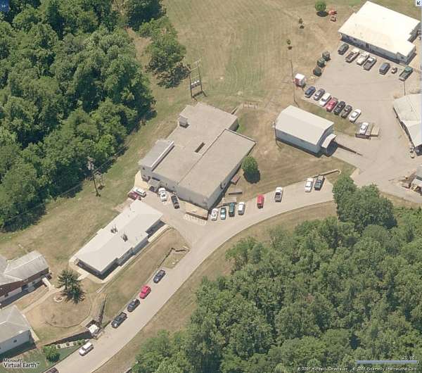
GATR - Looking South
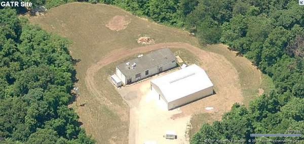
GATR - Looking West
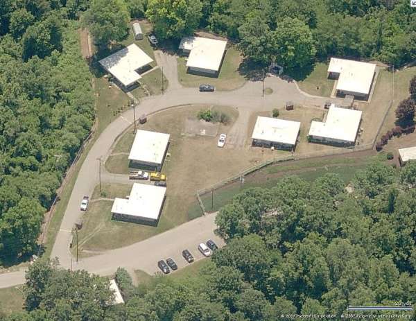
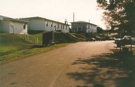
Housing - Looking South
Prior to SAGE and GATR sites, radio transmitters and radio receivers were typically in separate manual Ground/Air/Ground (GAG) Radio buildings. The Transmitter facility was often near the radar site, and the Receiver facility was usually a little further away to minimize RF interference from both the radio transmitters and the radars.
At Guthrie AFS, one of that pair apparently is no longer extant -- I think it`s seen in the photo at http://www.radomes.org/museum/photos/GuthrieAFSWVaerial2.jpg as the eastern-most building. I`m guessing that might be the Transmitter building. Although no longer standing, I place the building`s location at around Latitude 38� 26` 40.30" N, Longitude 081� 40` 42.85" W.
The other one of that pair is still extant. I`m guessing that might be the Receiver building. Its location, as seen in "Google Earth," is at Latitude 38� 26` 50.50" N, Longitude 081� 40` 29.75" W (east of the main site). Several "Bird`s Eye" views are enclosed (a north-looking view is unavailable).
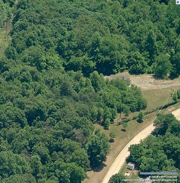
GAG Receiver - Looking East
GAG Receiver - Looking South
GAG Receiver - Looking South
GAG Receiver - Looking West
February 5, 2004 photos and notes by: Walt Mitchell
Walt says: " finally made it to Guthrie site today. Attached, I hope, are a few photos taken today. I did ask permission from the Buildings and Grounds Superintendent before walking on their property and taking photos.
I had a very interesting conversation with an "old timer" who had been at the site since `74. We talked about the building renovations and new buildings that are currently on the site. He did state that the WV Department of Mental health took possession of the site first, but was followed a few years later by the WV Department of Agriculture. Those folks that I talked to are all proud of their site and the work they do up there."
I read Tom Page`s trip report from `98. (See below) I agree with Tom`s assessment that the site is well reutilized except for the off site housing area. This is probably the exception and not the rule.
I will continue to pursue some historical information from local sources and forward to you.
Best Regards, Walt Mitchell Ed: Some comments by Walt appear below each photo.
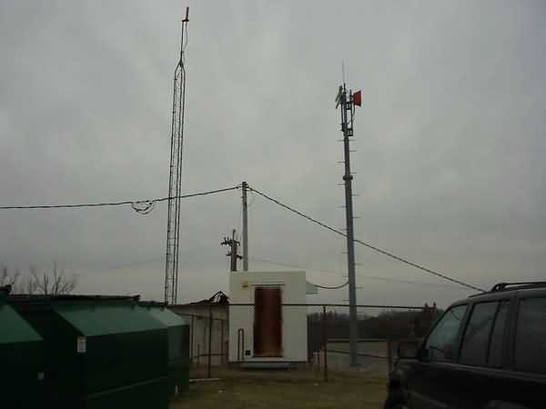
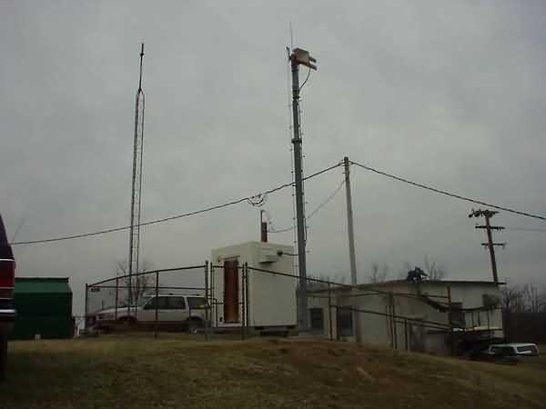
Pictures 1 & 2: The FAA RBPM (Remote Beacon Performance Monitor). Ensures proper operation of a Secondary (IFF) RADAR site located at Higby WV. The triangular tower is basically a parrot (Transponder) that squawks back a set Mode IIIC code with an altitude in the moon. Allows Indianapolis Center to assure their RADAR systems are accurate. These photos were taken at the site of the search tower. Fondly called "the round house" by the locals!!
Picture 3: The old Operations building.
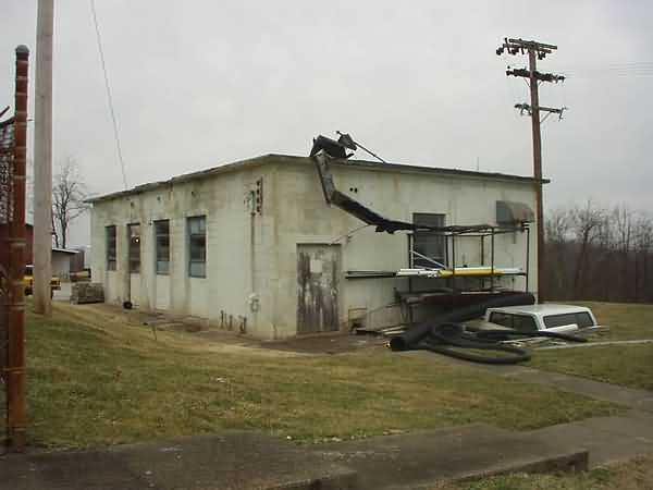
Pictures 4 & 5: Engine generator building.
Picture 6: GATR site. Currently used for storage.
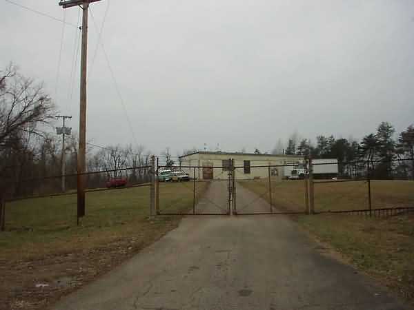
Pictures 7 & 8: Views of the front gate to the main area.
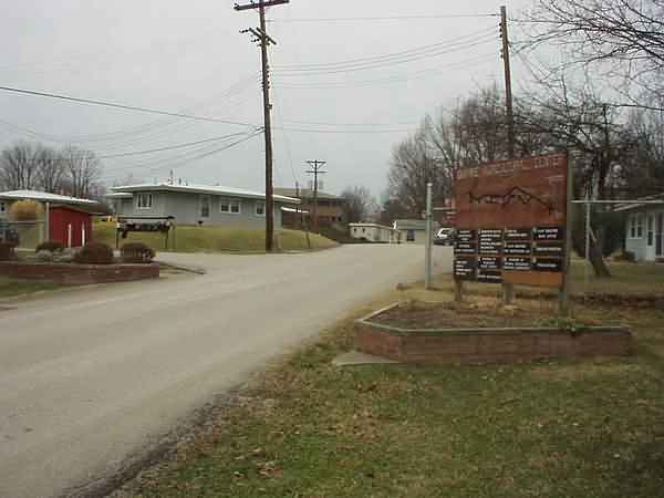
Picture 9. Sign at the top of the hill. The Guthrie Housing sign is to the Off Site Housing. This area was taken over by a non profit organization (Multi-Cap) to be refurbished and provide housing to low income folks. Multi-Cap has gone bankrupt. The housing is in various stages of renovations, but now abandoned completely. What a waste.
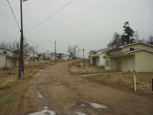
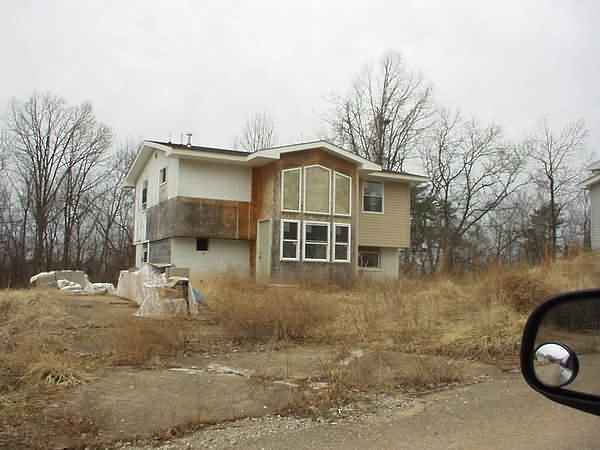
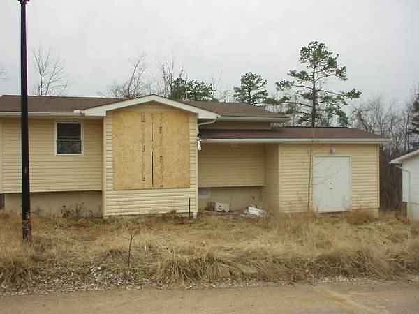
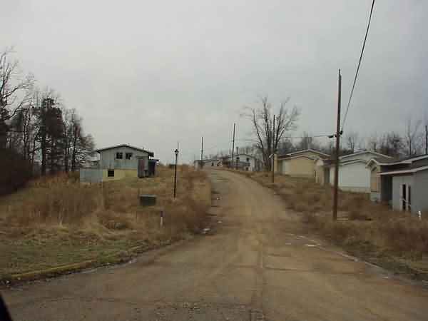
Pictures 10 through 13: Views of the housing area.
Picture 14. Waste water treatment plant. Originally installed by the Air Force and still run by the State. In talking to the maintenance people, the plant is showing its age.
October 1998 photos and notes by: Tom Page, Radomes Staff
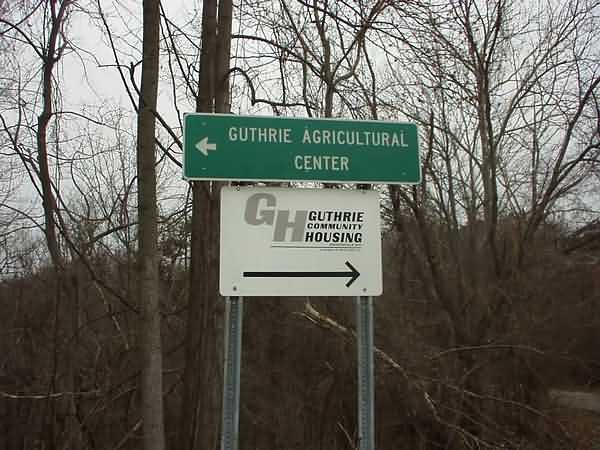
Yesterday, I took off a day from work, and my wife and I drove over to Charleston, WV. The autumn leaves were about 70% peak in some places, so it was a very nice drive. I was guessing that the drive would take about 4 hours each way; however, it took 5-1/2 hours each way! One of my destinations on this drive was to visit the site of the former Guthrie AFS WV (Z-43), about 6 or 7 miles or so north-northwest of Charleston, off Sissonville Drive, in the town of Guthrie. Once I located the right highway, we found the former radar site with no trouble. This former Air Force station is now known as the "Guthrie Agricultural Center."
I was very pleased to find that most of the installation was still in use by various state organizations, mainly the WV Department of Agriculture, Forestry Service, and Health Department. Although the radar towers had been removed a few years back, I could see where the search-radar tower (AN/FPS-67) and one heightfinder-radar tower (AN/FPS-6) had been. I located the `possible` location of where second AN/FPS-6 heightfinder-radar tower (removed in 1966) might have been. Most of the buildings were well-maintained, and many now have vinyl siding on them. The houses of the original housing area are occupied as family residences; however, a second housing area on the adjacent hilltop is a `ghost town.` The whole site was very clean and well kept.
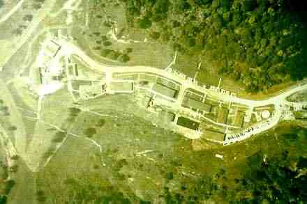
On the wall inside one building, there was an old site aerial photo -- which I photographed. The view is straight down, so it`s difficult to pick out the radar towers (also, the photo pre-dates the AN/FPS-67 tower with the radome). Also, I obtained a copy of their site map (showing usage today, but I can add some notes to show where the radar towers and GATR site were). Further, I got a name, address, and phone number of the guy who drew the map who, I was told, worked at Guthrie AFS as a civilian when it functioned as an Air Force radar site. With a little luck, maybe he`ll have (and be willing to share) some old photos of the installation, showing the radar towers. I`ll write to him and see.
| Copy of an old aerial photo that hangs inside one of the WV Dept. of Agriculture buildings; photo pre-dates AN/FPS-67 tower w/ radome. Old search radar (AN/FPS-3? AN/FPS-8?) appears to be on a temperate tower in the center of the light-colored area between the buildings on the far left, as suggested by the square shadow. One AN/FPS-6 heightfinder radar tower is near the center of the photo (see map), also suggested by the square shadow. |
 |
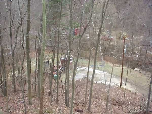
| Looking east from the hilltop where the search radar once was; near center of photo, where small cluster of small trees, is the location of one old AN/FPS-6 heightfinder radar tower. |
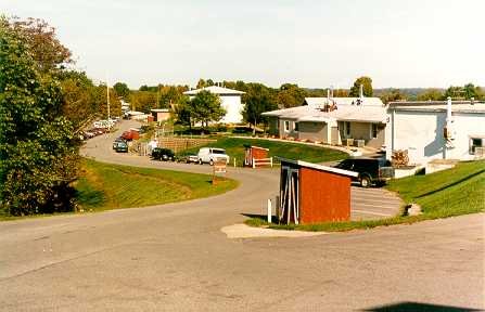 |
| Looking west toward the hilltop where the search radar used to be; AN/FPS-6 heightfinder radar tower was at the bottom of photo. |
 |
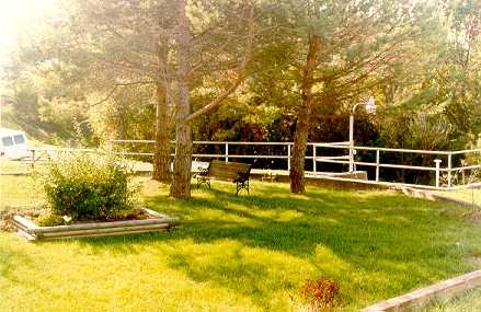
| Picnic area where AN/FPS-6 heightfinder radar tower used to stand (note two concrete foundations with steel bolts, to right). |
 |
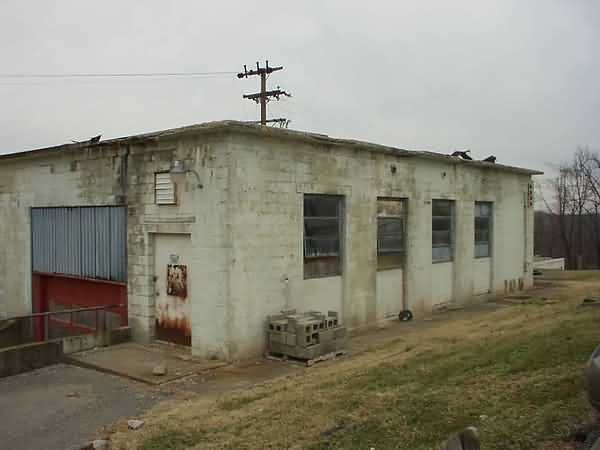
| Appears to be former administrative buildings. |
 |
| Original housing area, near main entrance to the site. |
 |
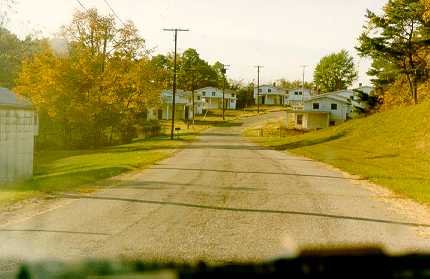
| Second housing area, on adjacent hilltop (see map again); now a "ghost town." |
 |
