Photo source: http://www.cc.state.az.us/utility/electric/EPS-USPAPS.pdf
Photo source: http://www.cc.state.az.us/utility/electric/EPS-USPAPS.pdf
January, 2002 photos contributed by Tom Page
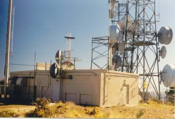
The view from the top of the access road, looking slightly west of due south.
The diesel-generator wing is seen extending off to the right (west).
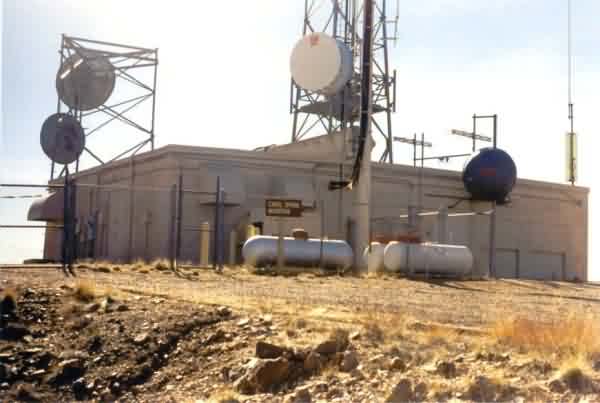
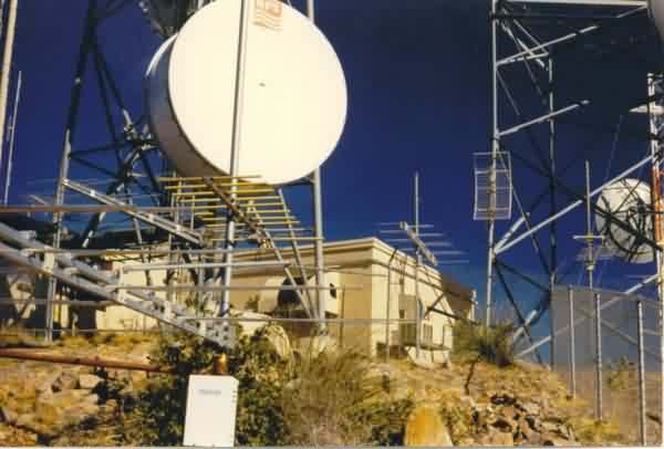
The diesel-generator end of the building, looking southeast.
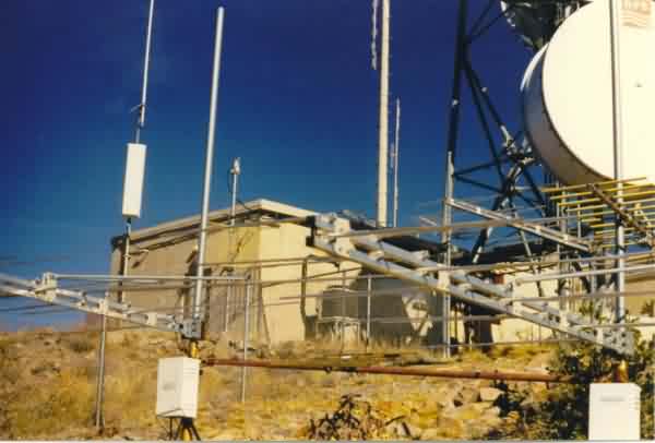
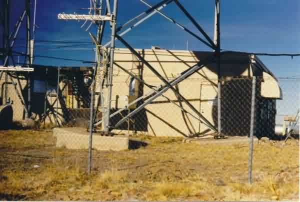
Two views of the southwest corner. The diesel-generator wing is to the left, and
the radar-equipment section is to the right.
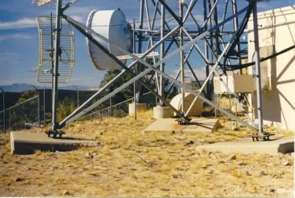
The radar-tower end of the building and original tower foundations / footings. Looking north.
The close-up view of the radar-tower foundations / footings. Looking west.
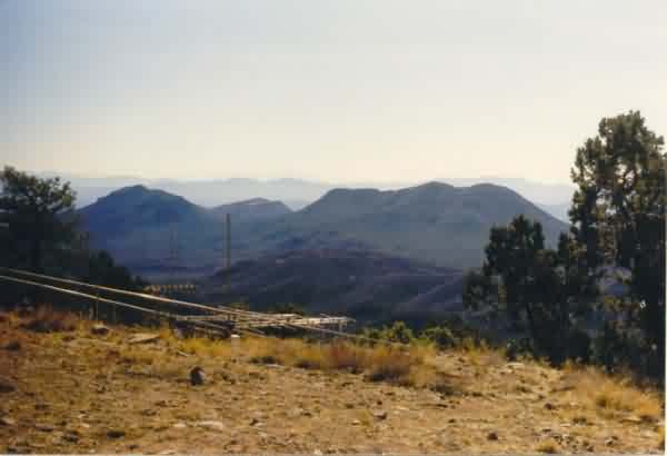
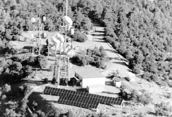
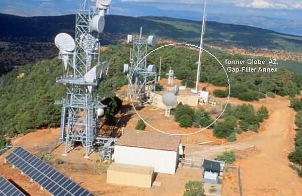
The view from the Globe GFA at the top of Carol Spring Mountain, looking just west of due
south, more or less in the direction of the town of Globe 23.7 road miles away.
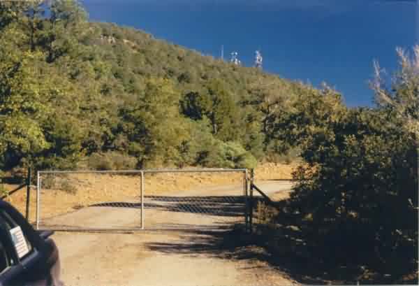
The access road near the turn-off from US Rte 60. The gap-filler radar building is
at the base of the left-most microwave tower. Fortunately, the gate was not locked, and
it was possible to drive the 1.5-mile distance to the mountain top. Looking east.
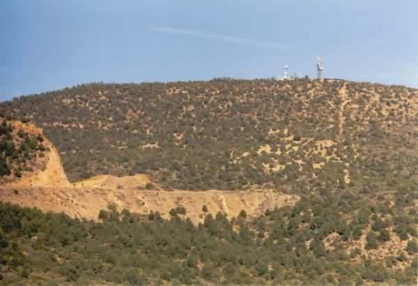
A view of the Globe GFA as seen from US Rte 60 south of the site. The radar facility is
by the microwave tower to the left.
From the URL http://www.nrel.gov/ncpv/pdfs/pv15-28.pdf