Georgetown, SC GFA Recent Photos

When I visited this site in 2001, the radar tower was still standing. Here is a view of the three tower foundations / footings.
.................................................................................................................................................................................................................
Found at http://wikimapia.org/9738838/Georgetown-Gap-filler-Radar-Site-SC-USA
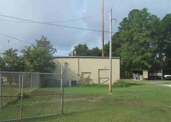
The photo is looking SW; the diesel generator wing is seen in the foreground.
The view is similar to they 2001 photo below. The WikiMapia photo was taken sometime after the radar tower was removed.
May 2001 photos and notes contributed by Tom Page
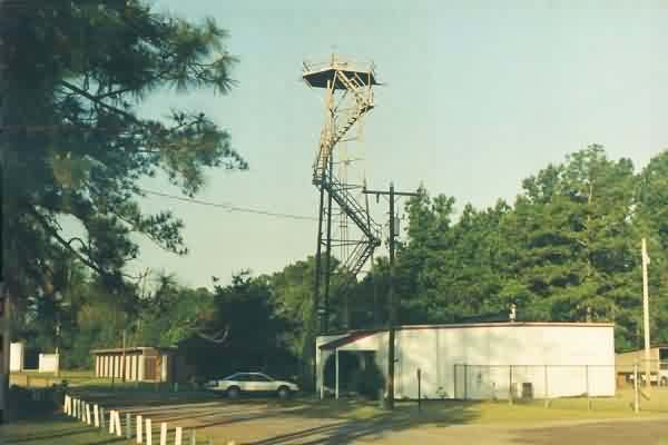
The "front" of the former radar-equipment building, with the diesel-generator wing seen at the right rear. The site is situated at the Georgetown County Airport, on the west side of the runways near the airport entrance off US 17. The GFA is now used by the county mosquito-control department. The radar tower now supports meteorological equipment, e.g., an anemometer. [looking west]
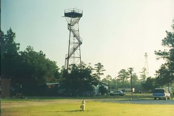
Another view of the Georgetown GFA facility. The airport beacon is seen in the background. [looking northeast]
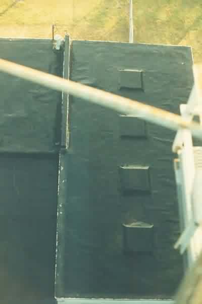
The "rear" of the former radar-equipment building, with the diesel-generator wing seen at the right. Note that the building has an addition on the other side of the diesel wing. [looking southwest]
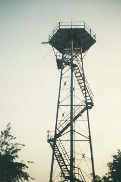
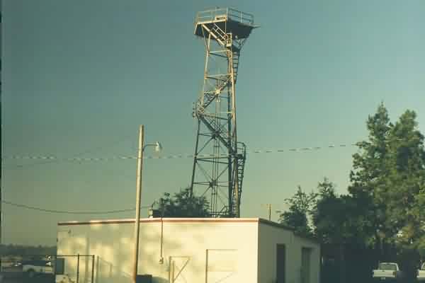
A view of the radar tower from the west side.
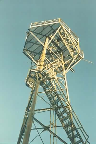
A view of the radar tower from the northeast side, underneath.
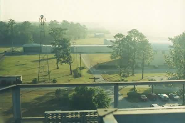
A view from the top of radar tower looking northeast towards the airport beacon tower. The road at the base of the beacon tower leads to US 17 to the left.
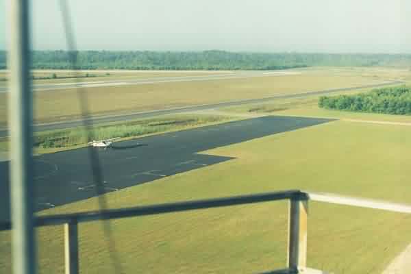
Another view from the top of radar tower, this time looking south-southwest]
The top of the former GFA building as seen from the top of the radar tower. 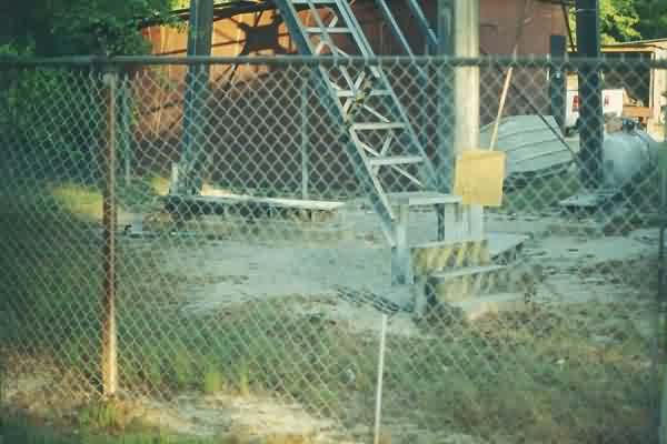
The radar-tower base showing its footings / foundations.
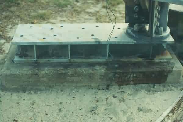
A close-up of one radar-tower footing / foundation.