Recent Photos of Garland, KS GFA
---------------------------------------------------------------------------------------------------------------------------------------------------------------------------
The following four photos are displayed here for historical / non-commercial purposes only:


---------------------------------------------------------------------------------------------------------------------------------------------------------------------------
May, 2003 photos by Tom Page
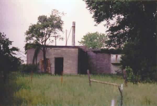
This old gap-filler radar site is located northwest of Garland and southeast of Fort Scott, KS. The exact location was uncertain before this visit, although it was suspected based on the aerial imagery.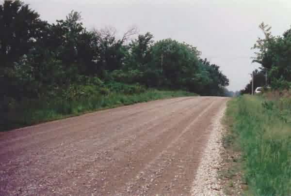
This photo shows Grand Street, the east-west road that runs past the former gap-filler annex on its north side. The radar building itself is located just behind the large tree in the center of the photo, on the crest of the hill, across the road from where my van was parked. [looking west]
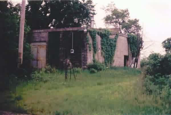
This is the first view that one gets of the radar building from the road. The radar-equipment section of the building extends to the left (east), and the diesel-generator section extends to the right (south). [looking south-southeast]
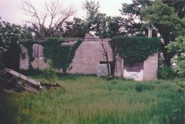
This photo shows the facility`s west side. The radar-equipment section of the building is on the left, and the diesel-generator section is on the right. [looking east]
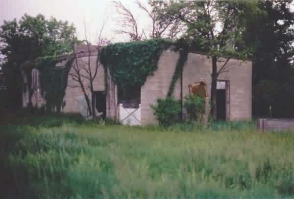
This photo shows the facility`s southwest corner. The diesel-generator section is in the foreground on the right, and the radar-equipment section of the building is on the left in the background. [looking northeast]
This view shows the diesel-generator section in the foreground. [looking north]
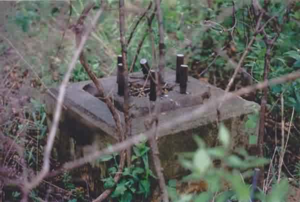
This final photo shows one of the three radar-tower foundations / footings. All three are still extant.