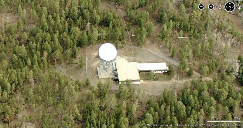
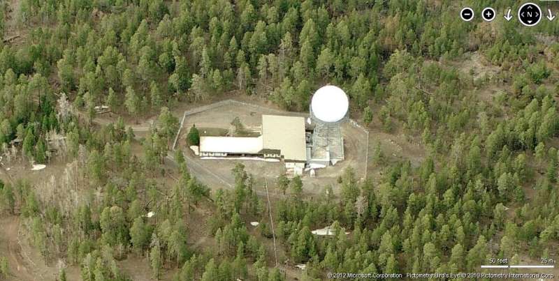
Gallup, NM Former FAA/USAF Joint-Use Site (Z-221)
Looking North
Looking South
Summer, 2001 photos & notes contributed by Tom Page
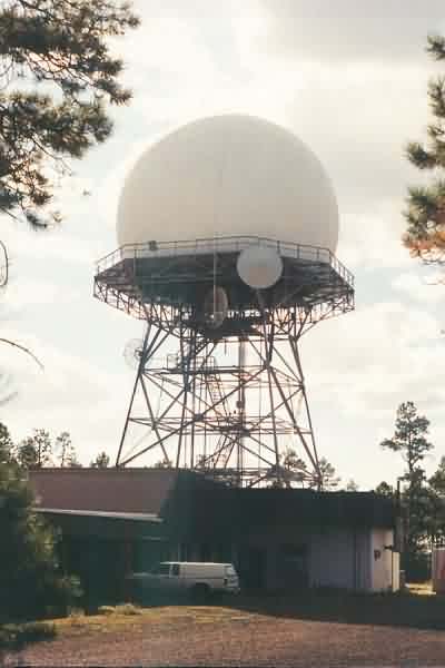
A view of the ARSR-2 radar tower and the FAA building from the north side. Because this facility is on Navajo tribal land, and the owners require access to the water supply at the top of the mountain, the Navajos will not permit the FAA to put a fence or a gate around the radar facility. Consequently, anyone can simply drive right up to the site. [looking west-southwest]
Update: The fence / gate situation obviously changed after 9/11 2001. As seen in the newer aerial photos, a fence now surrounds the entire installation.
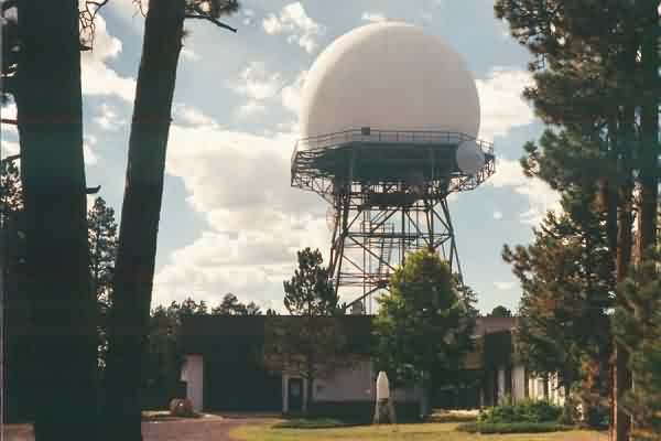
A view of the ARSR-2 radar tower and the FAA building from the south side. [looking west-northwest]
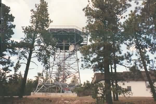
Another view of the ARSR-2 radar tower and the FAA building from the south side, using a 28-mm wide-angle lens. [looking north]
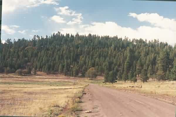
A view of the ARSR-2 radar dome (just left of center, and hard to see due to the white clouds) and the mountain top. [looking north]