Recent Photos of Gabbs GFA, NV
Source: source: http://www.corpsfuds.com/php/siteindex.php?site=J09NV0210&state=Nevada
October, 2002 photos & notes by Tom Page
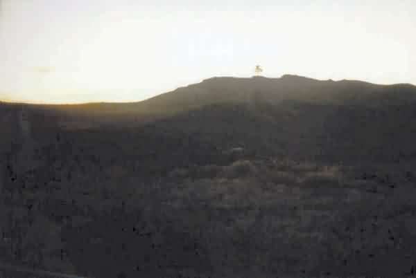
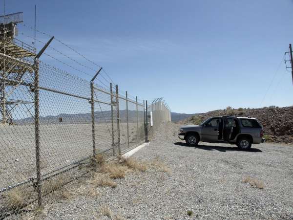
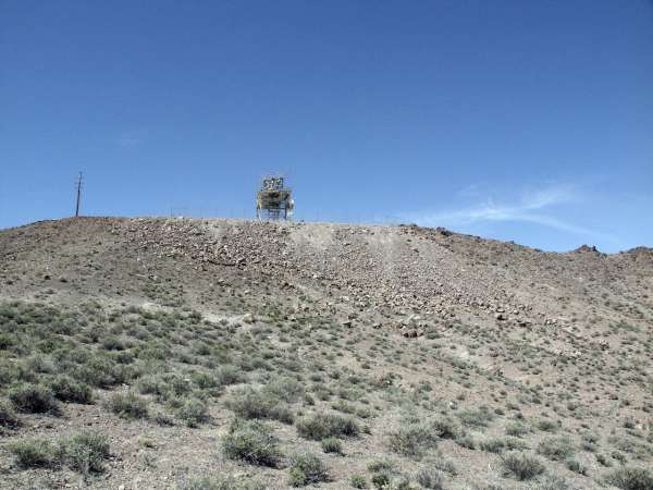
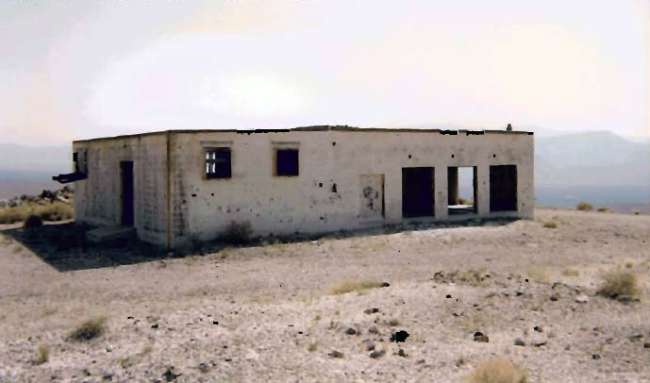
This photo shows the present-day radar site which is located on a hill top about a quarter mile west of State Road 361 from which the site is accessed. It is south of Gabbs, just inside Nye County. Seen is a modern range radar on top of the hill. [looking west-southwest from SR 361, late afternoon]
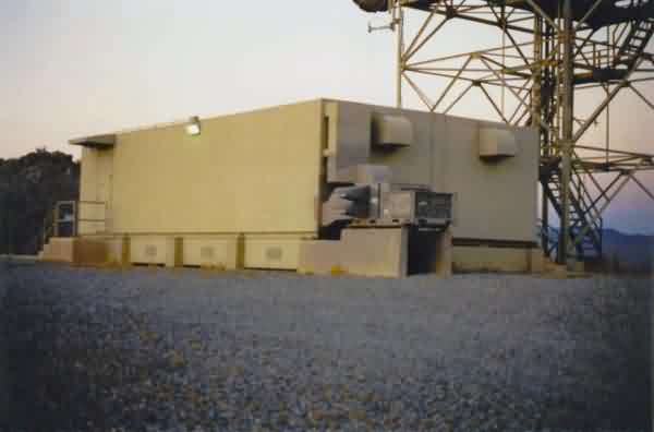
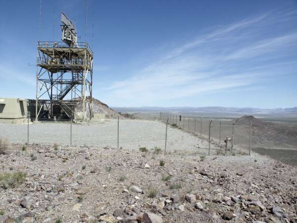
This photo shows the modern range radar building which clearly is not the former gap-filler radar building. No signs of the latter were observed. [looking north-northeast]
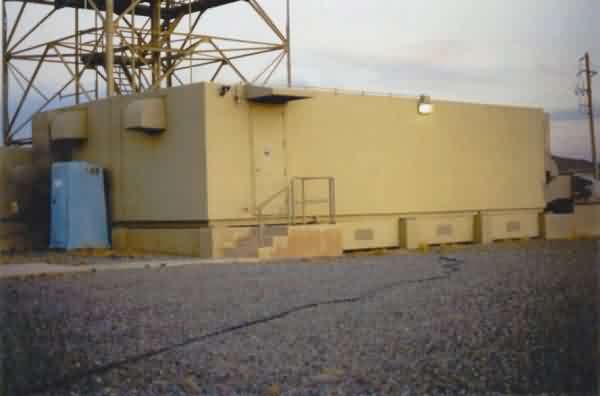
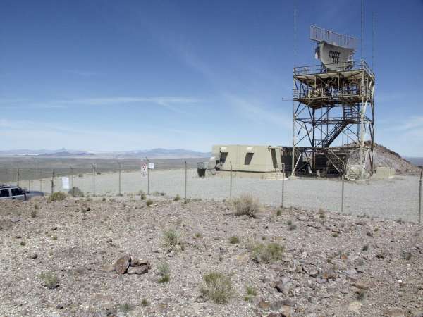
This photo also shows the modern range radar building. [looking east-southeast]
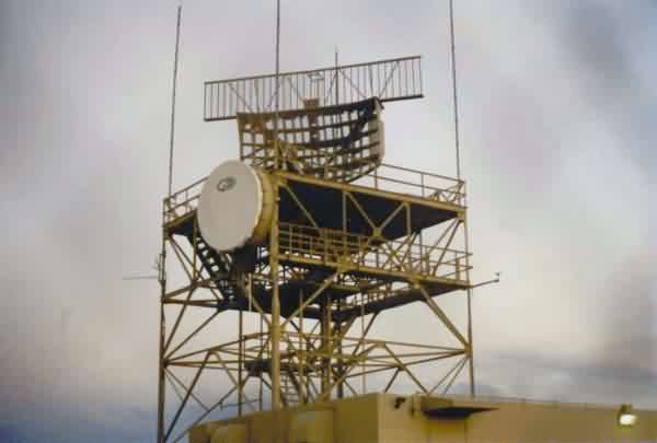
This photo also shows the modern range radar. I am not sure of the radar type, but it more or less resembles a military version of the ASR-9. [looking east-southeast]