Recent Photos of Ft Indiantown Gap, PA
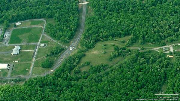
2009 photo - Looking North
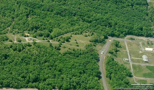
2009 photo - Looking South
According to Mark Morgan`s data and recent photos, L-9 radar hill is seen near the center of the two Bing "Bird`s Eye" images, above.
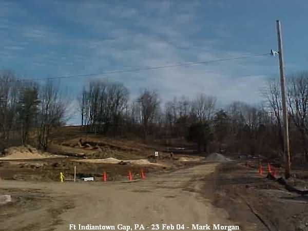
Photos contributed by TSgt Mark Morgan, Radomes Staff
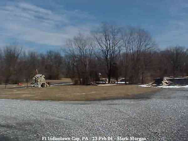
"Radar Hill," seen from the cantonment area.
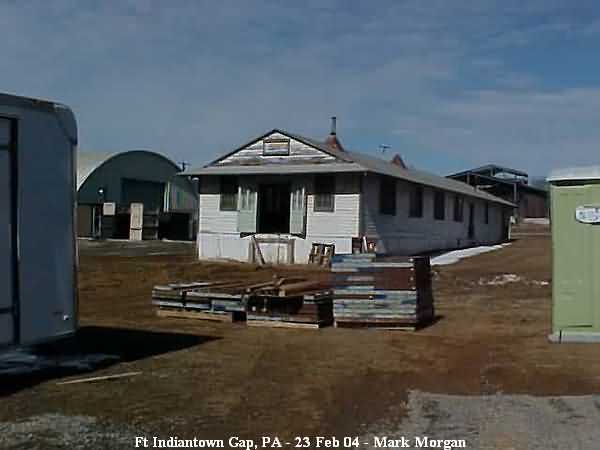
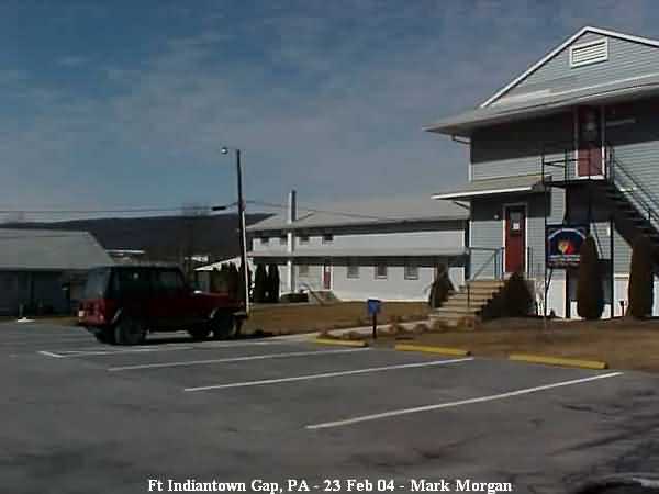
One of the lesser buildings in the cantonment area.
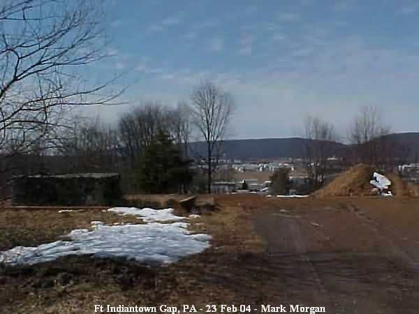
The day of the visit a construction company was preparing property at the base of Radar Hill for new facilities.
Summit of Radar Hill, looking east towards I-81. The area is used for Military Police training.
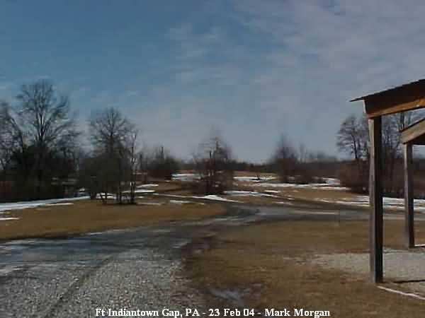
Summit of Radar Hill, looking west towards the main post.
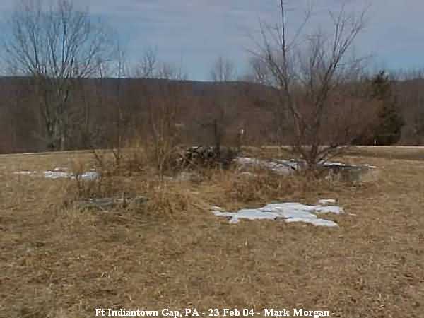
Radar foundations. Unfortunately, Historical Data of the Aerospace Defense Command does not list the type radar operated at L-9.
[Note: One veteran believes the radar model might have been an AN/CPS-1.]
Additional foundations at the summit of Radar Hill, looking west towards the main post.
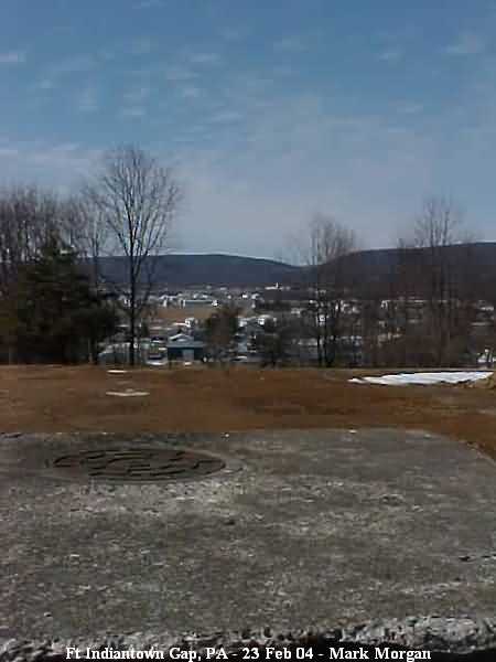
The same foundation/utility trunk giving a better view of Fort Indiantown Gap.
Headquarters, 193rd Area Support Group.
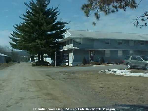
The cantonment area, currently occupied by the 193rd Area Support Group and several PAANG squadrons. The buildings are temporary structures dating to World War II, suitably refurbished.