Recent Photos of Fortuna AFS, ND
.............................................................................................................................................................................................................
The following photos were made by Tom Page on 17 September 2022:

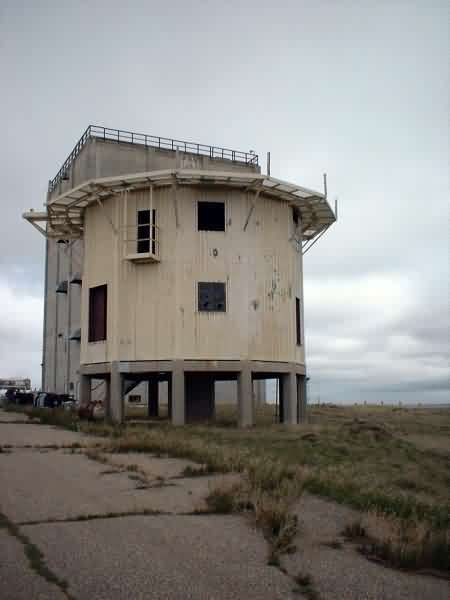
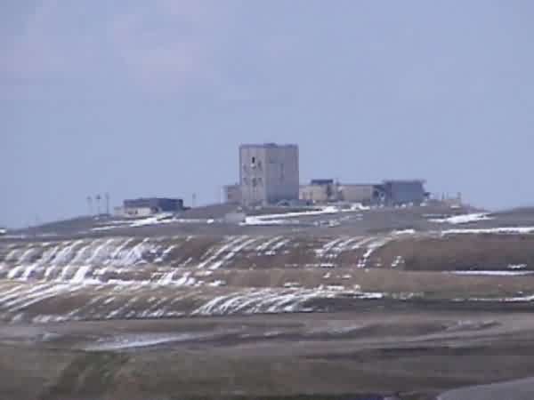
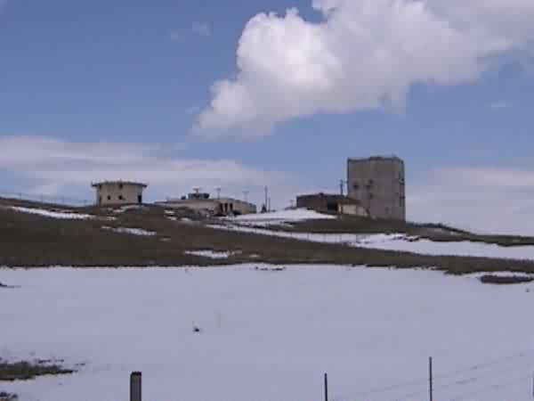
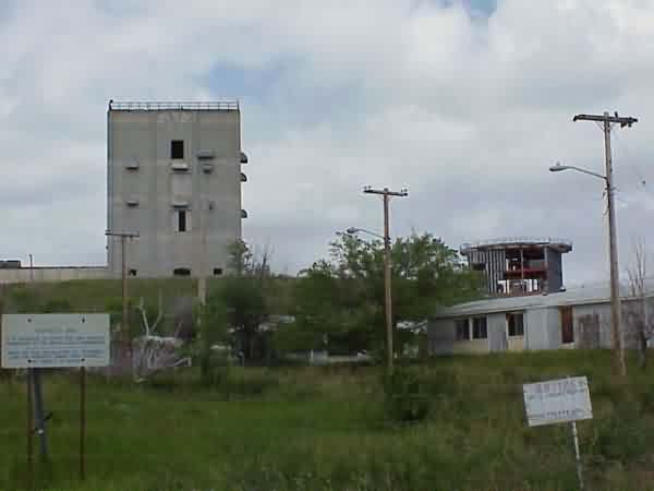
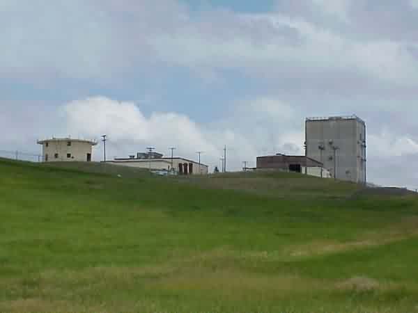
The former AN/FPS-35 FD search radar tower -- the only remaining structure at the main site -- as seen from the interpretive-sign pullout area off the main road, next to one of the family housing areas (no longer extant) (looking northwest)
.

One of the two interpretive signs at the pullout area off the main road (looking northwest)
.

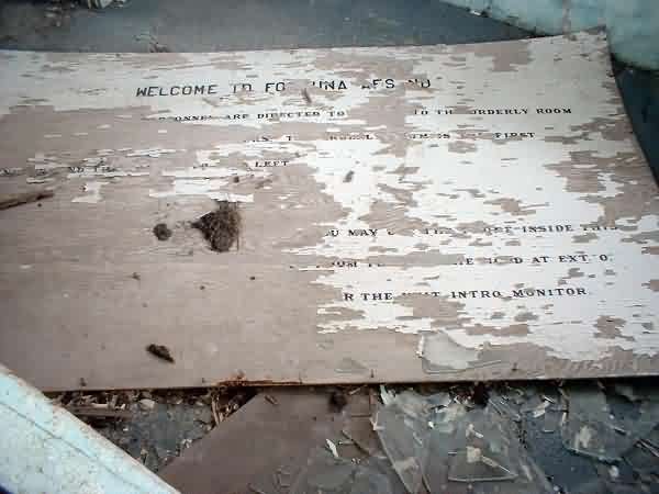
The other one of the two interpretive signs (wth site map) at the pullout area off the main road (looking northwest)
.

.

.

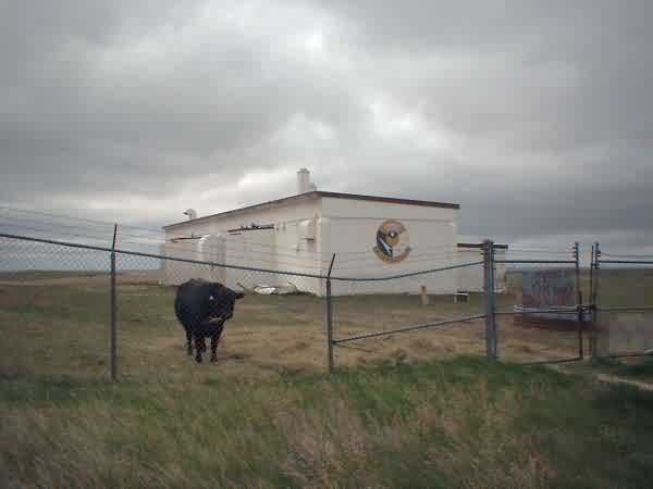
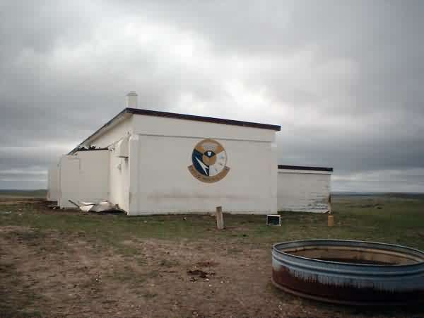
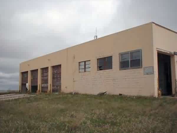
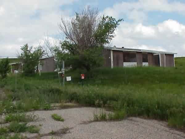
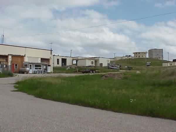
The squadron area / cantonment area (looking west)
.

.

The off-site SAGE-era Ground-Air / Transmitter-Receiver (GATR) radio site, located a few miles south west of the main site (looking southwest)
.

Another view of the off-site GATR site (looking west-southwest)
.
.............................................................................................................................................................................................................

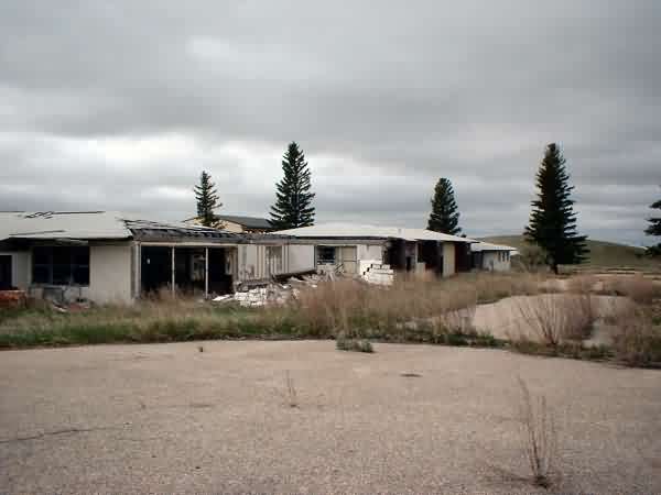
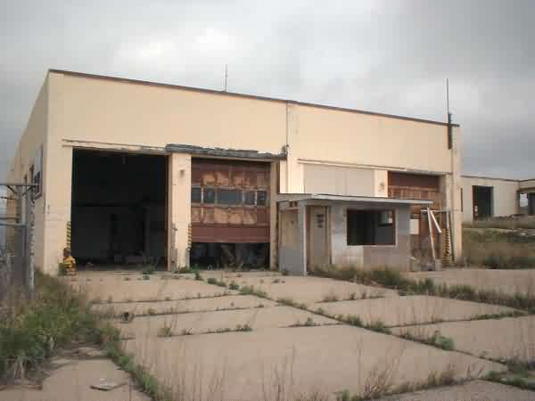
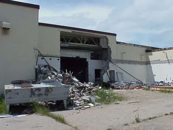
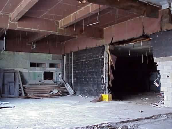
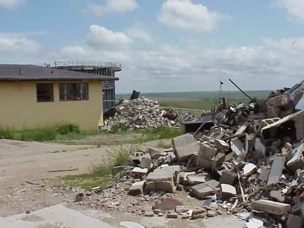
Site demolition circa 2016
2013 Youtube Video tour
May 2005 photos contributed by Andrew Hill

YouTube video contributed by mike AT mikeonline.ca
May 2004 photos contributed by Tom Scanlan
[Ed. note: Notice snow on the ground. North Dakota had a fairly intense snowstorm in mid-May, 2004]
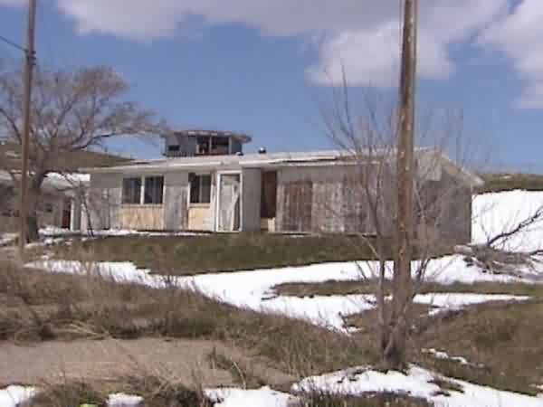
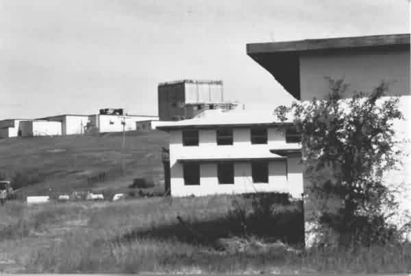
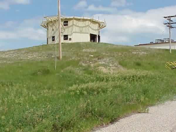
In base housing, FPS-26 tower in background
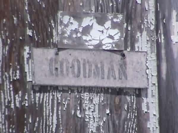
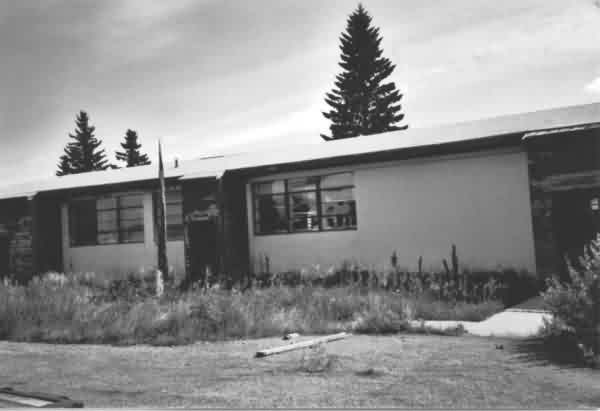
A Goodman lived in this base housing unit

View of ops area from base housing
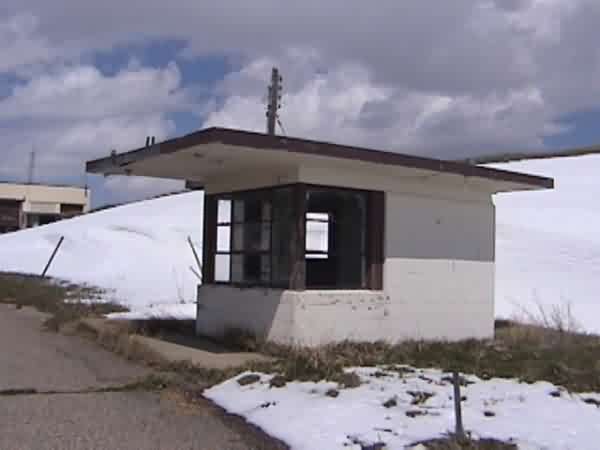
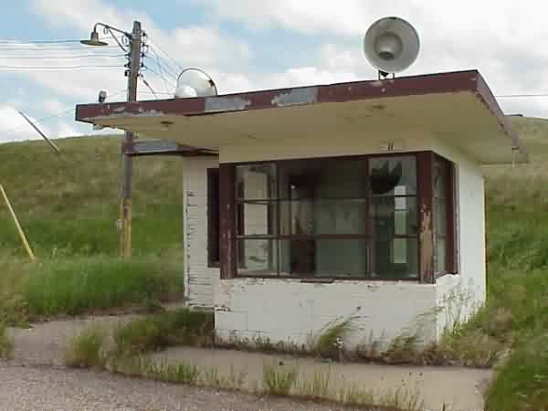
Air Police shack at entrance to Ops Area
FPS-26 tower in background, FPS-35 tower right background, FPS-20 tower right foreground
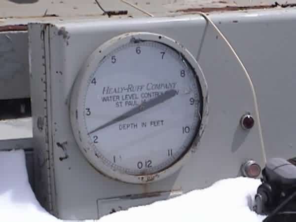
Water Well montoring equipment
September, 2001 photos contributed by Mike Ferolito
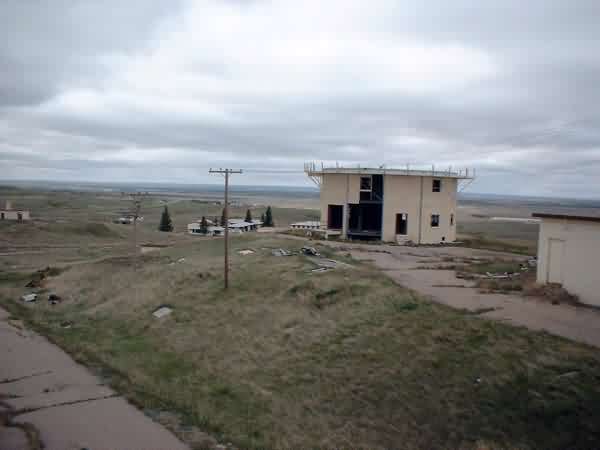
A view of the old Ops / radar area as seen from the barracks area.

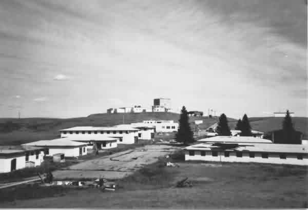
The former Fortuna AFS as viewed from the west.
A view of the old 780th HQ building and what`s left of the flag pole.
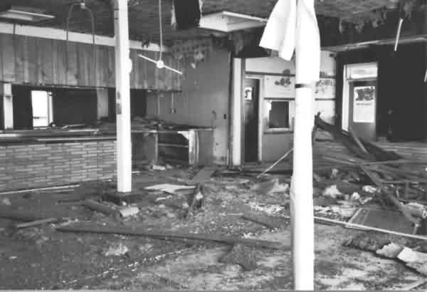
Interior view of the Fortuna AFS dining hall -- clearly, the old chow hall has seen better days.
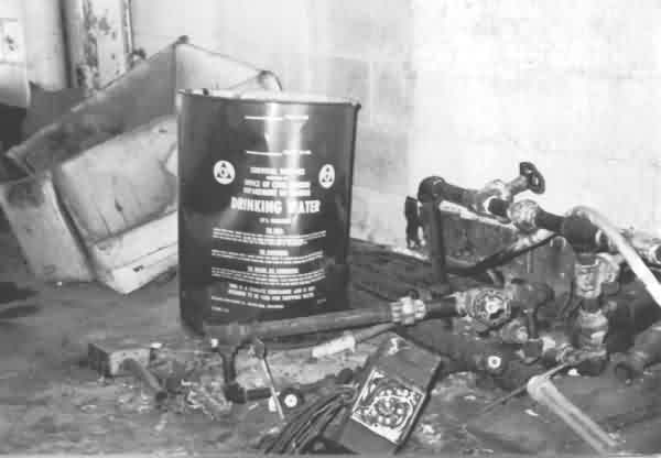
Interior of the power plant showing an old disaster-preparedness drinking-water barrel.
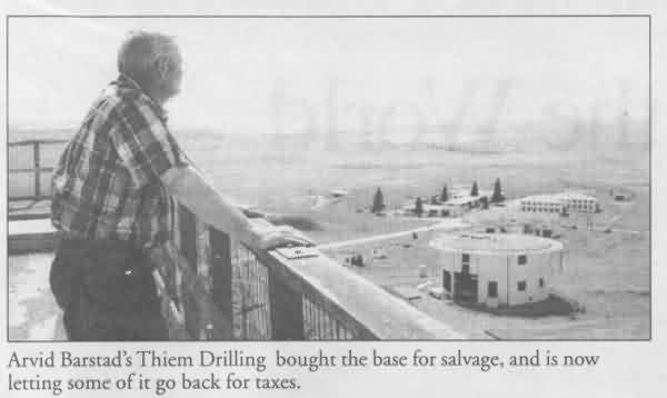
The photo above is from the Fortuna AFS 50th Anniversary Special Edition of the Crosby, ND Journal. Copies of this publication are available from the Journal at the link above.
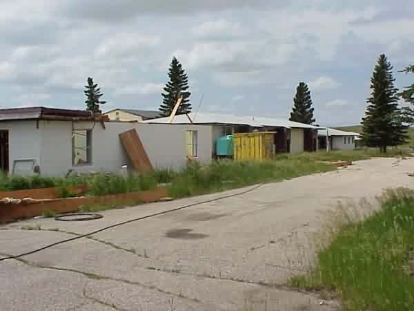
These June 2001 photos contributed by Gene McManus
Some notes from Cecile Wehrman, the news editor at the Crosby, ND Journal
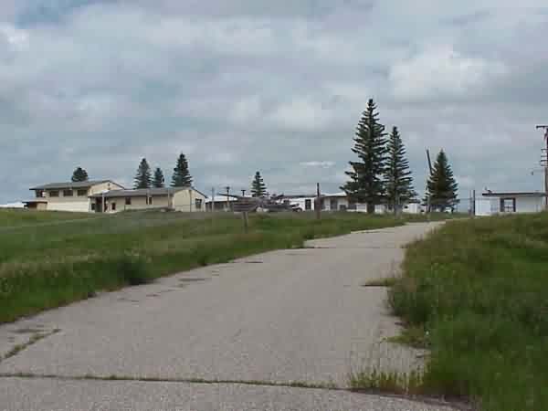
Radar & Ops area viewed from housing area gate on Hwy 5
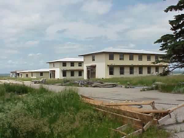
Some of the housing area, viewed from housing area gate on Hwy 5

Radar & Ops area viewed from housing area gate on Hwy 5
Cantonment area & main security gate. The main security gate was chained, but not locked, so ...

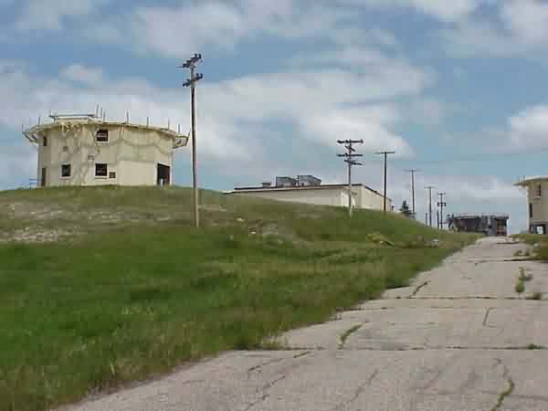
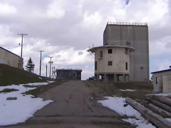
Headed up the hill toward the radar & ops area.
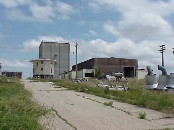
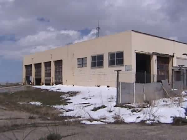
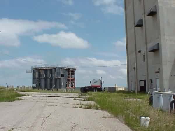
Black building believed to be the power plant/diesel building.
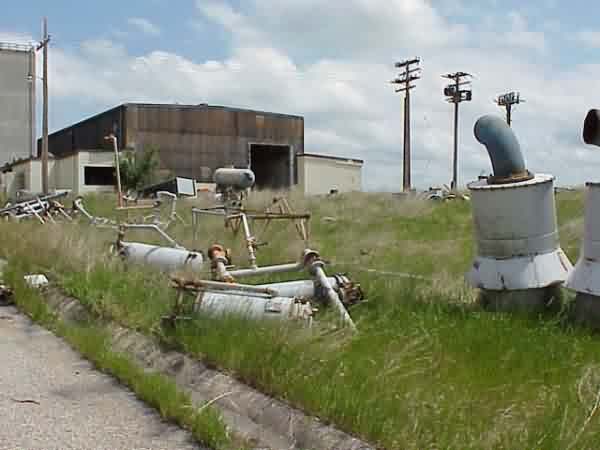
Some of the "stuff" removed from the (presumed) power building.
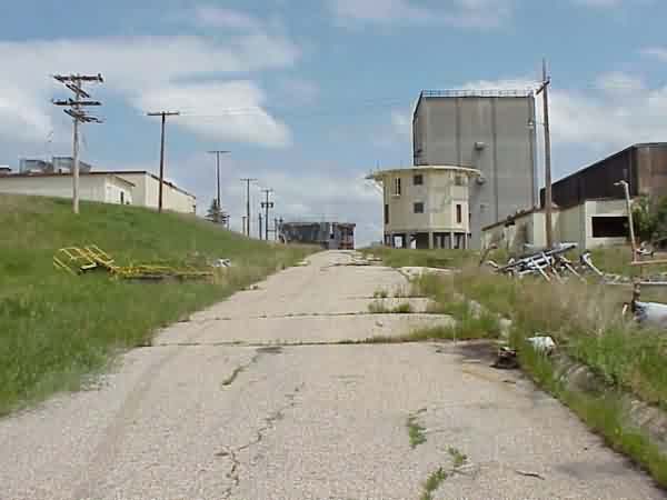
FPS-35 tower on the right, FPS-26 tower in background.
Power panel laying outside ops building.

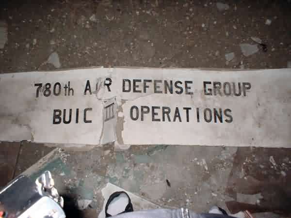
Radar site emblem laying on floor of ops building. Painted on wallboard, it was not salvageable.
Looking outward (generally east) from the hole in the ops building.
The following photo (June, 2000) ound at http://www.geocities.com/lrfye/westby.jpg
