Fort Lawton, WA Recent Photos
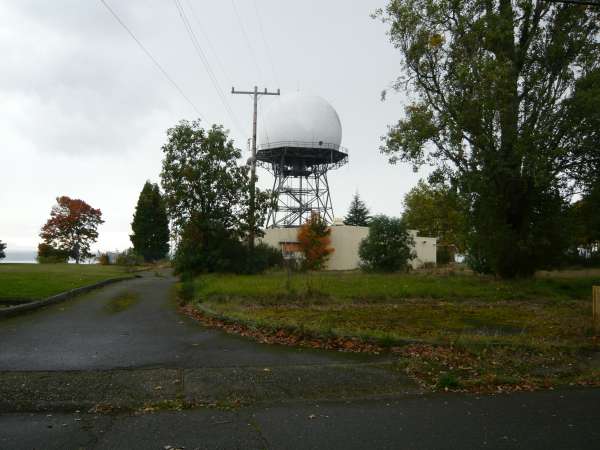
2012 Radar Site looking North
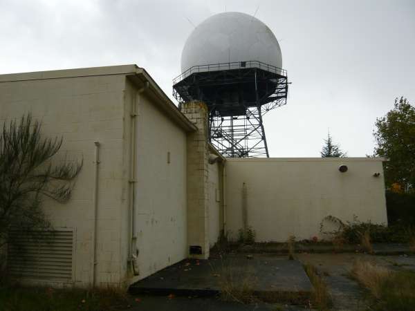
2012 Radar Site looking East
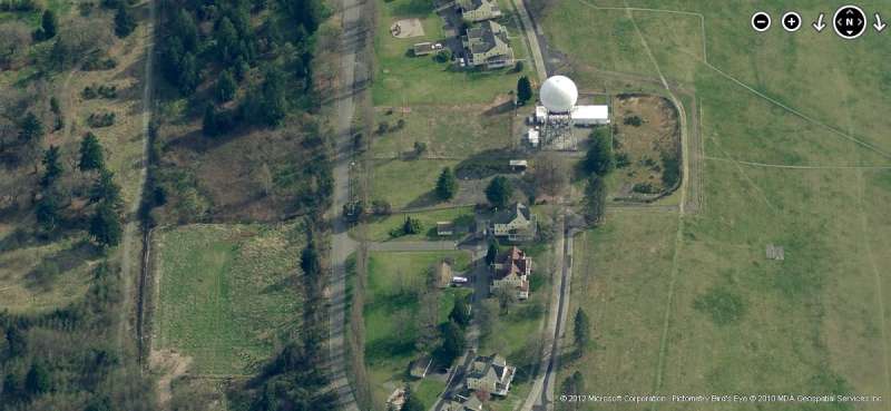
2012 Radar Site looking South
2012 Radar Site looking West
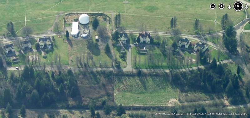
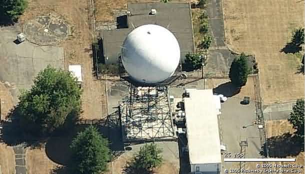
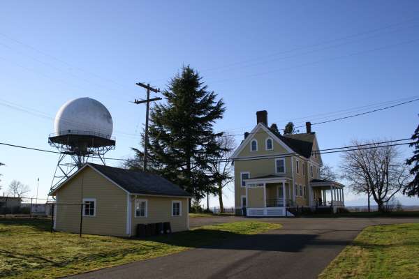
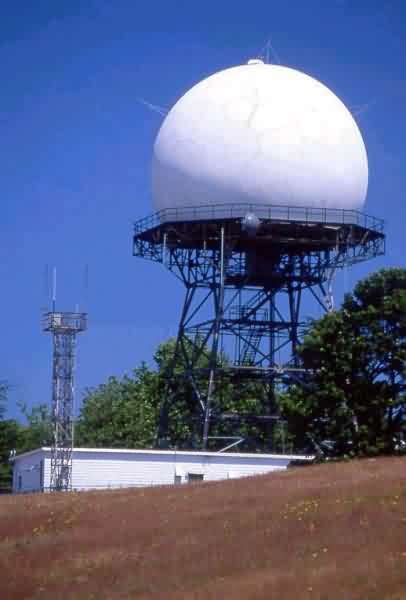
Radar Site - looking North
Radar Site - looking North
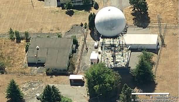
Radar Site - looking East
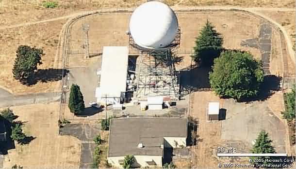
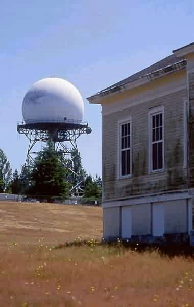
Radar Site - looking South
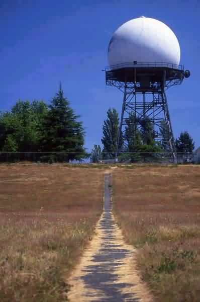
Radar Site - looking West
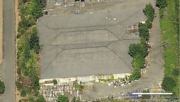
Missile Master
-----------------------------------------------------------------------------------------------------------------------------------------------------------------------


Courtesy of "Seattle Magazine" (posted 18 April 2017)
http://www.seattlemag.com/northwest-travel-and-outdoors/discovering-discovery-park
Source: http://www.flickr.com/photos/packet/2412926026/
(C) Copyright, all rights reserved -- displayed here for historical, non-commercial uses only.

Sunrise
Source: http://www.flickr.com/photos/jeff_engel_2000/3001300625/
Fall 2008 photos contributed by Dave Handa
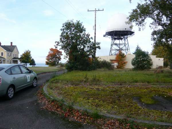
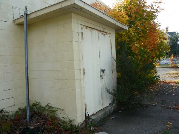
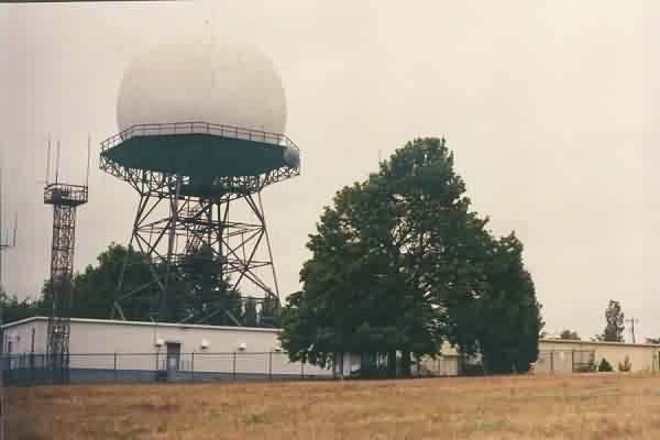
Note: The cinderblock building pictured was the Air Force long-range radar (LRR) Operations building for the 635th Radar Squadron (SAGE) [which originally operated down at McChord AFB]. The circular pad was for one (of two) AN/FPS-6 height-finder radar towers. The Army also had two AN/FPS-6 height-finder radars, but the Army`s radars were mounted on open steel "temperate" towers (as seen in our vintage photos) instead of enclosed "arctic" radar towers with radomes. One Air Force AN/FPS-6 height-finder radar was later replaced by an AN/FPS-26 frequency-diverse height-finder radar (which had better anti-jamming capabilities); that installation, however, took place in 1963 only months before the Air Force moved out.


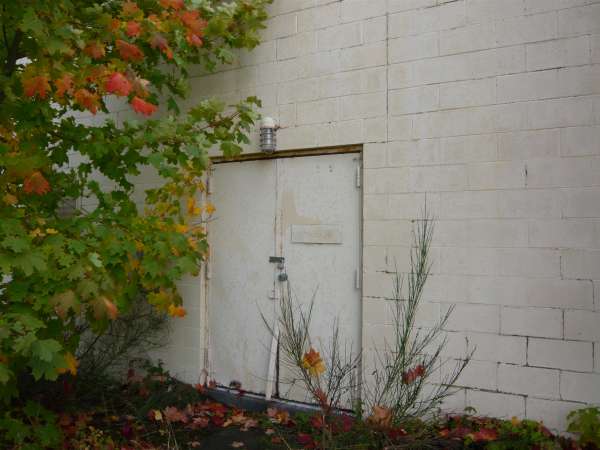

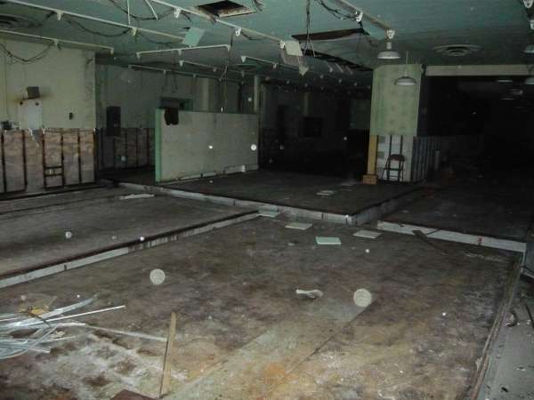
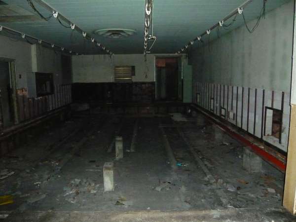
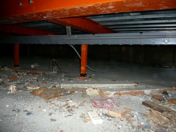
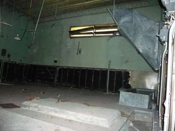
The following are some interior shots of Bldg 653, the Ops building
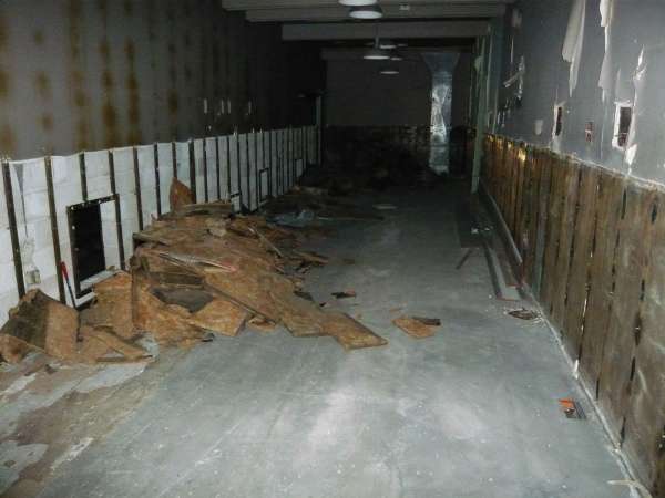

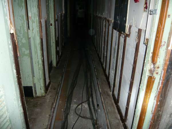
This photo and the one following are a cable run that goes directly west into the FAA complex.

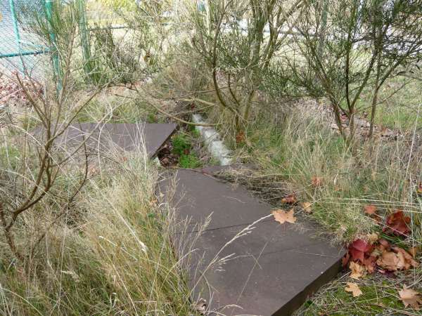
This cable run goes in a generally northwest direction.
Source: http://farm3.static.flickr.com/2257/2157492178_928c9ca0c8.jpg?v=0
linked from: http://www.seattlest.com/tags/discovery
LRR & Ops Bldg
source: http://www.pbase.com/pvogelzang/image/38231469/original
source: http://www.pbase.com/pvogelzang/image/38255900
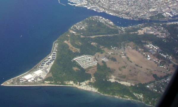
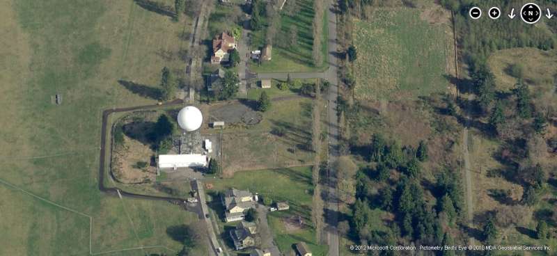
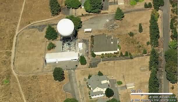
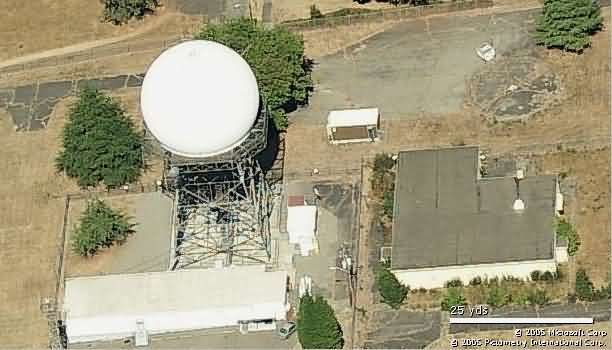
Photo source: http://foley.ultinet.net/~gerry/aerial/aerial.html
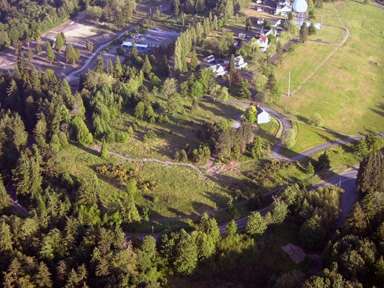
Photo source: http://www.discoveryparkhabitat.org/default.asp
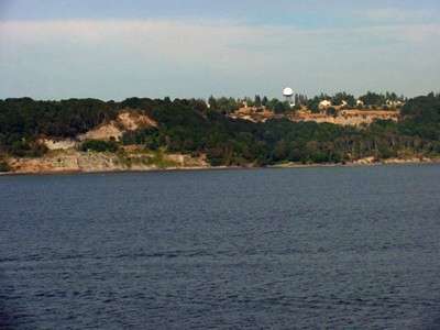
A view from the sea
photo source: http://www.centerforlakewashingtonstudies.com/ak/ak1/s1.63.htm
Source: http://ben.woodmantilden.com/foto/20030711/
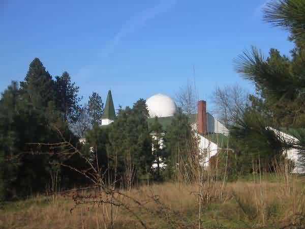
[According to the source, the structure we thought was a radar tower is really a "water tower"! Gee, learn something new every day!]
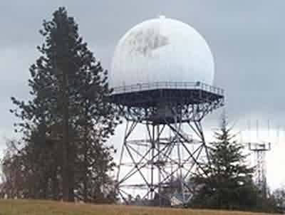
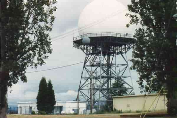
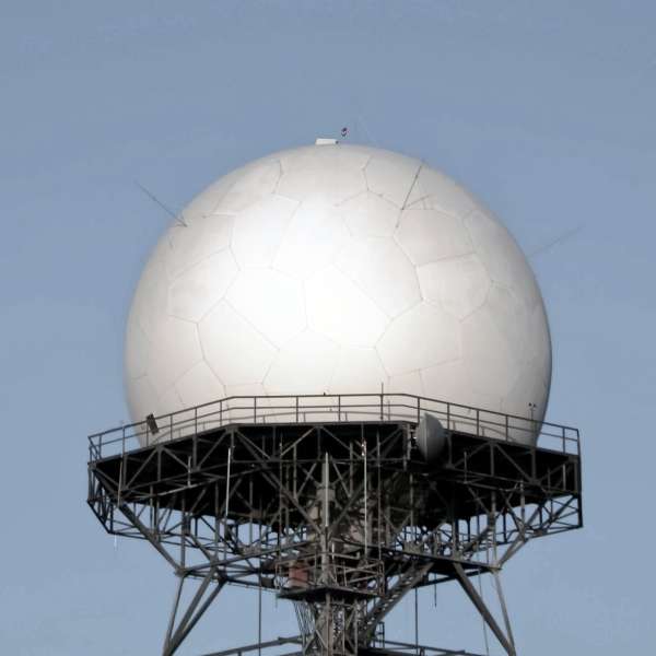
ARSR-1E From http://www.miscmedia.com/6-8-01.html
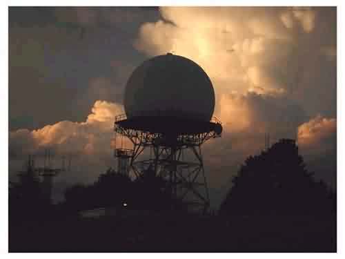
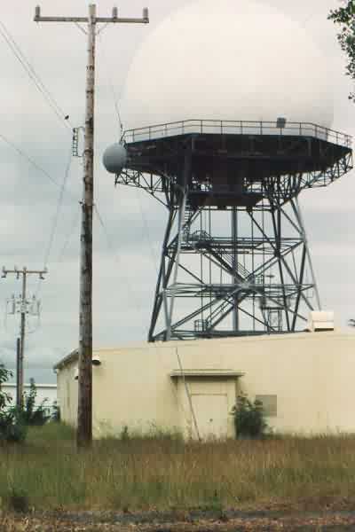
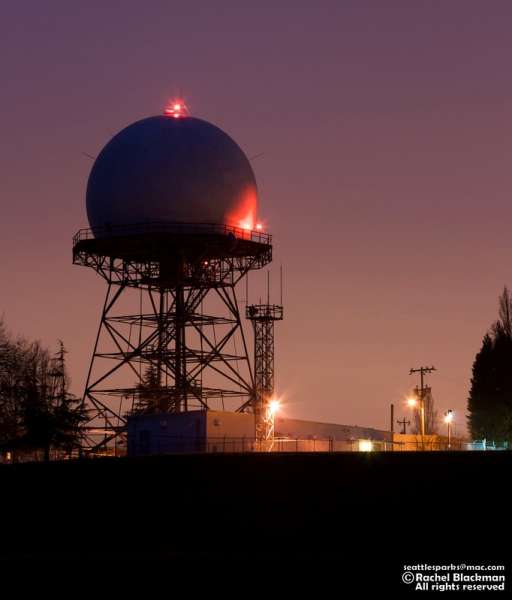
ARSR-1E at sunset. From http://www.winisp.net/orjan/Stuff/RadarTower.htm
July 2001 photos and notes by Tom Page
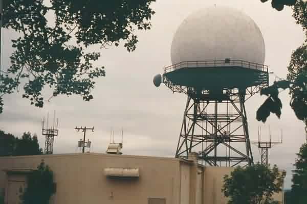
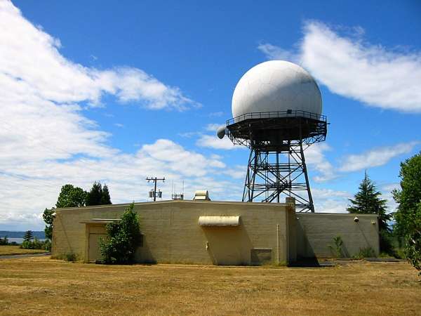
A view of the old USAF LRR Operations building and the ARSR-1C search-radar tower. Fort Lawton became home to the USAF`s 635th AC&W Squadron (ADC) after it relocated here from McChord AFB in 1960. [looking west]
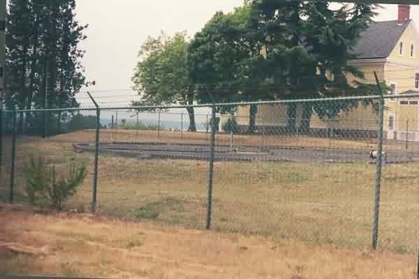
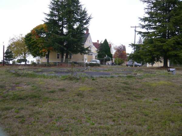
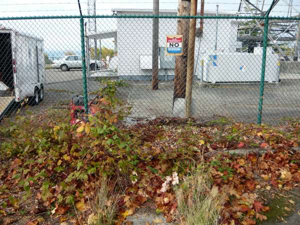
The foundations of one of the two Air Force AN/FPS-6 height-finder radar towers, the one that stood northeast of the search radar. No traces were found of the other AN/FPS-6 height-finder radar towers (Air Force or Army) or the Air Force AN/FPS-26 height-finder radar tower. [looking northwest]
Another view of the old USAF LRR Operations building (far right), plus the FAA building (left) and the ARSR-1C tower. [looking ~ north-northeast]
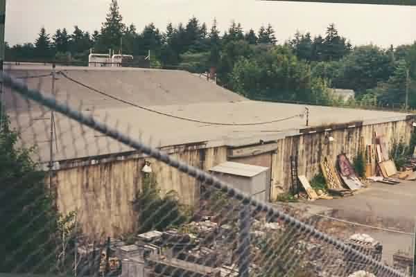
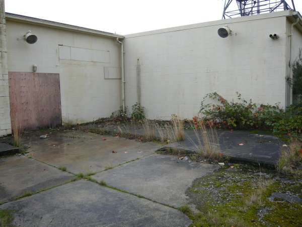
The old US Army Nike Missile-Master blockhouse. Clearly, this building has seen better days. [looking east-northeast]
contributed by Jim Ray
Photos of the Ft. Lawton, WA ARSR-1C