Recent Photos of Fort Dearborn GFA, NH
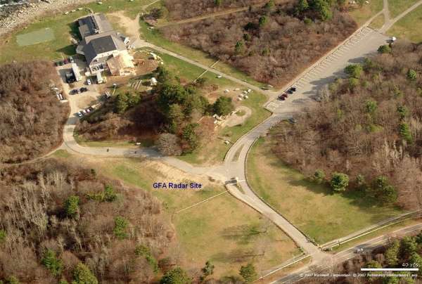
The Gap-Filler Annex radar facility is no longer extant.
Looking North
Looking East
Looking South
Looking West
Contributed by Scott Murdock
April 2001 photos and notes contributed by Tom Page from the "New" Tour, 2001
Located in present-day Odiorne Point State Park, off US Rte 1A, southeast of Portsmouth, NH.
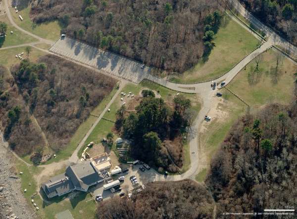
The Fort Dearborn WW-II coastal artillery position (Battery 204) on which stood the AN/TPS-1D search radar of Rye AFS ... but not the AN/FPS-14 gap-filler radar of the Fort Dearborn Gap-Filler Annex (the gap-filler radar site sat on the opposite side of the battery, to the west). Based on a vintage photo, the Quonset hut which housed Rye AFS’s radar-operations function sat in the foreground (concrete foundations are visible in the grass, and are presumed to have been for that Quonset hut). [Looking west]
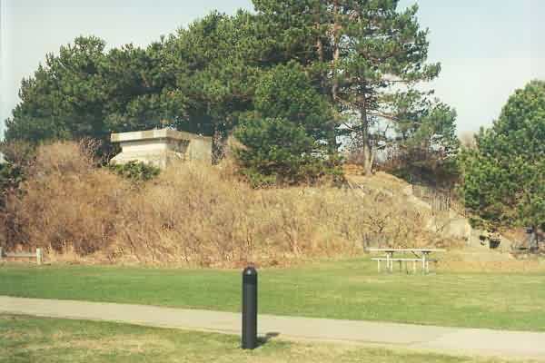
Another view of the Fort Dearborn WW-II coastal artillery position (looking northeast). As reported previously by Scott Murdock, no tell-tale radar-tower foundations are visible on top of this ‘hill.’
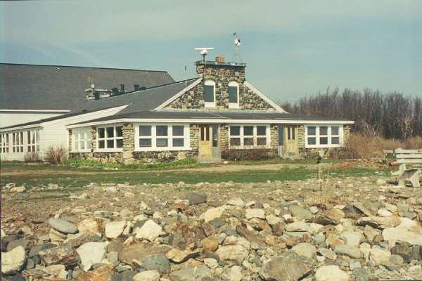
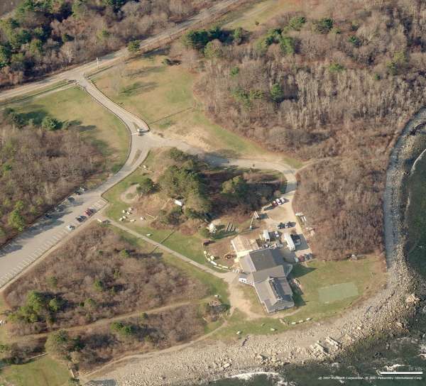
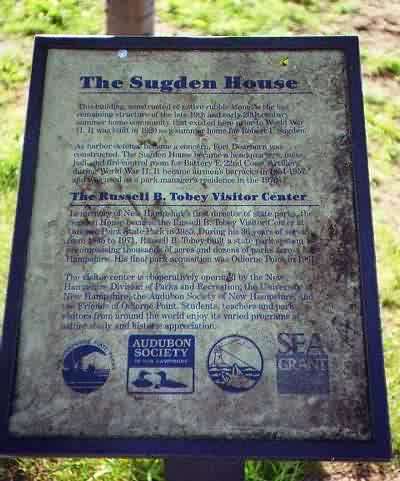
‘Sugden House,’ used as barracks during Rye AFS days, as viewed from the ocean side. This building is now part of the Seacoast Science Center within Odiorne Point State Park (see http://www.seacentr.org/).
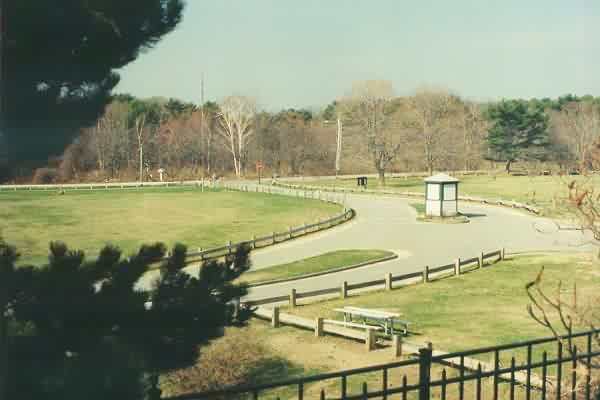
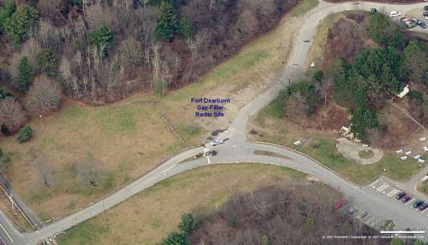
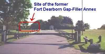
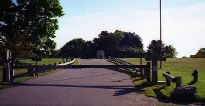
Main entrance into Odiorne Point State Park, this was the site of the Rye AFS cantonment area. The Fort Dearborn gap-filler annex sat just to the right (north) of where the present-day entrance gate shack is seen. [Looking west-northwest]
The following hotos and notes by Scott Murdock
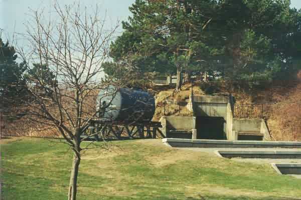
The bunker, with sign fromthe Southwest (highway side)
On top of the bunker
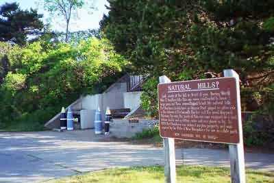
Visitor`s Center sign
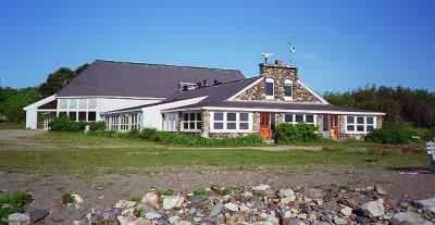
Visitor`s Center from the ESE (bunker behind the building)
Tom Page adds: This photo clearly shows the exact same stone building
that appears in the old picture of Rye AFS (first one on our web site).
That serves to pinpoint exactly where the AN/TPS-1D radar tower used to
stand. I would guess that the gap-filler radar tower stood in about the
same place (although this may not have necessarily been the case).
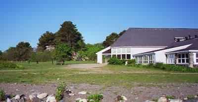
Visitor`s Center from the beach side,
bunker in background to left of building
Looking at the bunker area from highway 1A.
I was there too early for the gate to be open
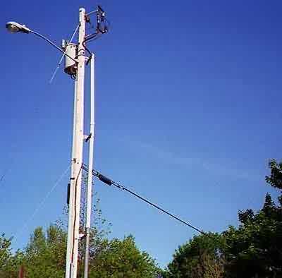
Power lines at highway 1A,
showing larger line coming into the property
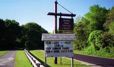
Sign along highway 1A,
too bad I wasn`t there on the right day>
for the gun bunker tours!