Flintstone AFS, GA
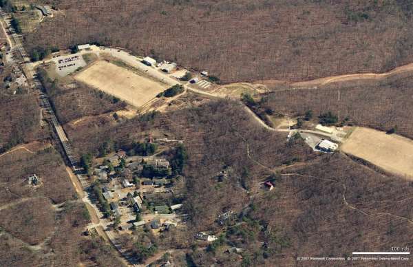
Site - Looking East
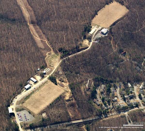
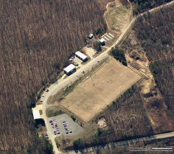
Site - Looking South
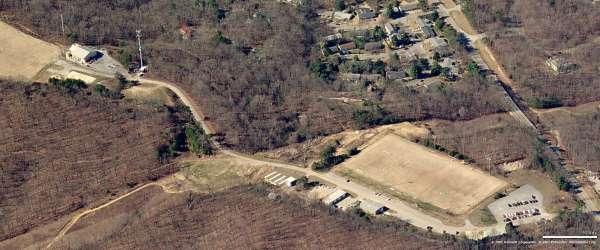
Site - Looking West
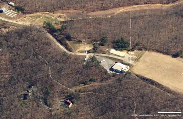
Radar Ops - Looking East
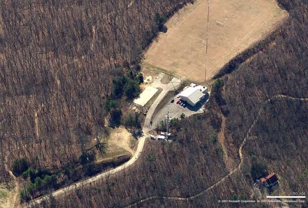
Radar Ops - Looking South
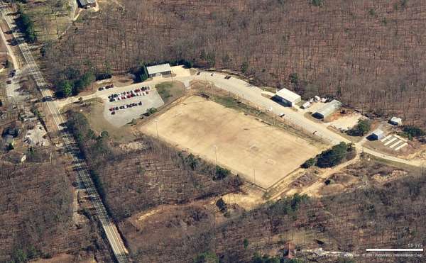
Cantonment - Looking East
Cantonment - Looking South
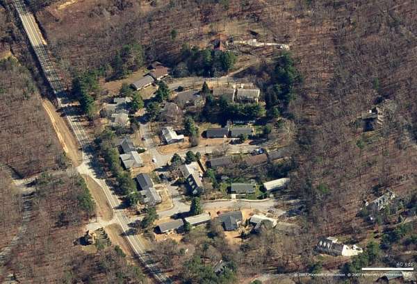
Housing - Looking East
Housing - Looking South
The following July, 2000 photos contributed by Tom Page
Looking north. Old operations building in the foreground. Covenant College in
the distance.
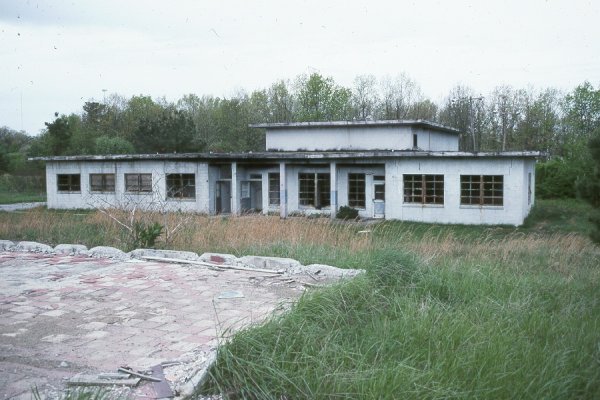
Old operations building, looking approximately north.
Foundations of the operations building, note cable troughs.
The following 1990 and 1996 photos contributed by Mark Morgan
The following contributed by Mike LaRoche
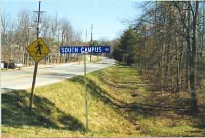
The entrance to the former Flintstone AFS may be found just off Scenic Hwy.
(Hwy. 157) on Lookout Mt. GA. Just after leaving Tennessee traveling SW on
Scenic Hwy. you will pass Covenant college on the right, the college building
was known as the "Castle in the Clouds Hotel" during the days of the 867th AC&W.
About a half mile past the college you will see South Campus Rd on the left,
this is the road that was the entrance to the 867th.
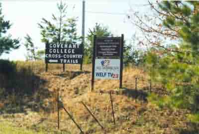
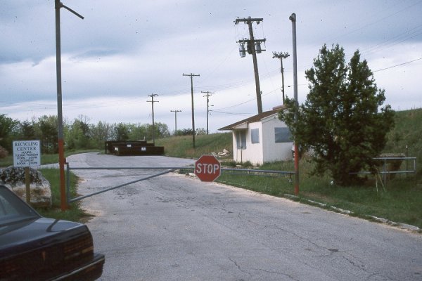
Most of the former site now belongs to Covenant college and the signs at the
entrance give some idea of it`s present uses. "Shadowlands Field" is a soccer
field located at the lower site where the barracks once stood while "Highlands
Field" is located on the former upper site at the GATR location and beyond. In
addition to the facilities listed here there is also a paint ball range located
on the lower site. I also understand that the lower site served as an
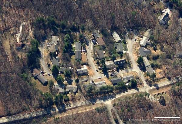
elementary school for a number of years. Note: Flintstone AFS was divided into
two areas, the lower site contained the administrative and living areas while
the upper site contained the actual operations areas.
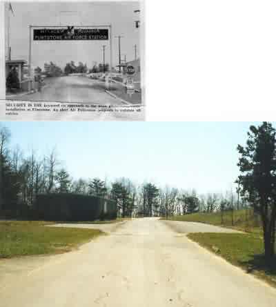
Standing at the entrance to South Campus Rd you can still see the resemblemnce
to this old photo furnished by John Smenner. The curve of the road, the parking
area`s to the side, even some of the curb is still there.
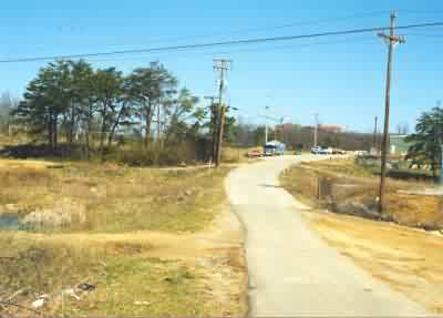
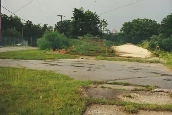
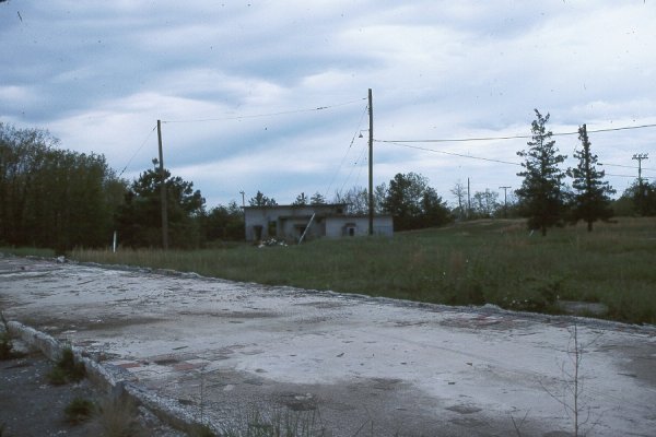
The upper and lower sites were connected by a road that crossed a power line
right of way. This photo is taken of the lower site location from an area near
the upper site. To the left in this picture (behind the trees) is the
Shadowland Soccer field.
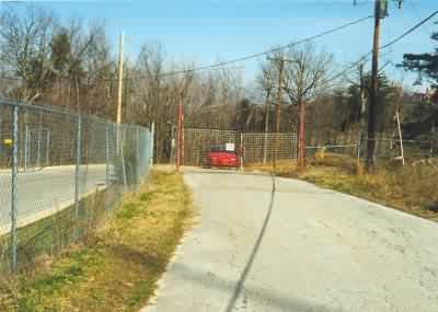
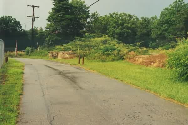
This photo was taken from inside the upper site looking back at the gate, this
appears to be the original gate to the upper site.
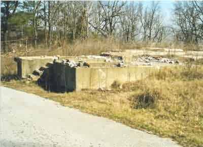
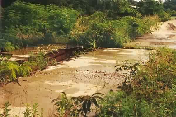
The remains of this unidentified building is just inside the upper gate to the
left and was beside the operations building. It appears that it may of had a
loading dock at one time.
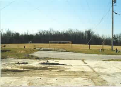
This photo was taken from the middle of the operations building looking SW
towards Highland Soccer Field. The foundation in the middle of the photo has
cable troughs and I believe was associated with the search radar.
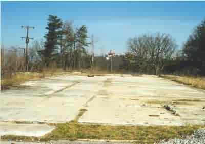
This photo was taken of the remains of the operations building from what was the
SW entrance looking NE. The building in the center of the photo off in the
distance is Covenant college.
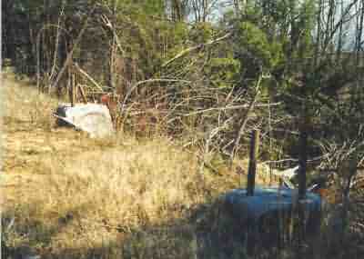
Behind the operations building I found 2 of the second height finder mounts.
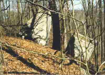
And down the side of the mountain I found the other 2 mounts.
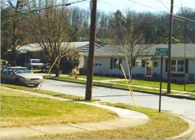
Leaving Flintstone AFS and taking a left on Scenic Hwy I found the family
housing area about a 1/2 mile down on the left. It was not hard to spot, the
houses were all similar size and design and looked like base housing. The fact
that there were sidewalks was another clue, something very rare in Dade county
Georgia Of course the biggest clue was that 2 of the 3 streets were named for
867th commanders (Krupski and Carter) I have no knowledge of the origin of the
name of the third (Martin). Overall the houses were well kept in this area, I
might keep an eye out in this area for some rental property.