Fallon AFS, NV
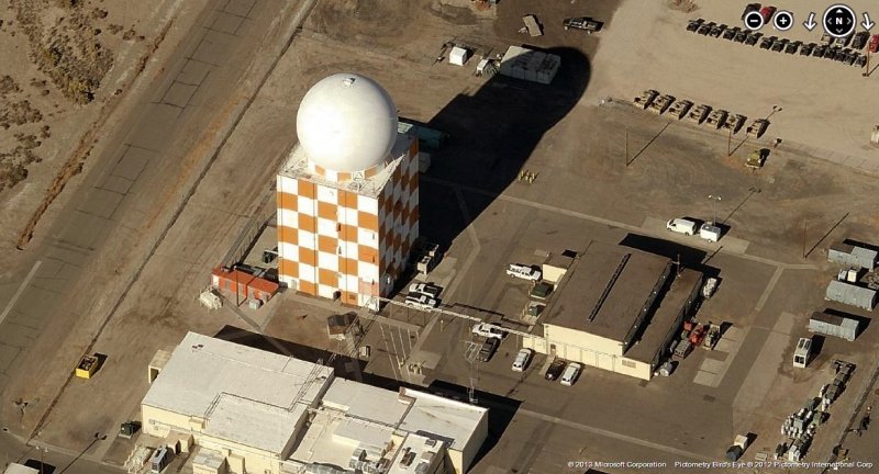
SAGE Radar Site 2012 image looking North
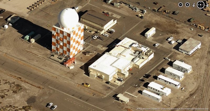
SAGE Radar Site 2012 image looking East
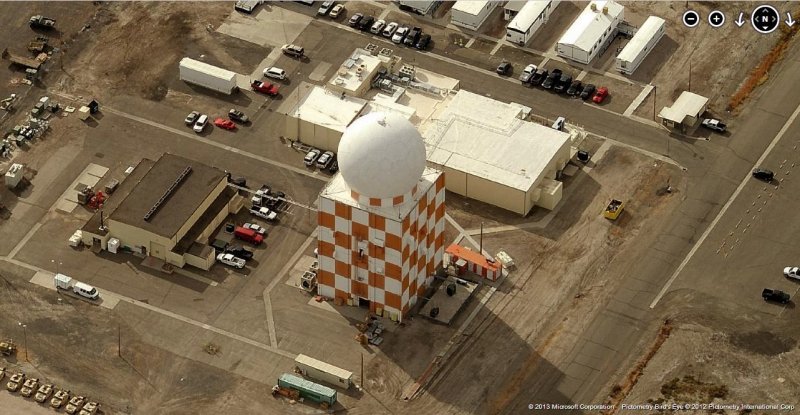
SAGE Radar Site 2012 image looking South
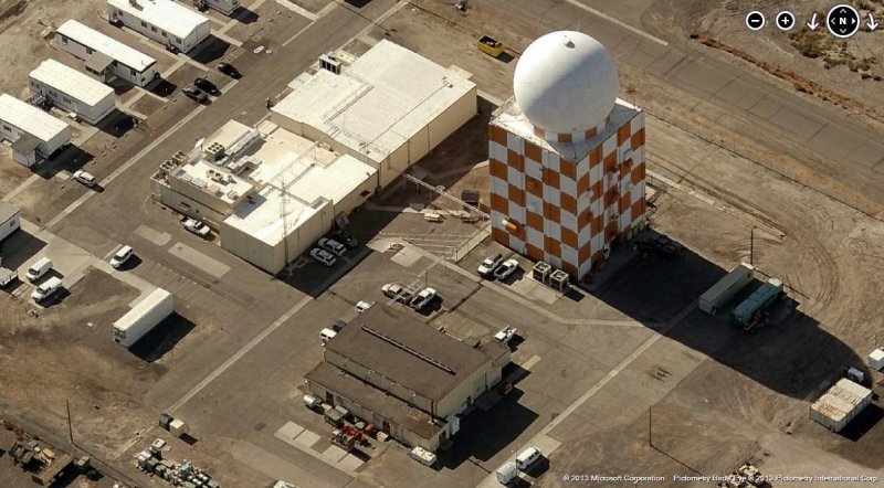
SAGE Radar Site 2012 image looking West
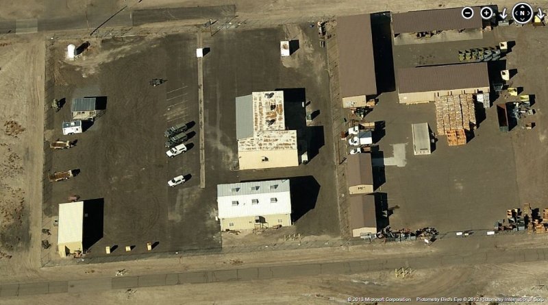
GATR Site 2012 image looking North
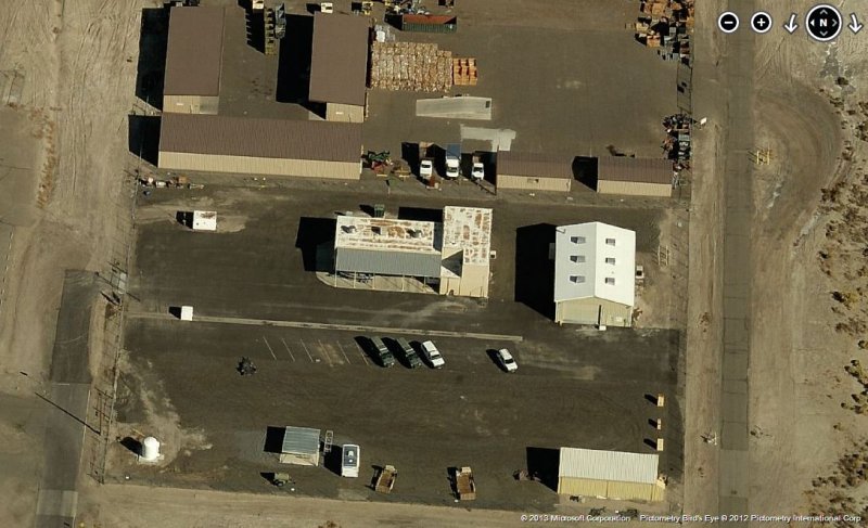
GATR Site 2012 image looking East
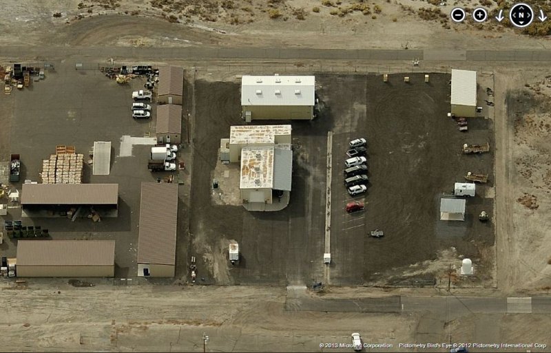
GATR Site 2012 image looking South
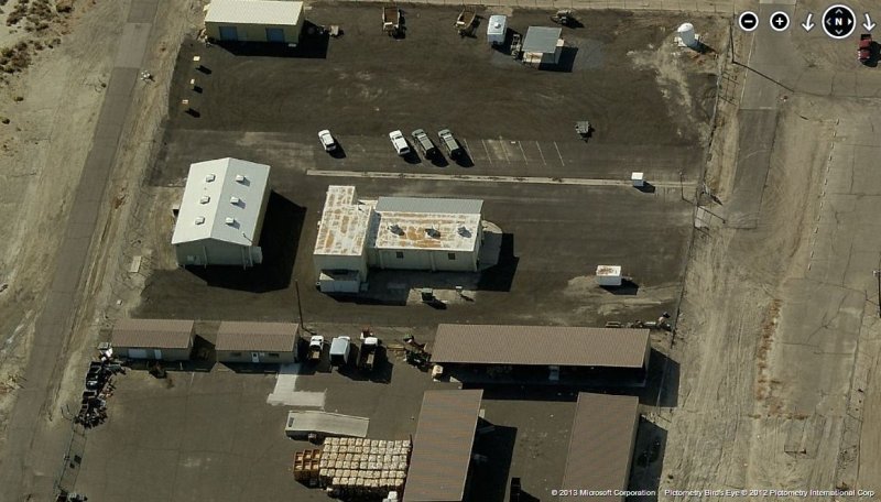
GATR Site 2012 image looking West
GATR Site 2012 image looking West
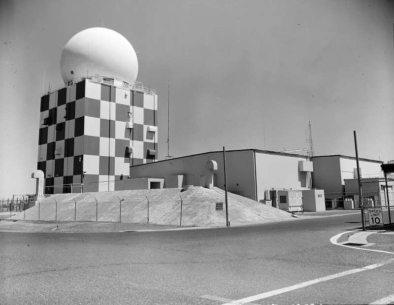
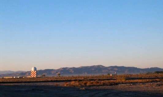
Photo source: http://www.mikesweblog.net/photojournals/2001_10_01_archive.html
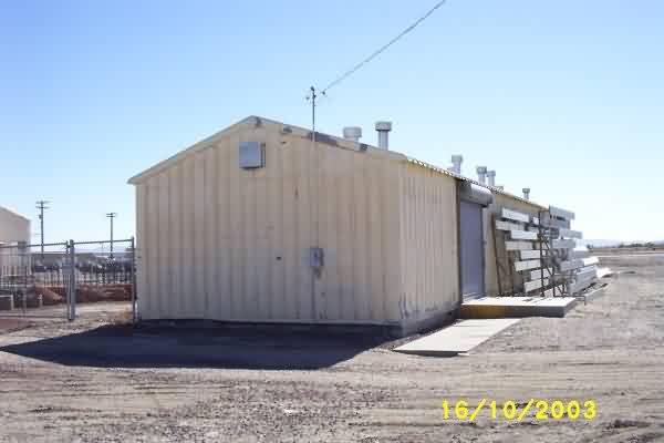
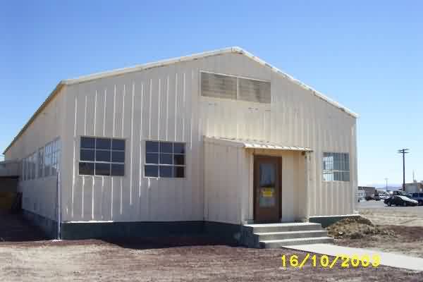
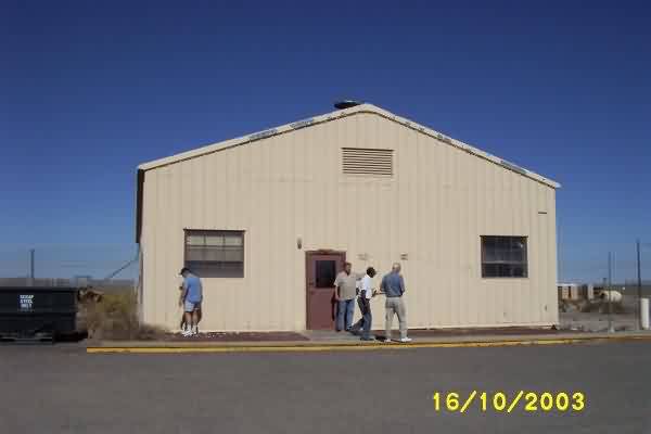
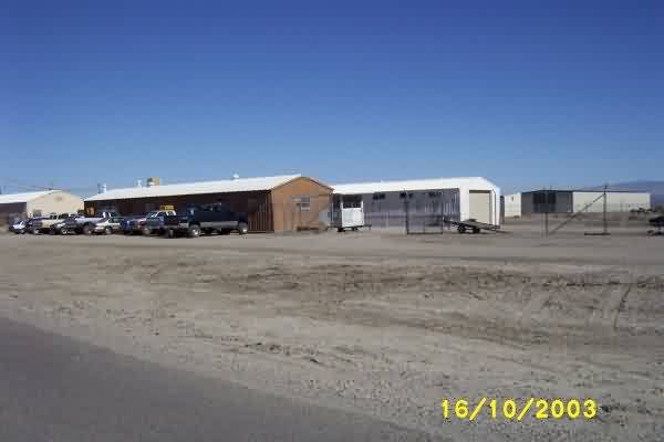
October, 2003 photos & notes by Paul Bitler
Recently five old guys visited the 858 AC&W at Fallon (56 to 60 era). Only a few buildings are standing today.
A1C Barracks (1960), now used for storage.
Mess Hall (1960), now used for housing maintenance.
Operations (1960), now used for storage.
Tech Supply (1960), now Contractor Office. Behind building is the old guard shack, on a trailer.
October, 2002 photos & notes by Tom Page
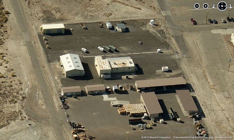
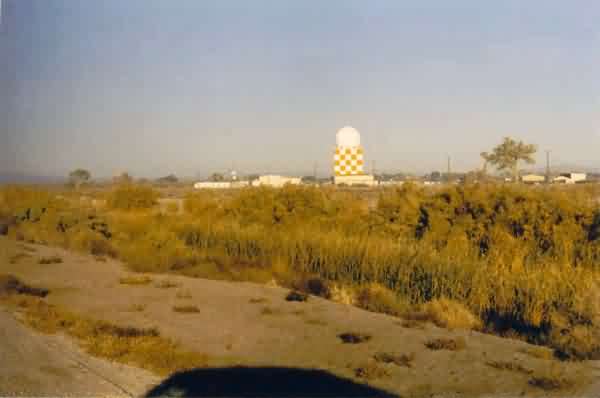
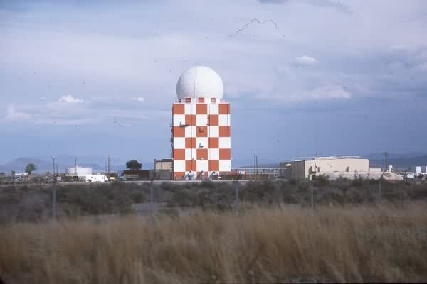
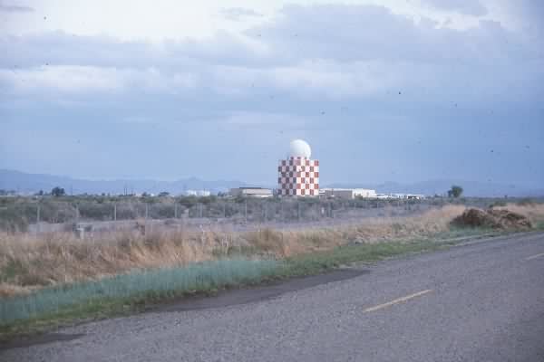
In addition to the former USAF SAGE radar site (now FAA radar facility) located at the southwest corner of the Naval Air Station, I had hoped to get photos of the former USAF cantonment area, housing area, original AC&W radar site, and GATR site, all located about a mile to the east on the main base. However, just west of that point a fence/gate now crosses State Road 119, Berney Road, that runs east-west south of the base. I did not feel like going to the visitor`s entrance to attempt to obtain a pass, so I settled for photographing only the SAGE radar site. The old AN/FPS-35 (now AN/FPS-66A) radar tower still is painted with red-and-white checkerboard, but the tower now sports the newer radome type. Otherwise, the site pretty much looks like it did in previously-sent "recent photos."
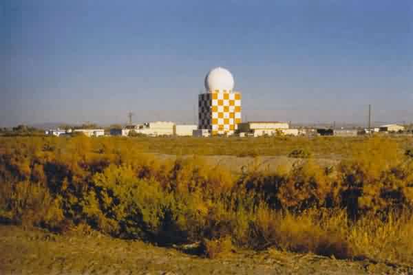
This photo shows the SAGE (now FAA) radar site from SR 119 roughly a quarter mile from the site. The time of day was early morning. [looking west-northwest]
Same as above, only closer. [looking north-northwest]
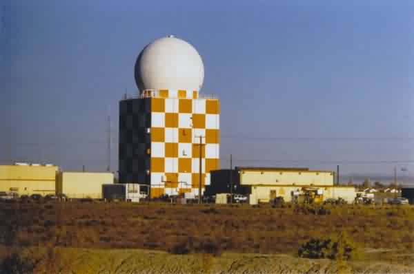
Same as above, but shot through a 135-mm semi-telephoto lens. [looking north-northwest]
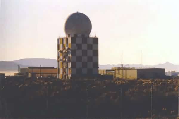
This photo (again shot through a 135-mm lens) shows the SAGE (now FAA) radar site from SR 120, Pasture Road, which is the north-south road just west of the radar site. [looking south-southeast]
The following 1989 photos contributed by Mark Morgan
...................................................................................................................................................................................................