Recent Photos of Davenport GFA, AL
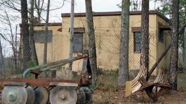
Looking North
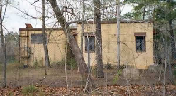
Looking East
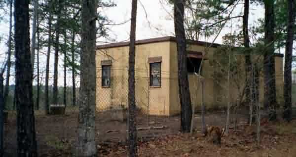
Looking South
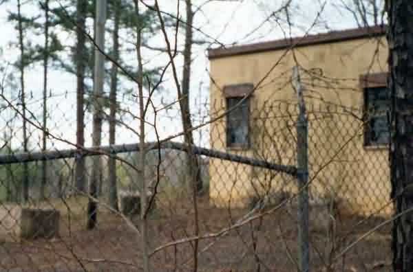
Looking West
Jan 2009 photos & notes by Tom Page
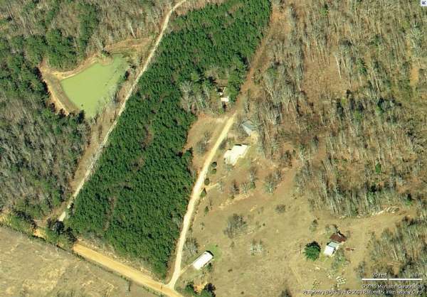
The Davenport Gap-Filler Annex, AL, is located in a rural but scenic location south of Montgomery. This is one of those gap-filler radar facilities that was completed but apparently never became operational. The site access road is off Rocky Mount Road which is a dirt road (more like red clay) accessed from SR 97, Davenport Road, not far west of US Rte 331.
The facility looked very similar to how it appeared in Scott Murdock`s 2001 photos, only the building looked like it had been painted since then. The overall site looked cleaner, too.
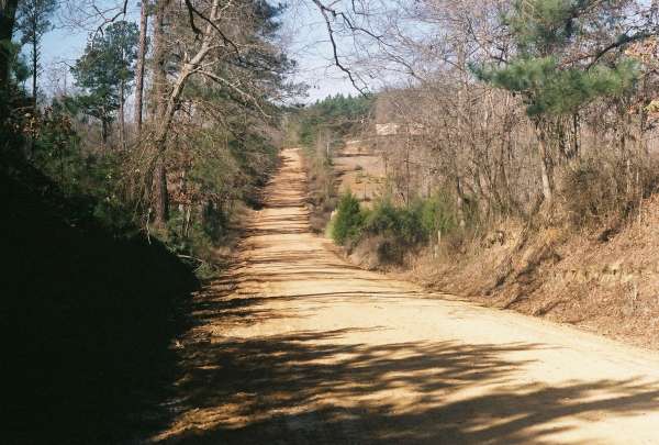
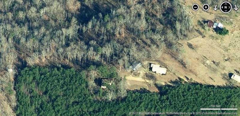
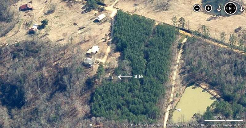
This photo shows Rocky Mount Road from which the gap-filler annex is accessed. The access road for the radar site itself is seen in the distance where Rocky Mount Road crests the hill; from that point, the site access road goes up to the right (north). [looking west-northwest]
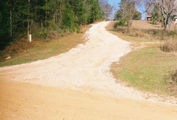
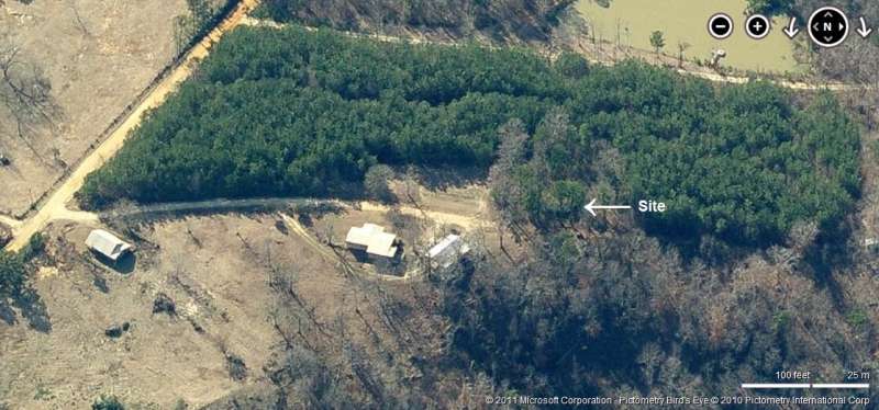
This photo shows the radar-site access road with Rocky Mount Road in the foreground. The radar building itself is just beyond the crest in this road, on the hill top. [looking north]
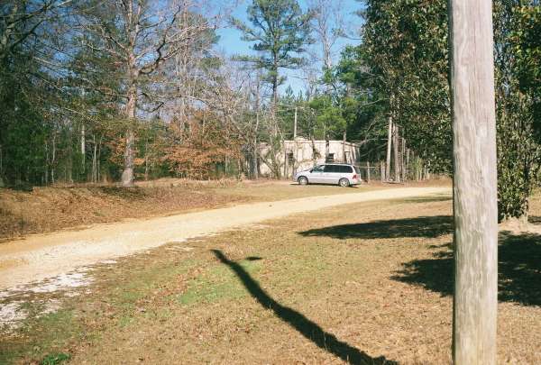
This photo shows the radar building with the family minivan parked in front. Seen is the end of the building where the radar tower would have stood (it is not known if the radar tower was ever installed here, though). [looking north-northwest]
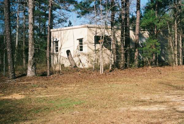
This photo shows a close-up view of the radar-tower end of the building. One radar-tower foundation/footing is clearly seen. [looking northwest]
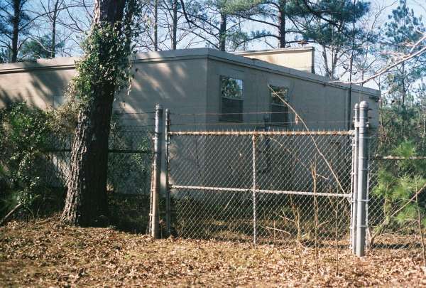
This photo shows a close-up view of the diesel-generator end of the radar building. The diesel-generator section extends to the right (west), past the firewall. Also seen in the foreground is the site entrance gate in the original chain-link fence. [looking west]
March, 2001 photos by Scott Murdock