Recent Photos of Curlew AFS, WA
2004 photos & notes contributed by Richard Konizeski
Dick writes:
Here are several images taken up on Bodie Mountain at the Operations area. The contonement area actually resides on Bamber Mountain, with the road leading to the Ops Area ending up on Bodie Mountain. It might help to look at the vintage photo of the cantonement area which shows the Operations area behind it and up on the mountain.
We didn`t need 4-wheel drive the day we went up, which was beautiful and dry. The road is in good shape, and can be accessed by pickup truck or any SUV with a reasonable high ground clearance, such as an Outback. I wouldn`t take my family car up there as I was able to do at the Naselle site a few years ago.
In order to keep the speed down, the Forest Service, or whoever maintains the road, has created low but passable berms across the road in several spots in areas where a driver would tend to build up speed while ascending the mountain. I`ll wager the bikers and quad runners enjopy catching air on `em.
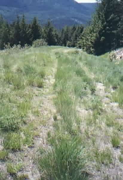
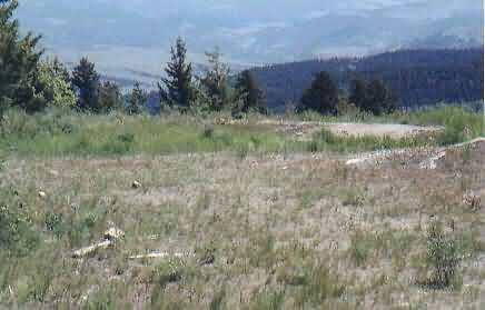
Once you break out of the trees and woods at the top, the scenery is magnificent, and well worth the trip on its own merits. The road to the site would be treacherous in wintertime, as some of the switchbacks would provide real thrills in the snowy, rainy, and foggy weather. The Ops area was beautiful and green, due to the high amount of rainfall we`ve had this year, and also because there are springs present, as shown on the topo maps.
Lots of deer and wild turkey were visible the day we went up, and there are several old log-buildings - a cabin or two and some outbuildings - located between the cantonement area and about halfway up the mountain; they could merit a stop and looksee for those interested in old frontier type buildings.
Several `No Trespassing` signs are seen on the way up where spur roads take off from the main road, and where horse ranching and cattle grazing amoung the trees and brush is evident. Logging has taken place on parts of the mountain, with grass taking over, in places among the remaining small timber, which provides some grazing capability for the cattle.
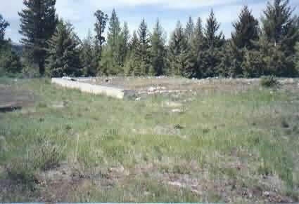
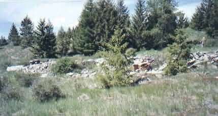
One of the access roads to what we think is a Transmitter or Receiver building. This is the road showing at the bottom of Tom Page`s 1958 B&W photo he got from the Whittier College; the road descends from the ops area and buttonhooks to the left at the bottom, opening up to the area where the building was located.
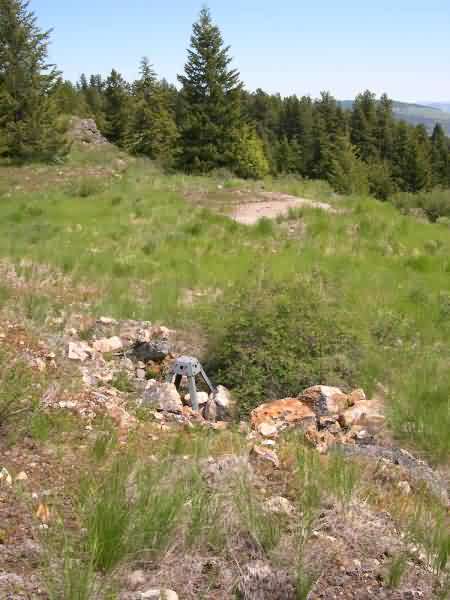
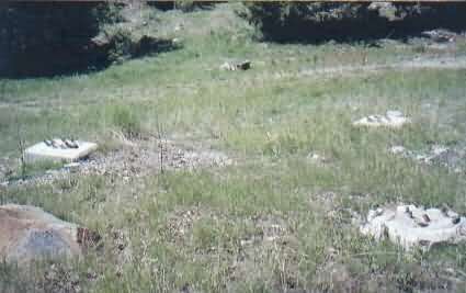
This image is one of the adjustable antenna rower footings at the Rx or Tx building site.
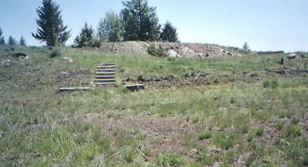
The image showing the stairs to the tower also shows a couple of low, long concrete footings off to the right. A rectangular building was located there, right below the tower, which was 15 or 20 feet higher in elevation than the tower. There is no evidence of a stairway to the other radar tower, but there is lots of debri scattered everywhere, with many footings containing anchor bolts. I wonder how many radio antennas there were at the time the site was operational.
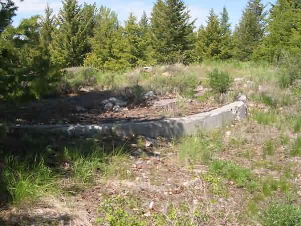
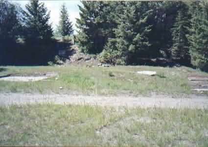
One small foundation still remains in this area. It`s alow circular doundarion footing, with a rectangular footing leading out from one side, so the the entire configuration is shaped like a keyhole. My guess is that this was the location of a water tower, with a pumphouse attached.
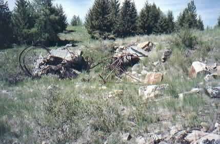
This photo almost certainly shows the gap-filler radar-tower foundations/footings
1999 photos contributed by Brian Sewell
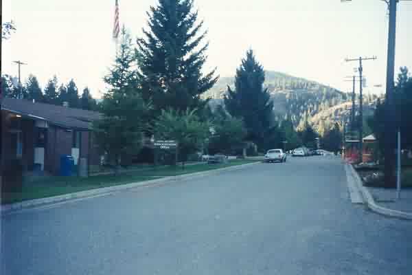
Main Street with Hq building on the left
Operations building
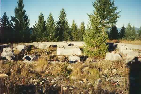
Tower foundation
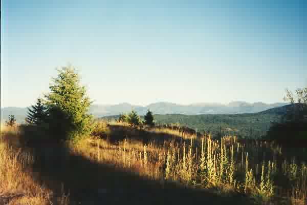
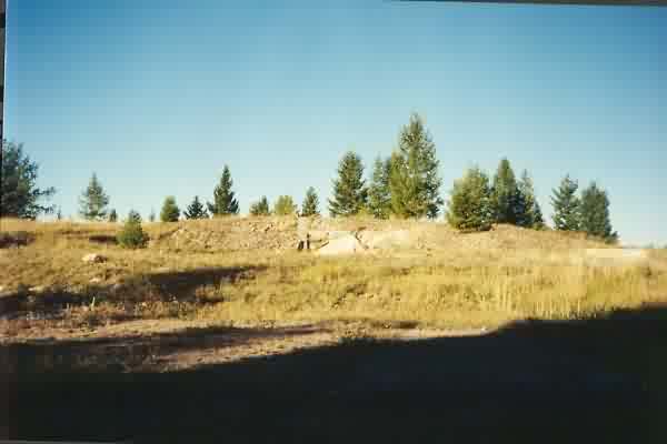
Some of the spectacular scenery