Recent Photos of Covered Wells, AZ GFA
September 2002 photos contributed by Tom Page
This photo shows the south end of the radar-equipment building, with the three radar-tower foundations/footings seen in the foreground. [looking due north]
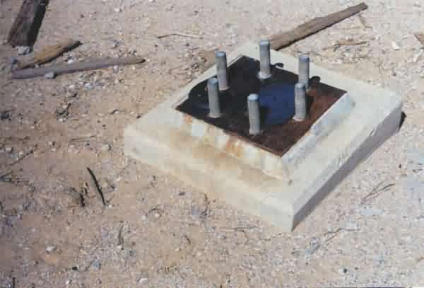
This is a close-up of one of the three radar-tower foundations/footings, the one at the northeast corner of the triangle.
This photo shows the southeast corner of the gap-filler annex building. The diesel-generator wing is seen to the far left (west). The three radar-tower foundations/footings are also seen to the left (south). [looking northwest]
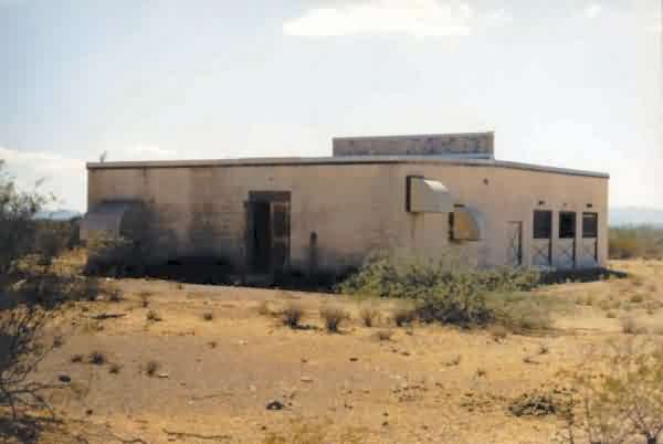
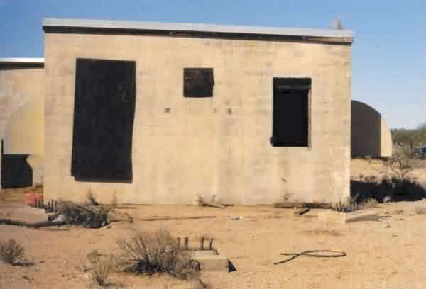
This is a view of the northeast corner of the Covered Wells GFA radar building; the diesel-generator wing is seen to the right (west). [looking southwest]
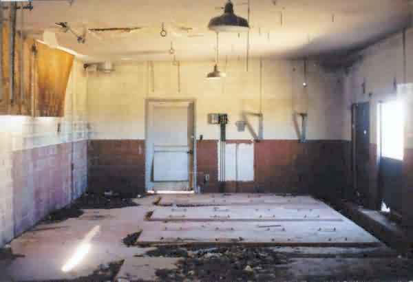
This photo shows the interior of the diesel-generator wing. The entire interior portion of the fire wall has been removed, which allowed this view to be photographed. Notice that four pads were provided for generators. The inside reeked of excrement, and was also full of flies. Structurally, though, the building seemed to be sound. [looking due west]
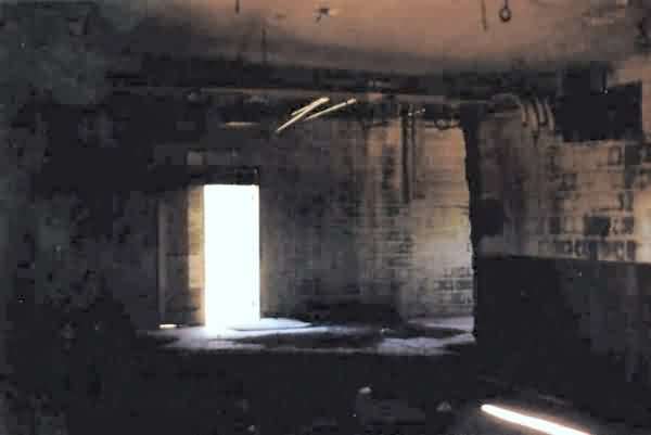
This photo shows the interior of the radar-equipment section as seen from the far northwest corner of the diesel-generator wing. Unfortunately, this photo did not turn out very well. [looking slightly south of due east]
May 2001 photos and notes contributed by Tom Page
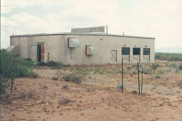
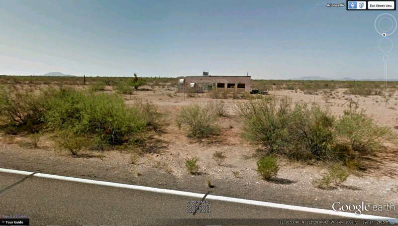
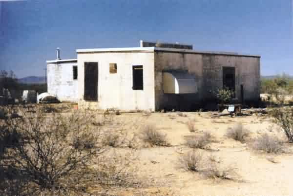
The "front" of the former radar-equipment building, with the diesel-generator wing seen at the right. The site is situated alongside and just south of SR 86, about 12 miles west of town. The facility had pads for four (4) diesel generators. [looking southwest]
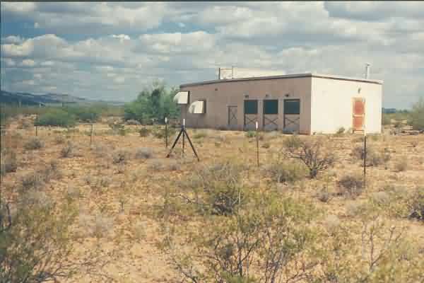
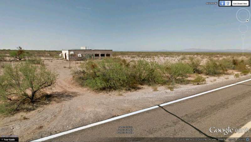
The "front" of the former GFA facility from the diesel-generator end. [looking east-southeast]
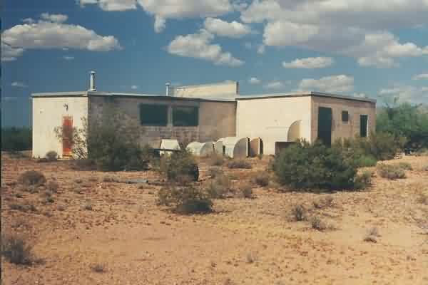
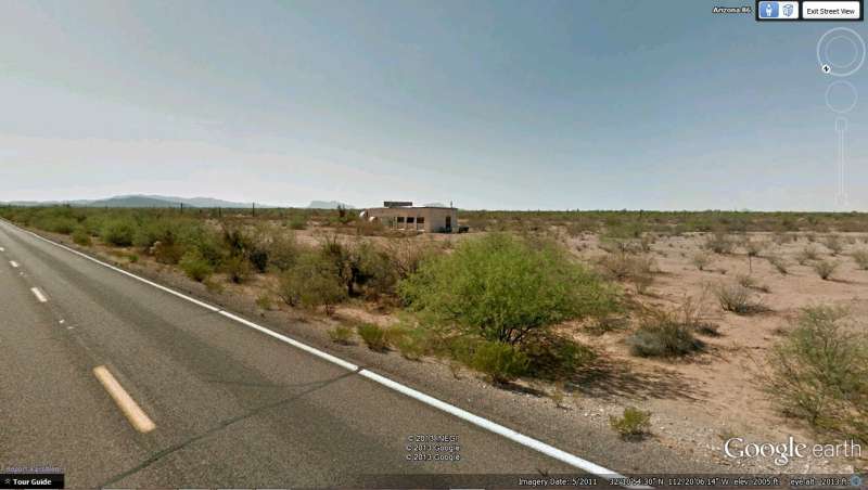
The "rear" of the former radar-equipment building, with the diesel-generator wing seen at the left (west). One radar-tower foundation can be seen (barely) at the right (south). [looking east-northeast]