Continental Divide AFS (Gonzales), NM (LP-7 / P-7)
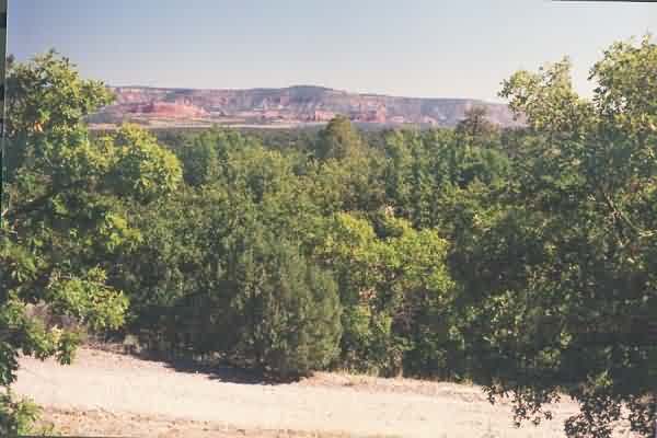
Site - looking South
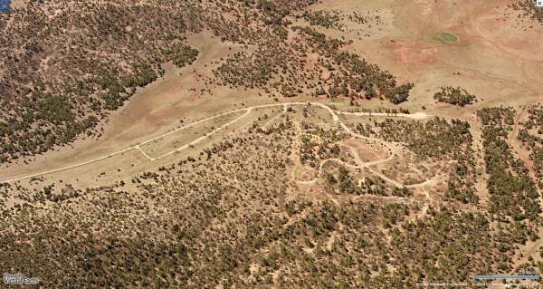
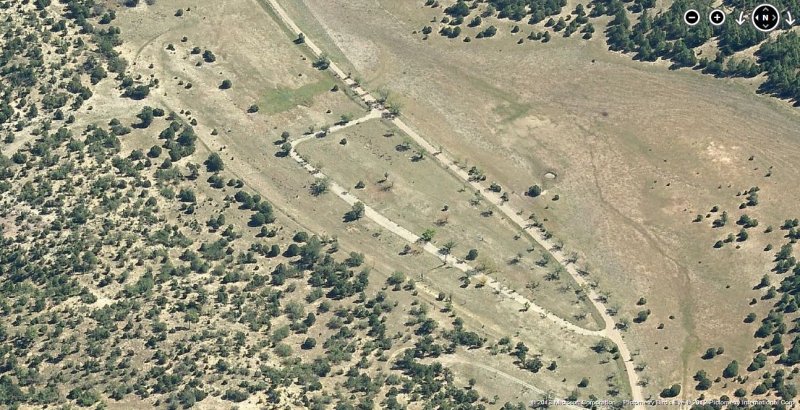
Radar & Cantonment area 2012 image looking East
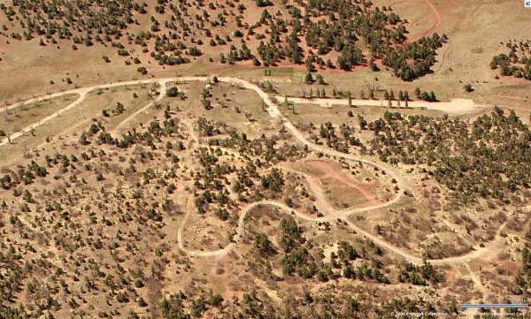
Radar & Cantonment area - looking South
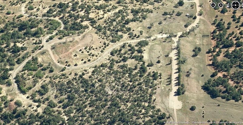
Radar & Cantonment area 2012 image looking West
Housing area 2012 image looking East
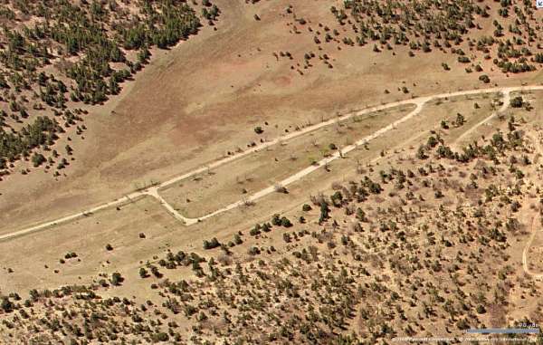
Housing area - looking South
September 2001 photos & notes by Tom Page
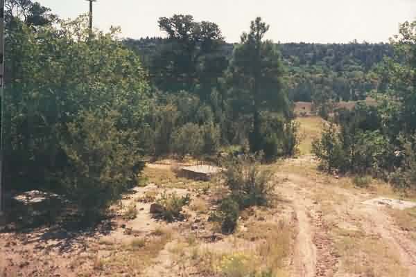
A view of the only remaining radar-tower (?) foundations (maybe used
to support the AN/FPS-5 ? or the AN/FPS-4 ?), situated just east of the two
water tanks. [looking east]
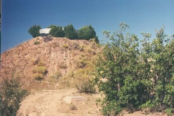
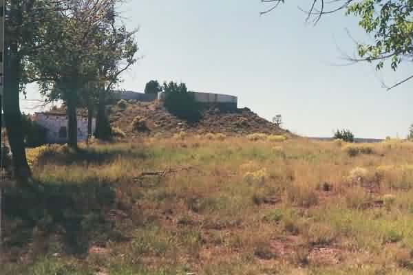
A view of the water tanks, with the only remaining radar-tower (?)
foundations seen in the foreground. [looking west]
Looking from the water tanks across the northern half of the area
that presumably once contained the LRR Operations building, the
diesel-power plant, and the AN/FPS-3 and AN/FPS-6 radar towers. The small
building in the foreground was probably the water-pumping station (?).
[looking north-northwest]
Looking from the water tanks across the southern half of the area
that presumably once contained the LRR Operations building, the
diesel-power plant, and the AN/FPS-3 and AN/FPS-6 radar towers. The
top-camp access road comes up from the left. [looking west-northwest]
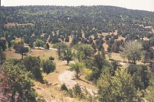
A view of the cantonment area from the top camp. [looking
southeast]
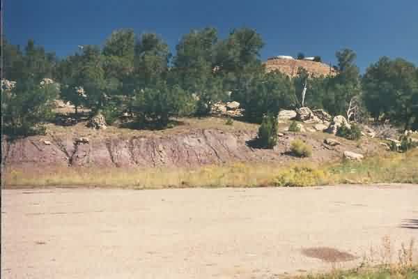
The top-camp area that presumably once contained the LRR Operations
building, the diesel-power plant, and the AN/FPS-3 and AN/FPS-6 radar
towers. The water tanks are seen at the far side (they appear to be from
the original AF Station). [looking south-southeast]
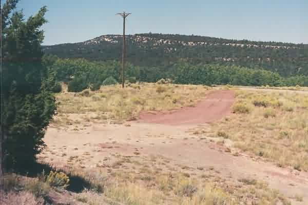
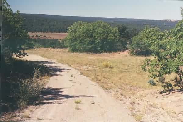
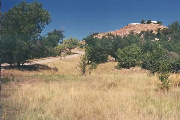
The view from the hill top. The road below probably went to one of
the two radio sites, the one on the northeast side of the tech site.
[looking ~ due north]
The other suspected radio site, the one on the northwest side of the
tech site. [looking southwest]
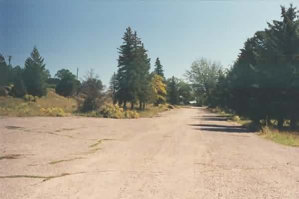
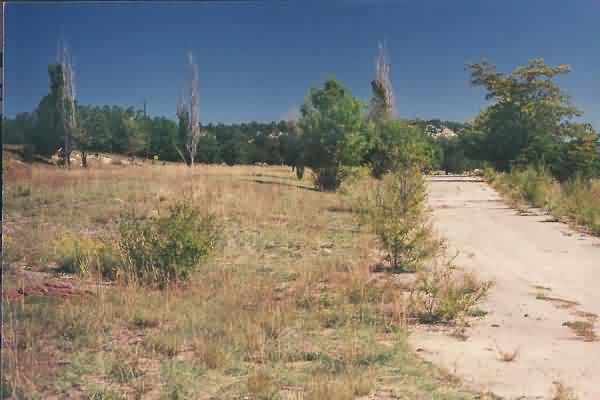
The cantonment area, as seen from the far west end. [looking east]
A view of the water tanks / tech area from near the far west end of
the cantonment area. [looking northeast]
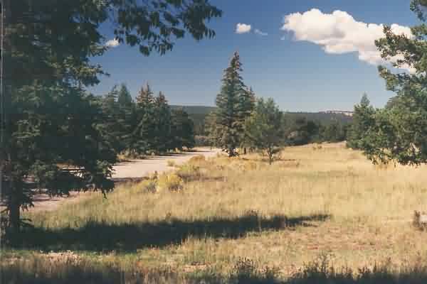
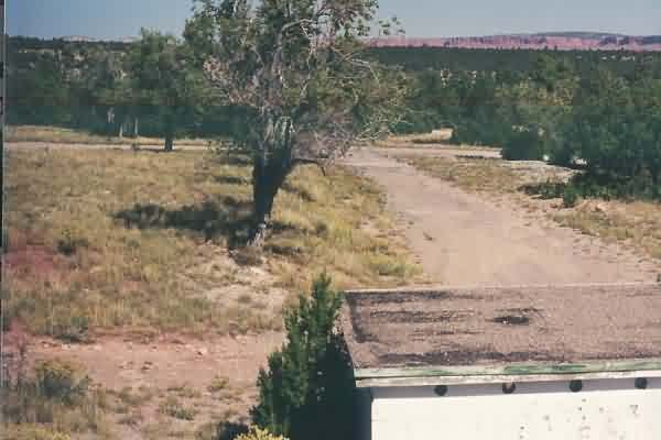
The cantonment area, as seen from the far east end. [looking west]
A view of the water tanks / tech area and the top-camp access road
from near the far east end of the cantonment area. [looking
north-northwest]
The former family-housing area. [looking east-northeast]