Recent Photos of Colville AFS, WA

Source: https://www.youtube.com/watch?v=fwnWpUgUV9I
Warning: Viewing this YouTube drone video may cause air sickness!
-----------------------------------------------------------------------------------------------------------------------------------------------------------------
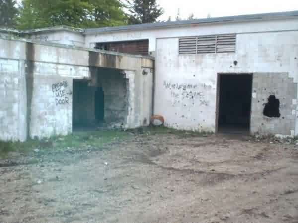
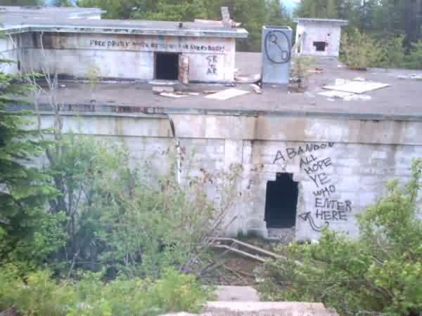
"Dome Paintball Park"

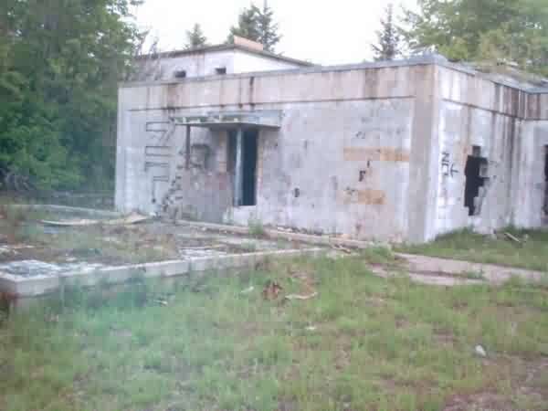
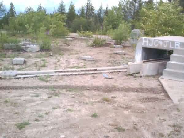
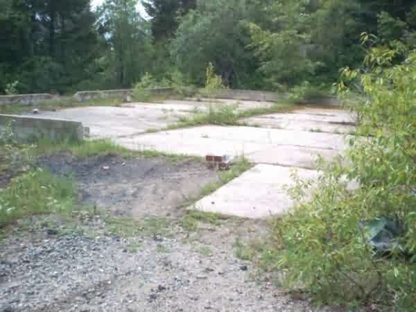
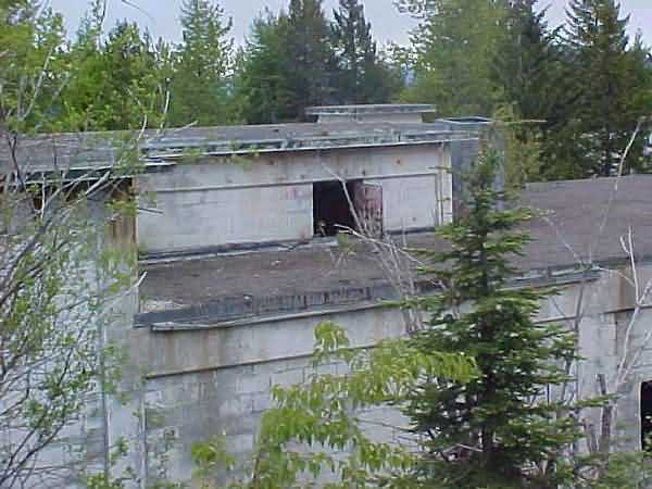
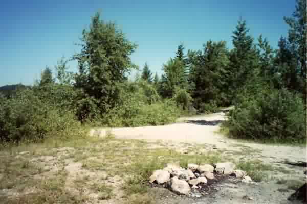
Radar tower foundation
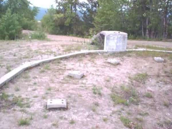
Radar tower foundation
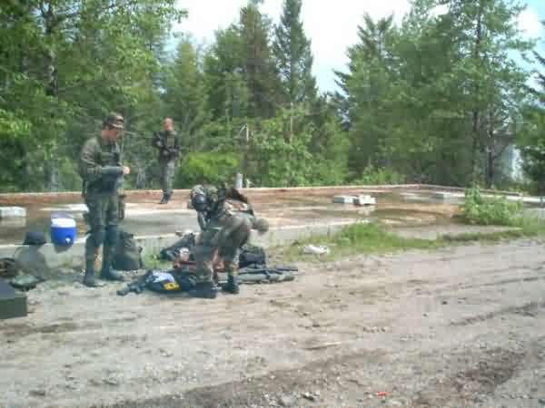
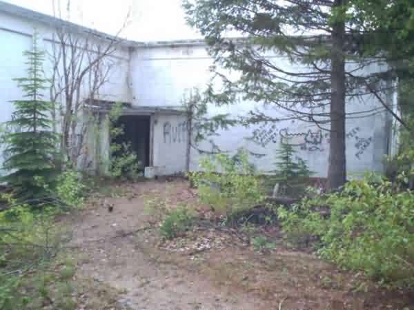
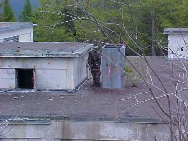
Paintball warriors
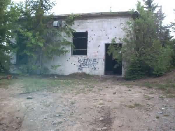
Radio TX or RX
These photos, taken on 6/9/02, come from Game day at The Dome
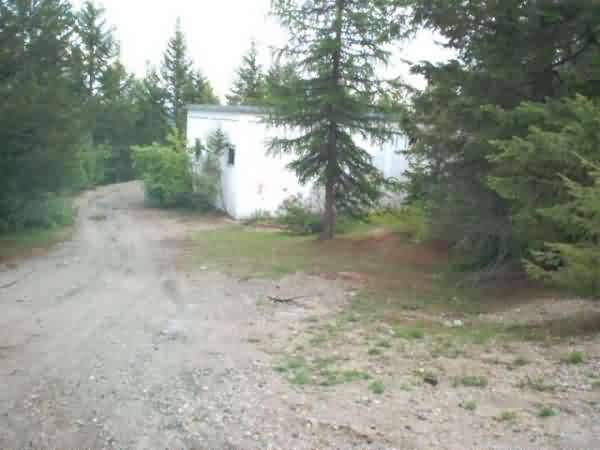
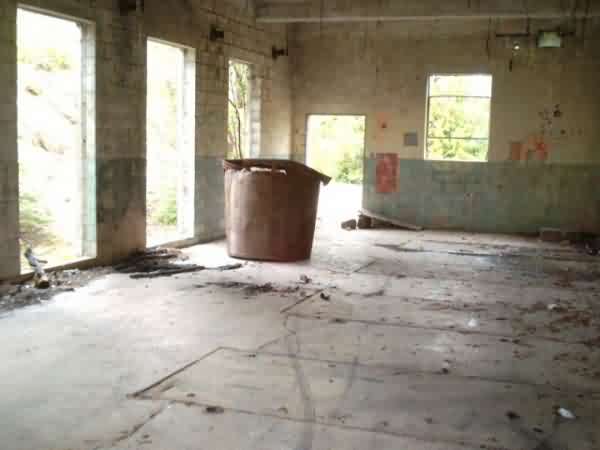
It looks like the old ops building is now a major part of the "Dome Paintball Park"
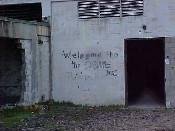
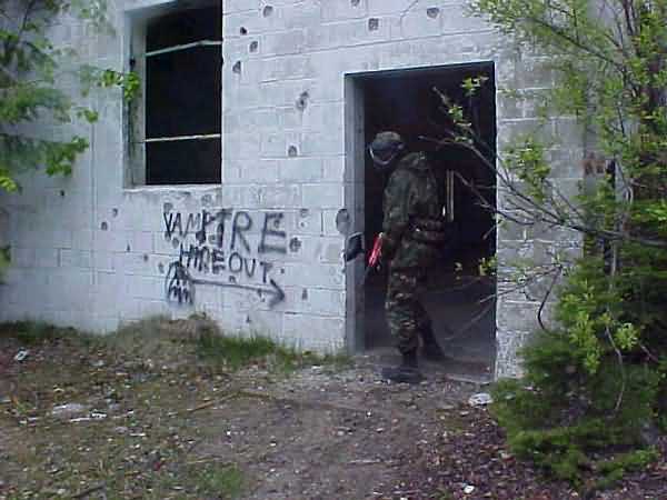
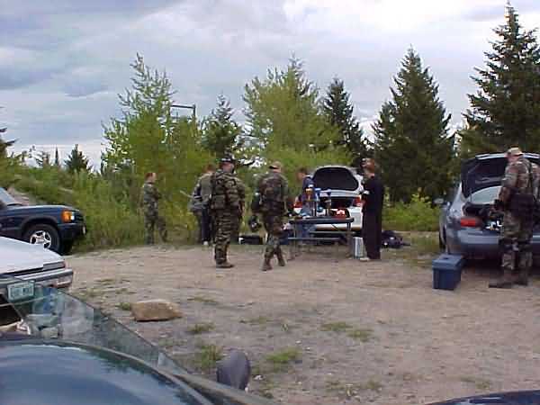
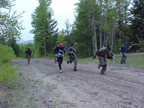
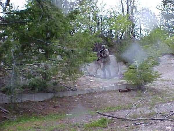
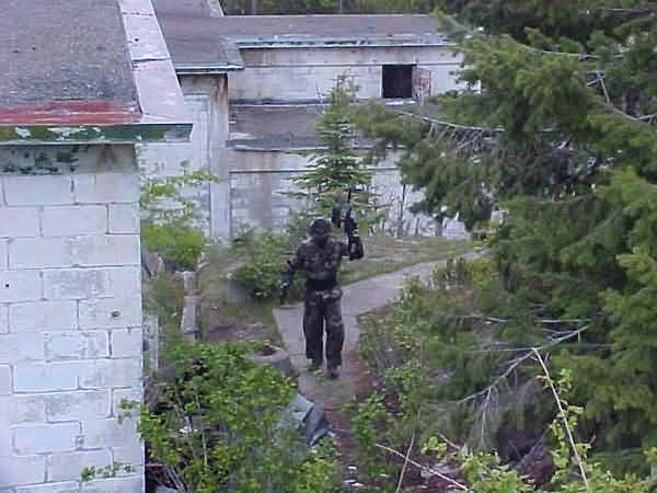
contributed by John Zezinka
This was the housing area just off the main site access road showing only road in the housing area. It is about 0.5 mile below the main site and had about 6-8 housing units if memory serves me. As you can see absolutely nothing is left except the road and some driveways. Every trace of the houses was gone. One of my brother-in-laws paid the state to take out some of the houses. The only way I could tell there were ever any houses there were a couple of trees that were not natural to that area were still growing. The residents must have planted them in their yards.
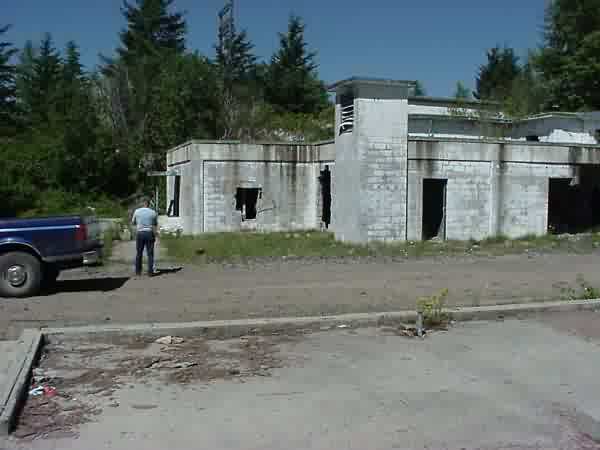
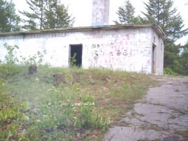
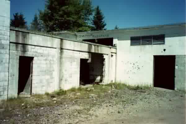
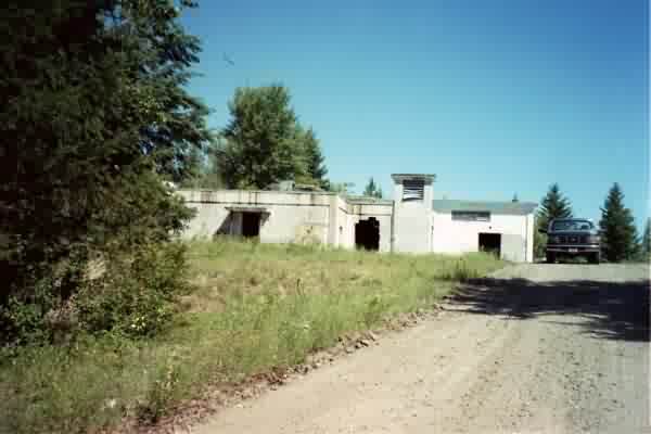
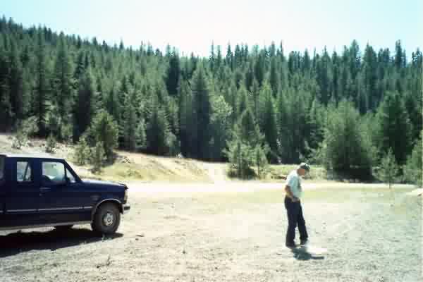
This was the radar operations building. The individual walking is Mr. Neil Geer, one of my brothers-in- law. You can see the overhang at the entrance of the building where the crypto lock access was located. Just behind the truck is the space just across from the ops building entrance which was occupied by the ops training building. Its location is marked only by its remains, a two-inch cement pad. The area is quite overgrown and most of the cement walks gone. In the background is the radio antenna platform.
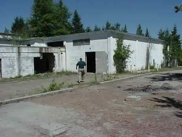
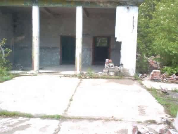
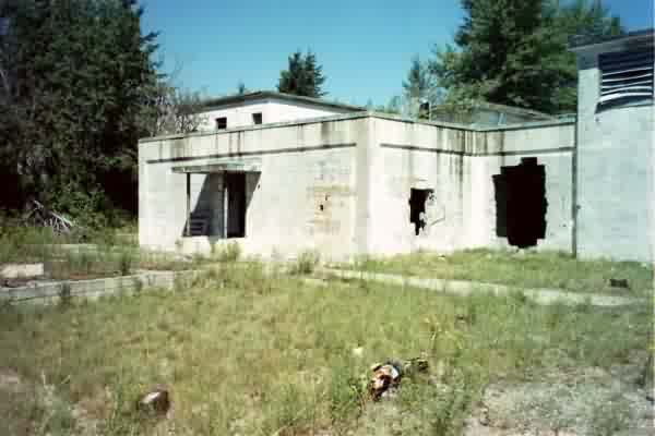
This shot shows more of the ops building shown in the photo above. The photographer (my nephew) took it from the base pad of what used to be the supply building. That rather large gentleman walking away from the camera is me. The road going across the picture from left to right leads around the back of the building and up to the area of the radar bubbles. I can`t say how the holes got in the walls.It might have been the deactivation crew removing equipment or it could have been vandals. From the number of abandoned campfire locations there, I`d say there were a lot of free spirits wondering around up in those woods! As you can see all we have left of the ops building is a shell.
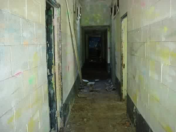
This shot was taken in the main entrance hallway of the ops building. The room on the left is either the switch board or the crypto room (excuse my memory). The hallway was very dark. The digital camera makes it look like a light was on. Take it from me, it was dark! My brother-in-law cleared the area of bears before I got there! The room on the right was (I think) an office/training room and general maintenance hangout. The light at the end of the tunnel, so to speak, was the operations room itself. There is no equipment, furniture or fixtures left in it.
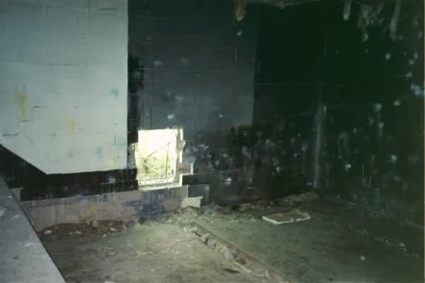
This was the ops room, the center of activity for a site. I`m taking the shot from about where I worked the on the dais at the "Ops B" position which was basically an assistant to the senior director. Note the cable troughs which supplied the surveillance/height scopes that were down on the floor. The walls were black to reduce scope and plotting board glare. The plotting board was mounted against the back wall.
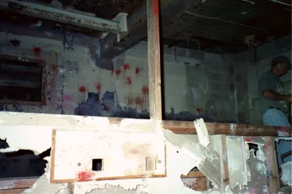
This was the Intercept Control Dais. It was surrounded by glass. Up there the controllers and their techs sat at their scopes and actually conducted the intercepts on those aircraft designated by the Senior Director. At the lower right was the ID section which kept tabs on all air the traffic through the area. When I first got there, ID was actually taking calls from local Ground Observer Posts. Gosh, that`s WWII stuff! The gentleman on the right is my nephew Mr. Ray Bennett. Please don`t ask why those walls are not black! They were at one time.
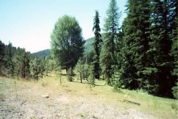
One of the radar domes once occupied this site. It was at the very top and looking south toward the hill access road. I believe there were three bubbles at one time. Two were height finders and one was a search radar.
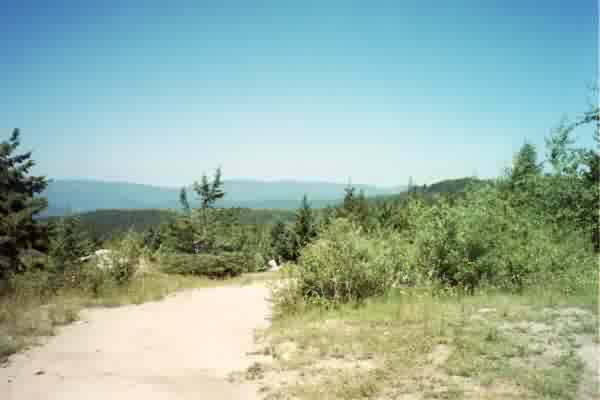
I just about stood in place from the above shot and rotated about 160 degrees so this would be at the top looking NNW. As you can see, campers have been here and it is very overgrown. I remember that years ago the night sky used to provide a great show up there. It must be great camping up there (in the summer).
This is a shot from the road just about where the barracks used to be. It is looking down onto what was once the PX/Rec hall and parking lot. The remains of the buildings have been completely removed, but they can never change the sky line. I woke up to that mountain view many times.
I turned about 170 degrees from the last shot. This is looking across the main road to where the Administrative/Headquarters, Officers Club and BOQ were located.