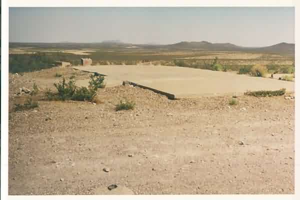
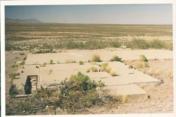
All that’s left of the radar-equipment building is the building’s concrete pad. The diesel-generator wing was to the far right (south), and the radar tower stood to the left (east). [looking east-southeast]
The radar site is located on a small hill about 500’ south of SR 9, roughly 7 or 8 miles west of Columbus, NM. Except for the building’s concrete pad, the three radar-tower foundations, and the fuel-tank supports, the facility is no longer extant.
All that’s left of the radar-equipment building is the building’s concrete pad. The diesel-generator wing was to the far right (south), and the radar tower stood to the left (east). [looking east-southeast]
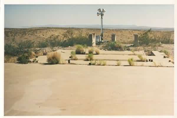
The diesel-generator wing and fuel-tank supports; two generators were provided for. The flood lights are no doubt owned by the US Border Patrol — the US-Mexico international border is only about four miles to the south. [looking south]
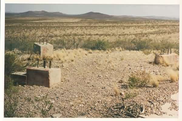
The three radar-tower foundations at the east end of the GFA building. The smaller concrete block on the far left was *probably* the landing for the tower steps. [looking southeast]
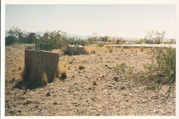
Another view of the GFA facility, looking west-southwest.
A view of the facility from on top of the fuel-tank supports, looking north towards SR 9. The diesel-generator wing is seen in the foreground.
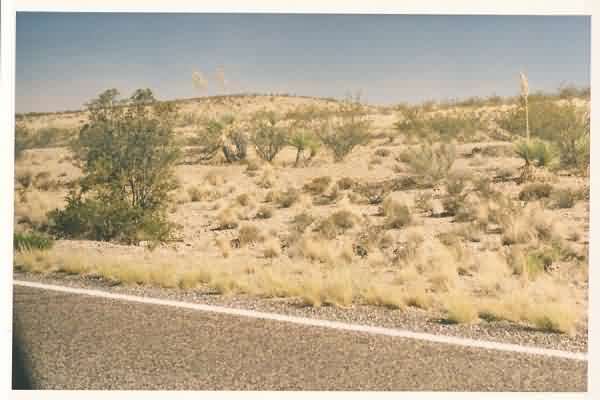
The hill where the Columbus, NM, gap-filler radar annex was located, as seen from SR 9. [looking southeast]