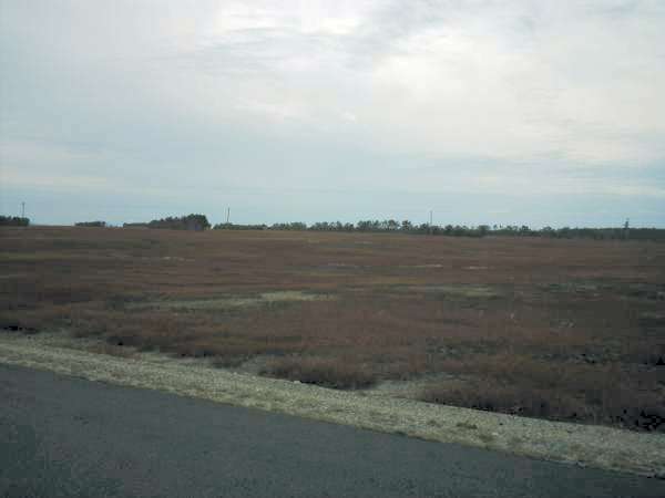
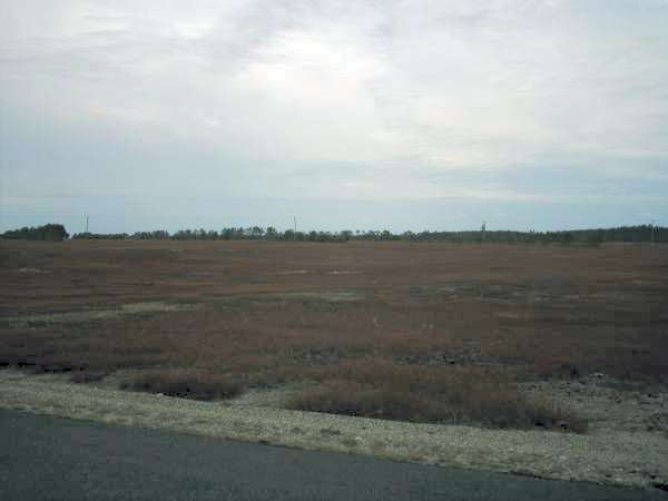
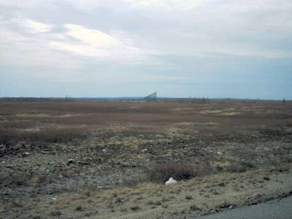
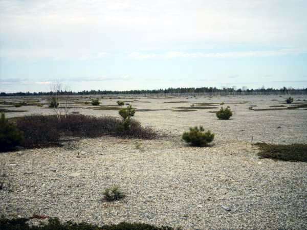
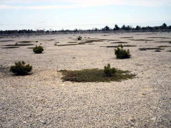
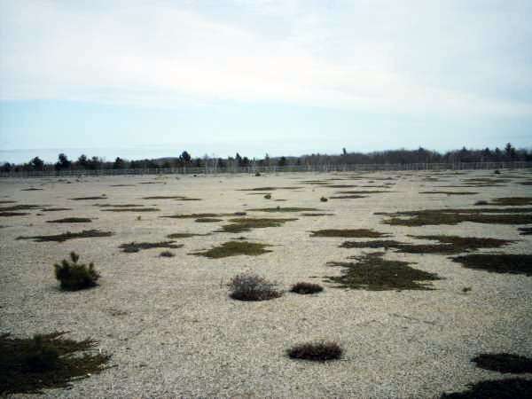
01 & 02: The blueberry fields on the way in are huge and flat. There were several rows of pine trees that were probably a half mile to a mile long each and just as straight as an arrow. I assume that they are wind breaks or snow breaks of some kind.

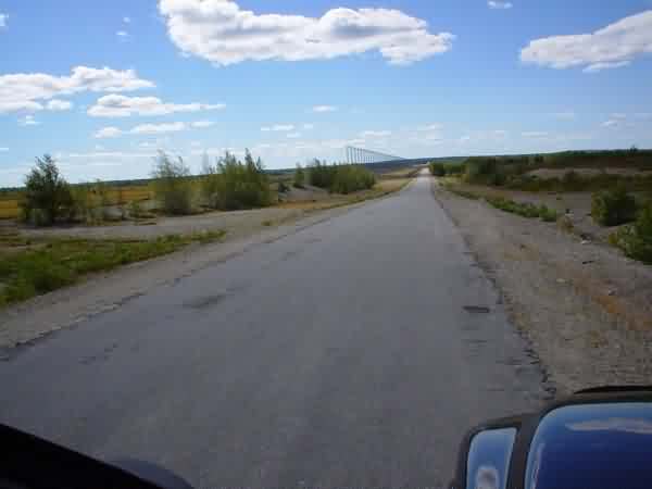
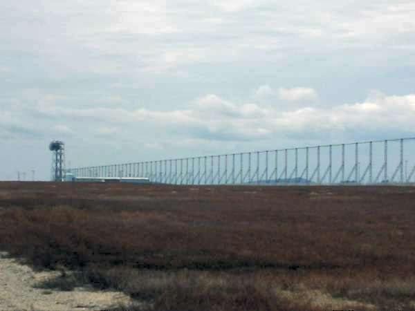
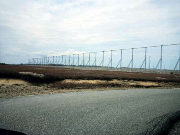
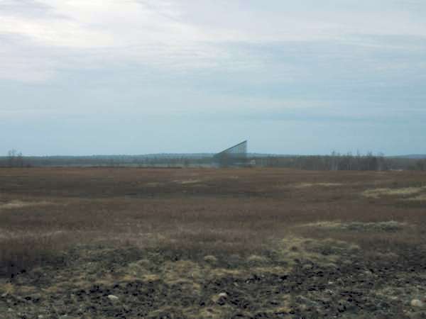
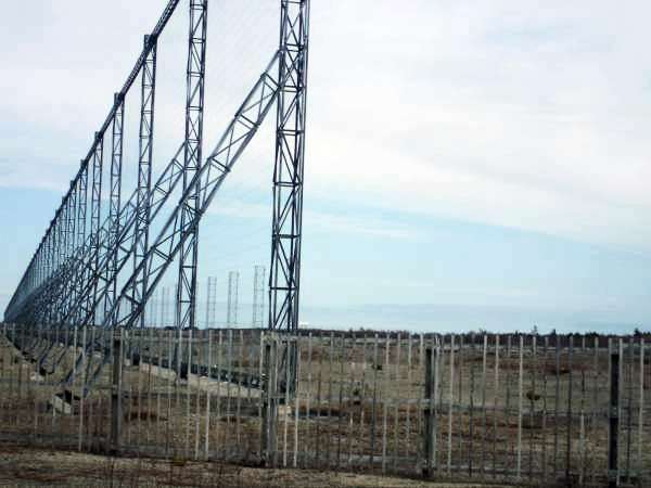
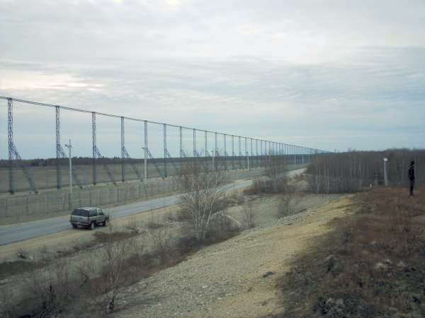
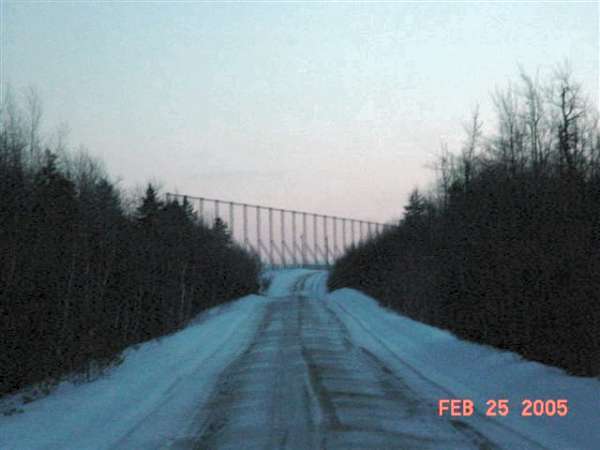
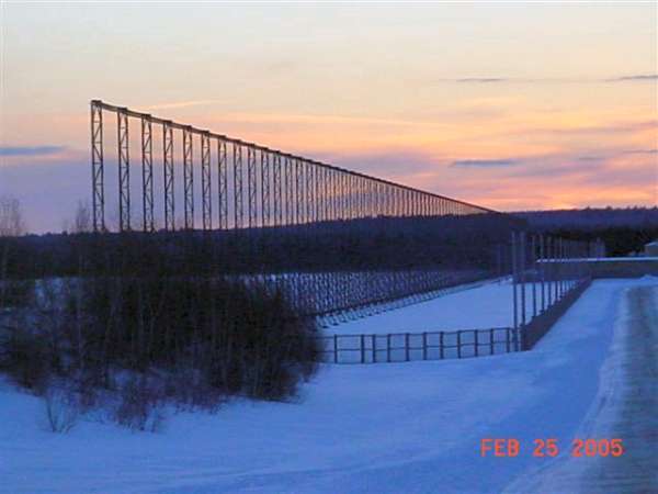
03: As large as the facility and the antenna arrays are, you can’t see anything until you’re right on top of them. The road goes through a short stretch of woods and then you come up a small hill and you’re staring at 5000 feet of steel in the middle of a blueberry field.


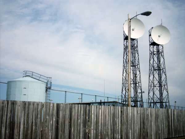
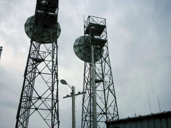
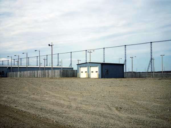
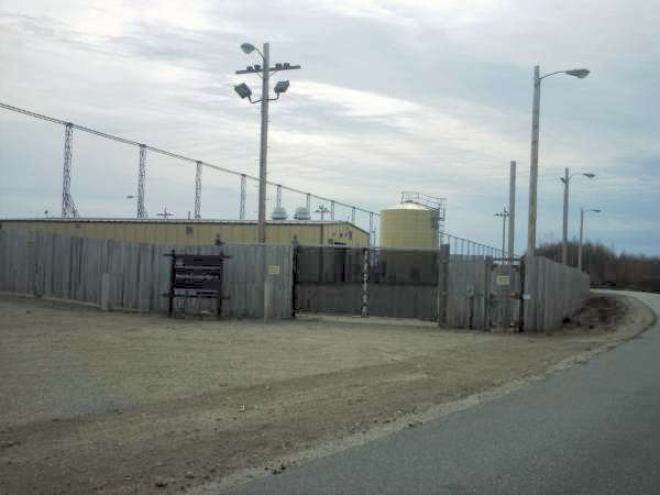
04 – 07: The main building has two large microwave towers that used to relay information to the ANG Base in Bangor.


08 & 09: Sign with Tactical Air Command decal still in place.

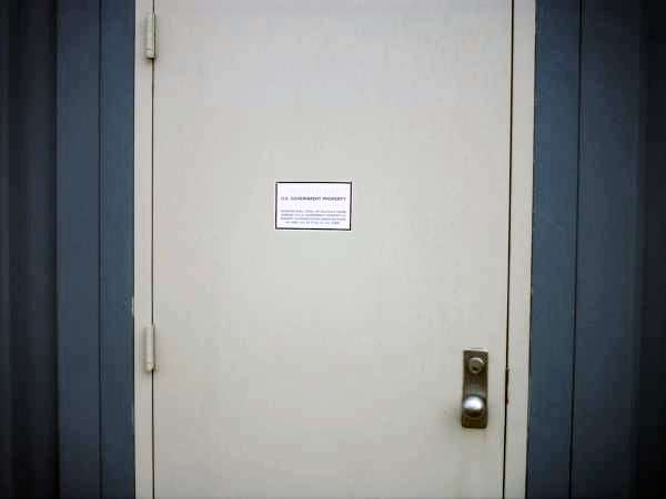
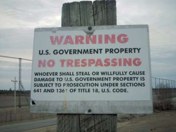
10: Warning sign on the door to the main building. All of the windows were tinted and had two layers of wire mesh, making it nearly impossible to see in. I could see a couple of desks and a coffee maker inside. Everything looked bare.
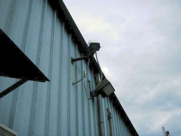
11: This camera was over the door to the main building.
12: It’s hard to see in this picture, but on the taller of the two wooden poles, there’s an airplane weathervane.
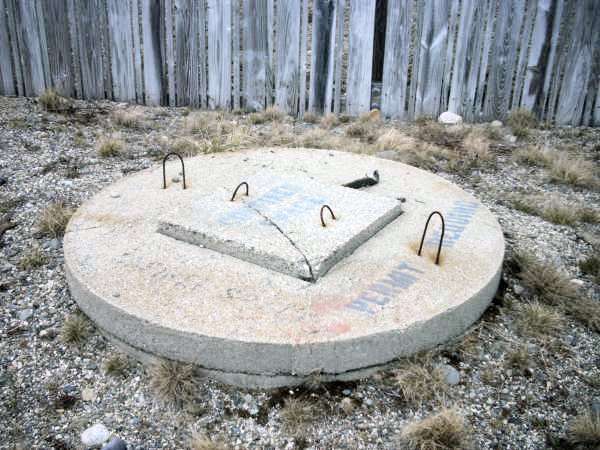
13: Septic tank. Behind each of the locked gated areas there was a fire hydrant. Obviously there’s no city water or sewer out here so the hydrants probably just feed from a well.


14 – 16: I was able to stick my camera through some slats in the fence and take these pictures on the inside. There is still electricity on site as the large transformers behind the concrete wall are still humming away.
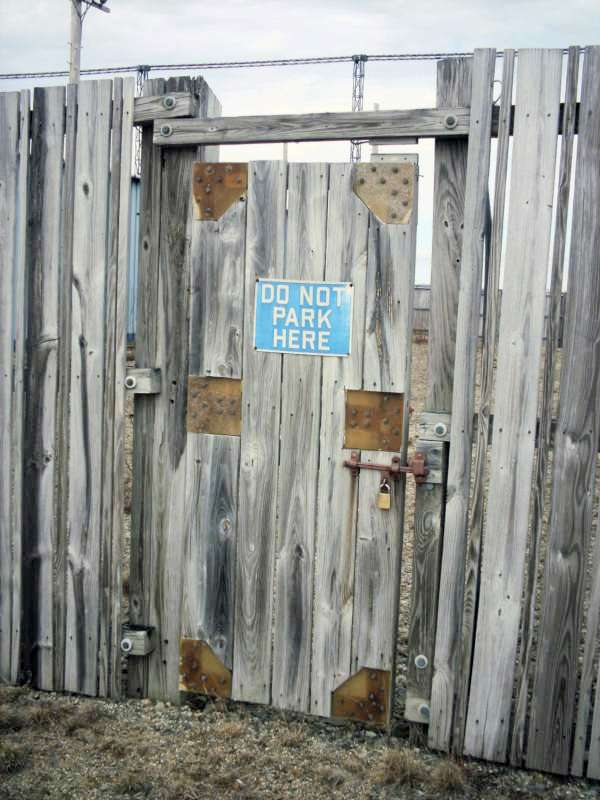
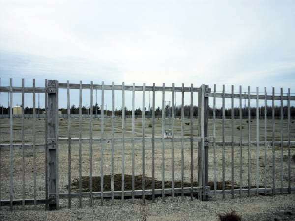
17: This fenced in area filled the gap between the main building and the garage. The gate had a brand new padlock on it and it also had a lock-in/lock-out setup so you could lock the gate behind you if you went in.
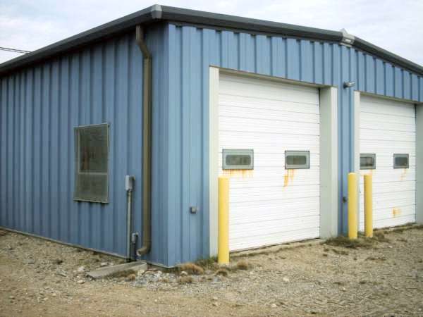
18 & 19: Maintenance garage.
20: Garage door with the obligatory “don’t mess with anything or you’re going to Leavenworth” decal.
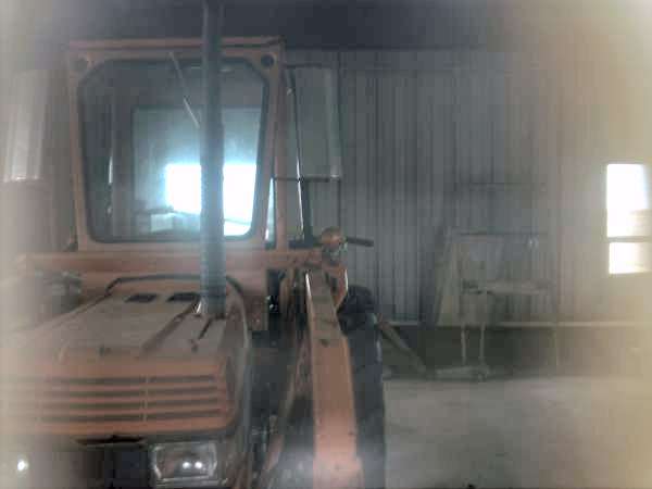
21: The garage only had one layer of mesh on the windows so it was much easier to see in. There was a Kubota tractor in there and a couple of attachments. The gravel shoulders and parking lots were all very well maintained using this machine. There was also a 12 pack of Bud Light in the garage (not pictured).
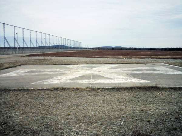
22: Helipad. Lots of broken Budweiser bottles here.

23: Just to give an idea of scale, this picture shows my Tahoe in front of the two microwave towers.
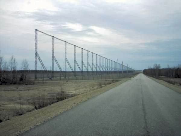
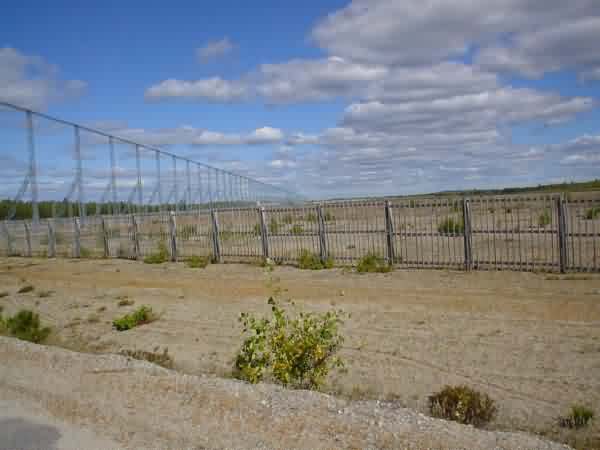
24 – 27: Pictures leading into the second array. Notice the smooth pavement and nicely groomed shoulders in 27.
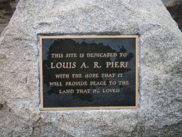
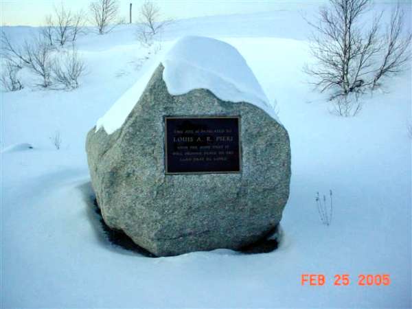
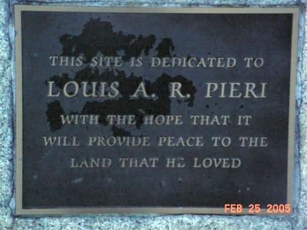
28: Plaque honoring Louis A R Pieri. Google says he’s a Canadian that, after graduating from Brown, managed and later took ownership of the Providence Reds hockey team. There is an AHL coaching award named after him now. I don’t know what his tie is to this area.
29: This is the second building in the complex. The buildings at array two and three are identical.
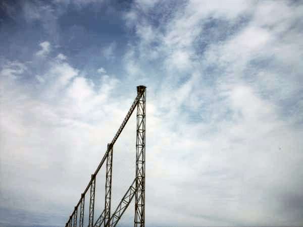
30 & 31: These were taken from the far corner of array 2 looking back at the first array. Next to closest upright, you can just make out the microwave dishes.
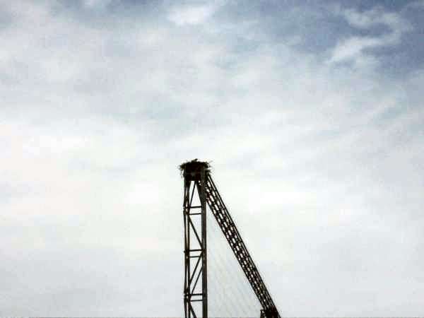
32 & 33: Nature seems to take no offense to the presence of three large radar receivers out here. This nest belongs to a very large osprey that swooped around the whole time my friend and I were parked here.


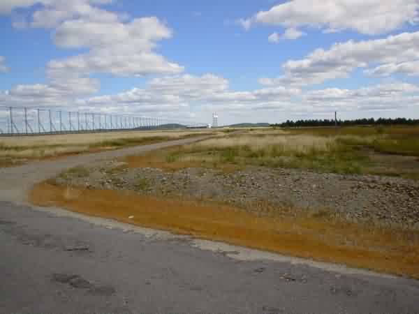
34 & 35: The road turns to bad pavement and then to dirt between arrays 2 and 3.

36: This is the third building. It appears to be identical to the building at the second array.

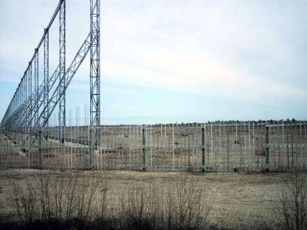
37: Looking down the length of the third array.
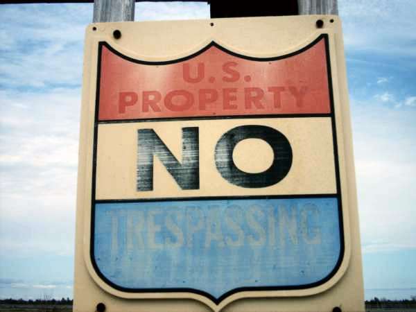
38: These signs were posted liberally on all of the fences, although I’d say they’ve seen better days.
39 – 41: The ground was covered with eight to ten foot square sections of wire mesh. I think this was just to prevent vegetation from growing up through.

42: This is my friend, Andrew, standing at the end of the third array. It really gives you an idea how large these receivers are.

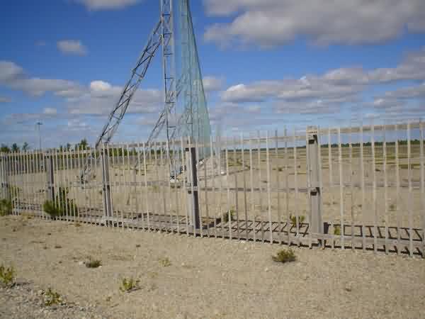
43 & 44: There was a smaller antenna in front of each of the large arrays.
45: These signs were staked in the ground at the edge of the blueberry fields that surround the complex.

46 & 47: Another couple of shots that illustrate the sheer magnitude of this complex: my Tahoe parked by the Louis Pieri plaque next to the second receiver array.
February 2005 photos contributed by Harold Nelson
2002 photos contributed by Jack Gray
Jack writes:
"Hard to imagine, but the government paved the road to the site up over the barrens the year they announced they were closing it. 8 or 10 miles of great paved road in the middle of [nowhere]!!"