Recent Photos of Chandler AFS, MN
-----------------------------------------------------------------------------------------------------------------------------------------------------------------------
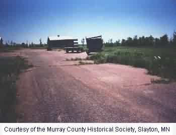
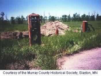
The following thirteen photos of the former Chandler AFS were all taken on 28 June 2016 by Tom Page. Except for the GATR building, there is very little to see now. At the main site, only the perimeter fence and the foundations of the AN/FPS-27 search radar tower and the AN/FPS-26 height-finder radar tower remain (along with some rubble). All buildings and other structures have been removed. A wheatfield and a commercial radio facility now occupy the main site. The GATR site (located about a mile and a quarter to the southeast) is also in use as a commercial radio facility. The 21-unit family housing area was located not far to the north of the main site, but was completely removed years ago; no trace of it remains today.
. . . . . .

This view is from the approximate center of the main site, looking to the southwest.

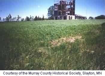
This view is from the approximate center of the main site, looking to the northwest. The AN/FPS-27 search radar tower once stood in the distant center where that clump of trees is.
This view is from the approximate center of the main site, looking to the north-northeast. The AN/FPS-26 height-finder radar tower once stood in the distant left (just to the right of the harvester).
This rubble pile is the remains of the AN/FPS-27 search radar tower (plus some other junk). The view is looking west.
This is another view of the remains of the AN/FPS-27 search radar tower. What looks like plumbing is actually the
radar antenna support column (lying on the ground in front of the trees). The view is looking southeast.
This concrete structure is the base of the AN/FPS-26 height-finder radar tower. The view is looking east-southeast.
This is another view of the remains of the AN/FPS-26 height-finder radar tower. The view is looking west-northwest.
This is a long-distant view of the GATR Site, as seen from the approximate center of the main site (looking southeast). The GATR building is where those radio towers stand, just left of the water tower.
. . . . . .

This is the access road for the GATR Site. The GATR building itself is seen at the top of the hill on the right. Some original fencing remains, mostly at the site entrance. The view up the access road is looking west.
This is a close-up view of the the GATR building, showing its east side and south end. The view is to the northeast (looking towards the main site -- that tall radio tower on the extreme right in the far distance is the one at the main site).
This is a close-up view of the the GATR building, showing its west side and south end. The view is to the north.
This final photo is another close-up view of the GATR building, showing its east side and north end. The view is to the south.
. . . . . .
-----------------------------------------------------------------------------------------------------------------------------------------------------------------------