

Contributed by Tom Page
Tom writes:
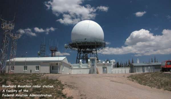
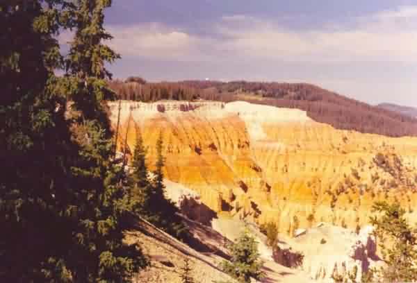
A 3-day driving tour of southern Utah`s US National Parks and National Monuments took us right by the FAA`s long-range radar site (and former USAF joint-use radar site) near Cedar City. The radar facility is situated east of town,atop Blowhard Mountain, just south of Cedar Breaks National Monument. Other communication facilities and a weather NEXRAD radar tower share the mountain top. The views are spectacular on clear days,and this particular day(07-05-2002)was clear and sunny with almost unlimited visibility.
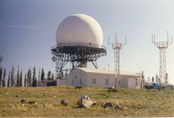
This view is from the south side. [looking north]
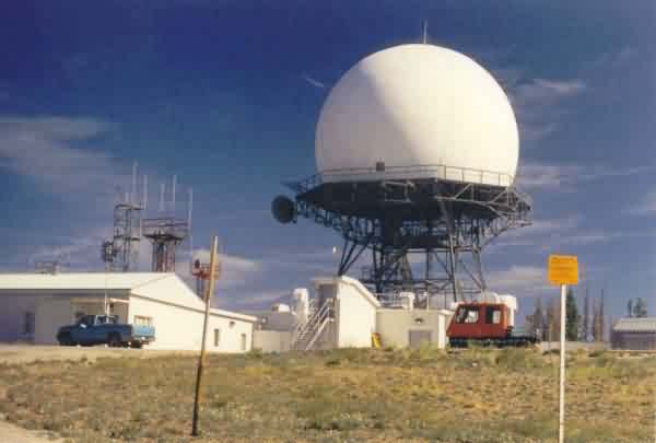
This view is from the southwest side. [looking north-northeast]
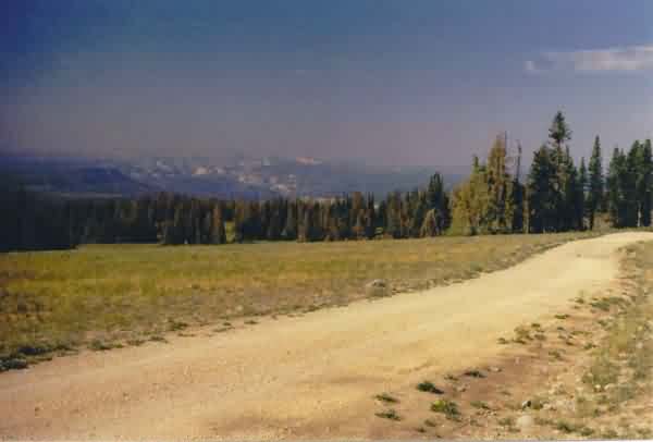
This is the view from Blowhard Mountain looking south. Zion National Park is seen in the distance.
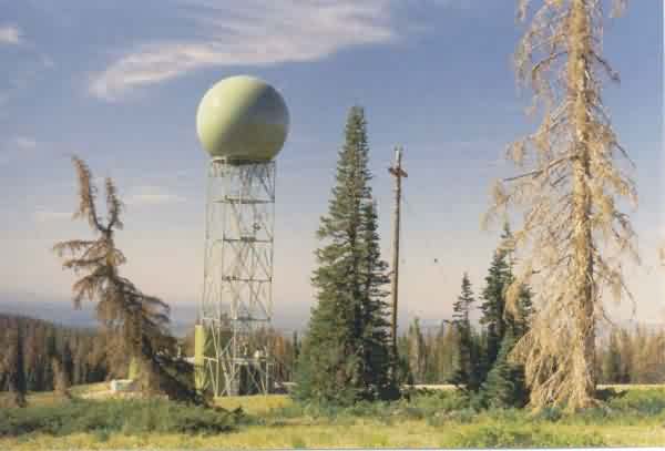
This view shows the NEXRAD weather radar tower that stands just south-southeast of the FAA`s long-range radar facility. What I found interesting was the fact that the weather radarfacility and the radome were painted an olive-green color, obviously to blend in with the natural scenery. [looking south]
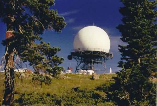
This is a view of the Cedar City long-range radar facility as seen from Cedar Breaks National Monument (Sunset Overlook). [looking south]