Recent Photos of Carrabelle GFA, FL
The following seven photos contributed by Scott Murdock
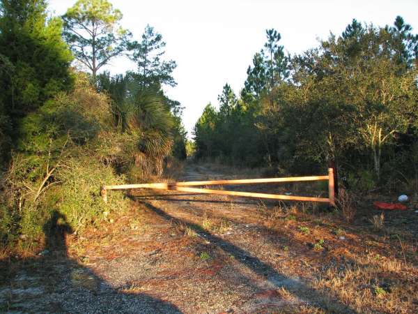
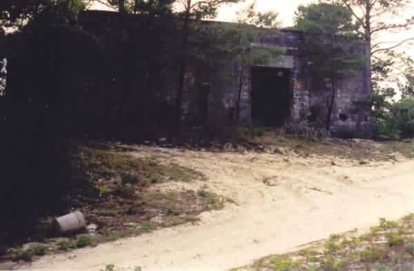
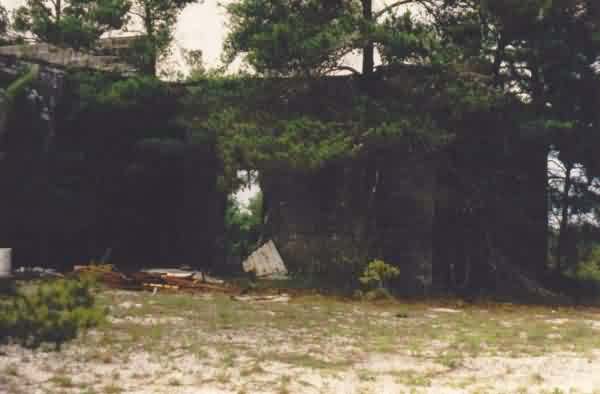
The access road
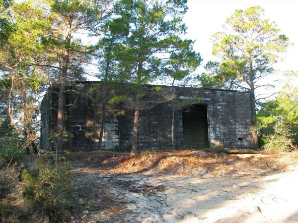
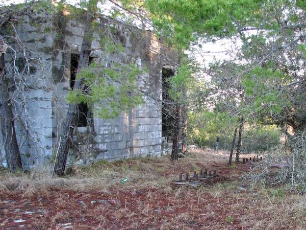
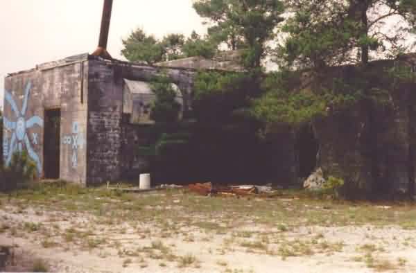
Radar building
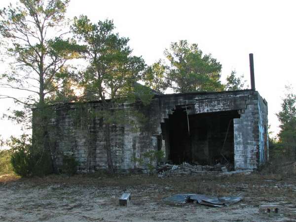
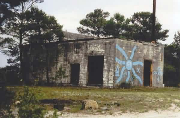
Radar building
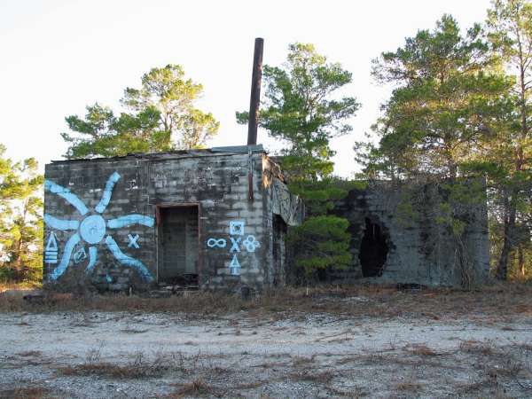
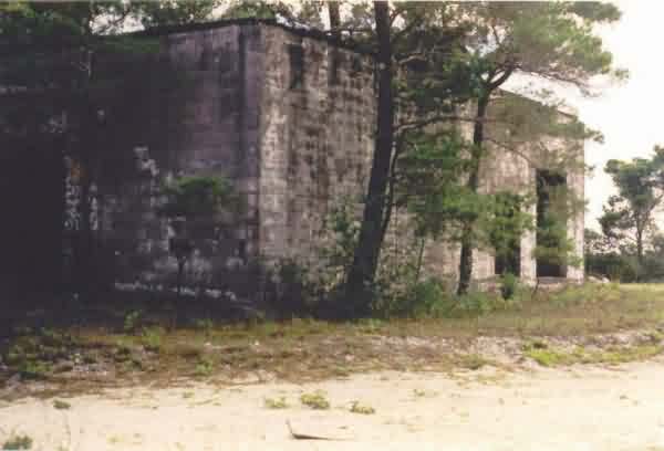
Radar building
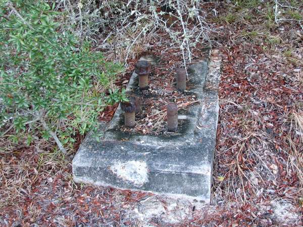
Fuel tank supports
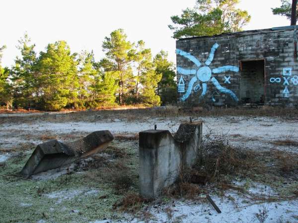
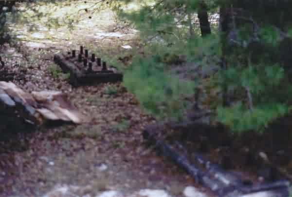
Tower footings
One of the radar tower footings
The following seven photos contributed by Scott Murdock
The access road
Radar building
Radar building
Radar building
Fuel tank supports
Tower footings
One of the radar tower footings
May, 2003 photos by Tom Page The Carrabelle Gap-Filler Annex is located roughly 3 miles east of town, accessed from US Rte 98. The radar site is situated atop a large sand hill. The building is mostly intact, but in disrepair; it appears to be vacant.
This view shows the "front," or radar-equipment section, of the building. The access road is seen in the foreground. [looking west]
This photo shows the "rear" of the radar-equipment section of the building, with the diesel-generator wing on the far left. [looking northeast]
This view shows the diesel-generator wing on the left and the radar-equipment section on the right. [looking north]
This photo shows the diesel-generator wing from the north side. The access road comes in from the far left. [looking east-southeast]
This photo shows the north corner of the gap-filler radar facility, with the radar-equipment section of the building to the left, and the diesel-generator wing on the right. [looking south]
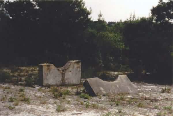
This shows two of the three radar-tower foundations / footings. All three are still extant. [looking southwest]
This shows two of the remaining fuel tank supports. [looking southwest]
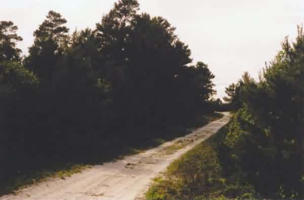
This final photo shows the access road, looking uphill toward the radar site. This is roughly the same view as that seen in the vintage photo … only the trees are much taller now, and the chain-link fence is now gone. [looking west-northwest]