Recent Photos of Bridgeboro, GA GFA
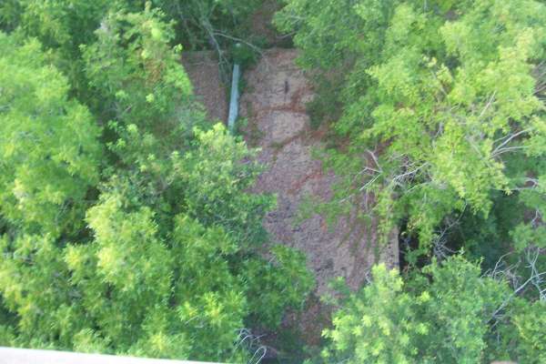
circa 2019 aerial image, courtesy of Google

.
---------------------------------------------------------------------------------------------------------------------------------------------------------------------------
.
Courtesy of UGA SIRP, https://mobile.twitter.com/striplingpark/status/1124092450463715329
.

.
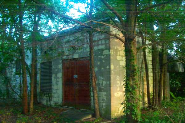
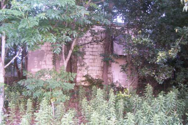
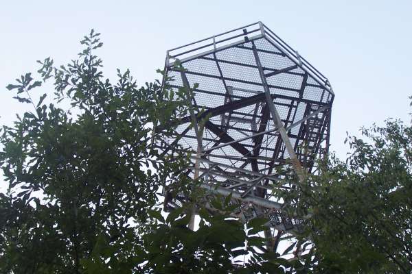
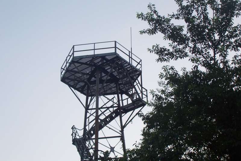
2012 photos contributed by Scott Murdock
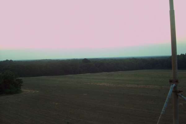
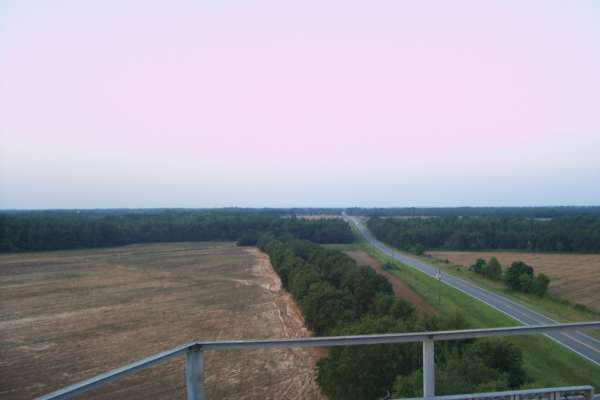
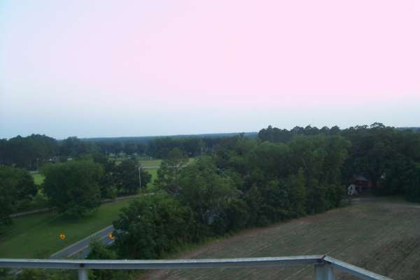
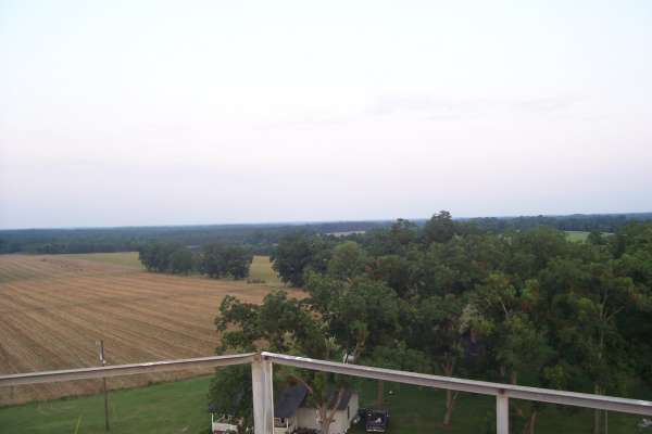
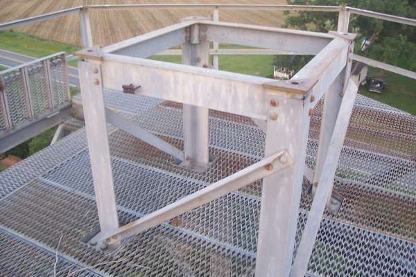
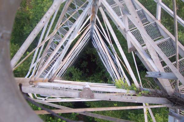
2009 Photos contributed by Al Dennis
Al writes:
Took pics from top and other places. Gate was locked, but easily jumped. Bldg was securely locked with fancy lock. Wonder what is inside. Talked to several people and could not find out who owner is.
Talked to a man who lived across the road when he was younger and site was active. Didn`t every talk with AF Guys he said, but liked to watch Ant go round and round.
Talked to a lady who said it was "common knowledge" that if you wanted to have sex with your boyfriend, he would be temporarily sterile if he stood about a 1/4 mile from site for 30 minutes. Said she never got pregnant, but she knew several girls who did and their boyfriend did not stand in the correct place.
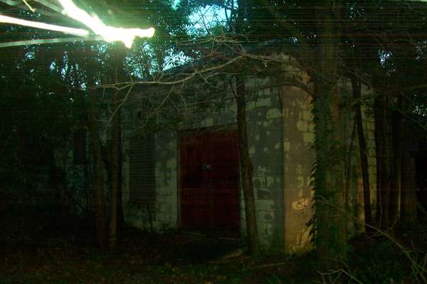
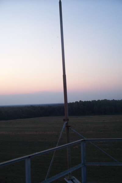
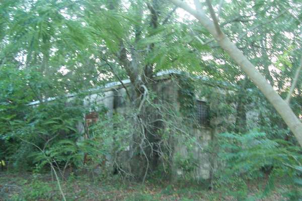
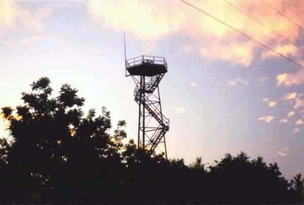
May, 2003 photos by Tom Page
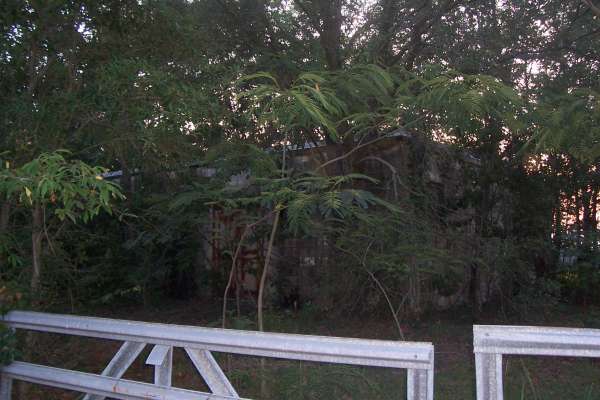
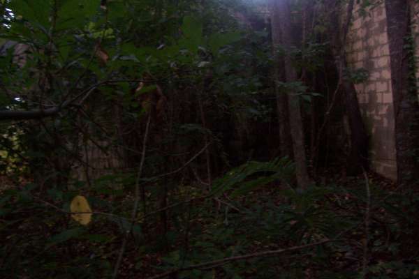
The time of day was late afternoon / early evening, just after sunset, when I finally located the former Bridgeboro Gap-Filler Radar Annex. Due to the fading sunlight and the dense underbrush and trees, I was not able to get any good photos of the radar building. Photos of the old radar tower was the best I could do under the circumstances.
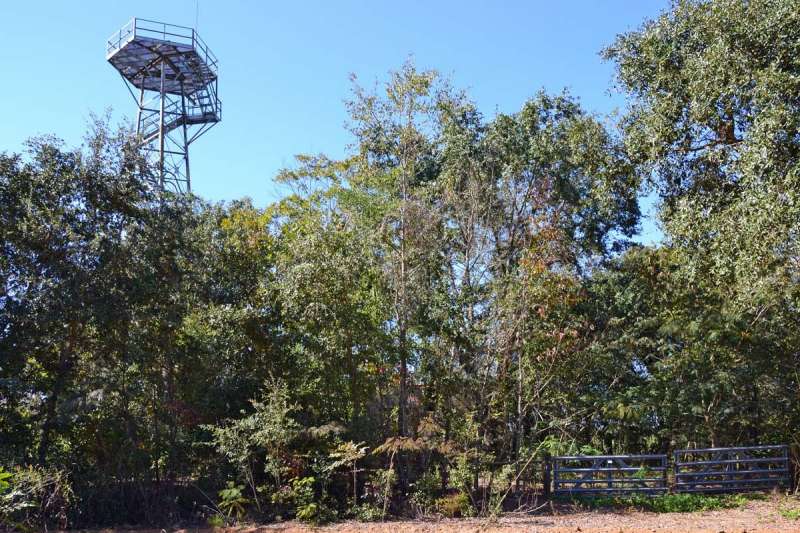
This photo shows the former radar site from SR 112 just north of its intersection with SR 133. Had the radar tower not still been extant, I am sure I would have missed the site completely. [looking north]
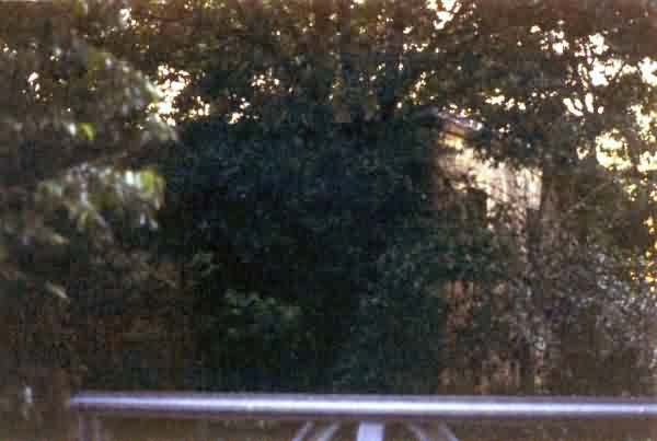
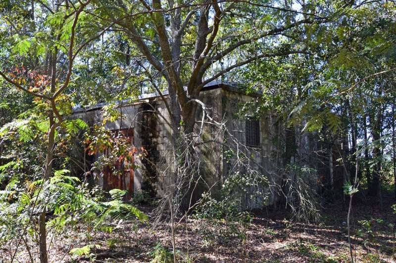
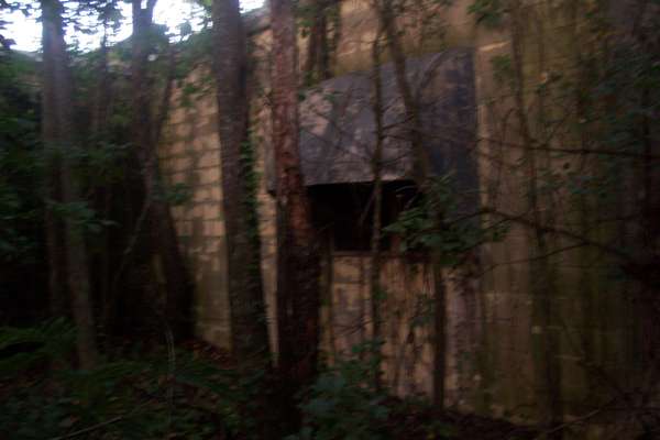
This photo, taken from the site entrance gate, was about the only view of the building possible given the dense foliage and the fading daylight. This is the northeast corner of the building; the radar-equipment section extends to the left (southwest), and the diesel-generator section extends to the right (northwest). The present-day gate is seen in the foreground. [looking west]
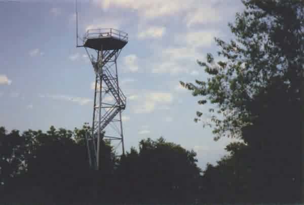
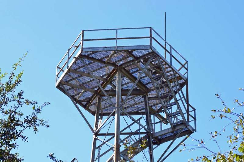
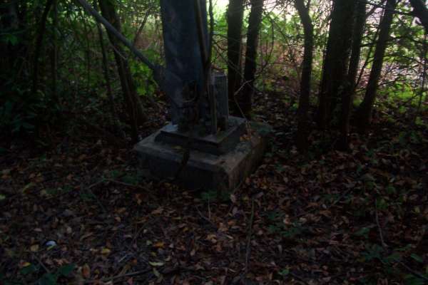
This is another view of the site -- mainly just the radar tower. This photo was taken near the farmer`s fence, south of the site, next to the dirt road that branches off of SR 112. [looking north-northeast]
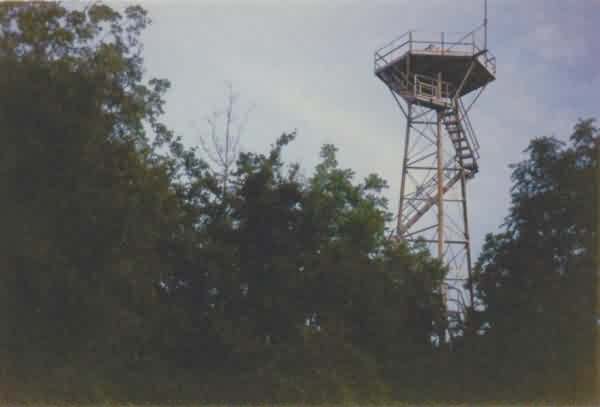
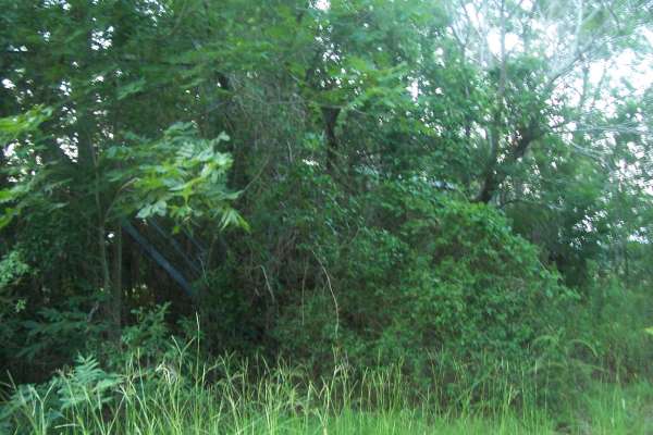
This final photo, again showing mainly just the radar tower, was taken from a point just west of the site. [looking southeast]