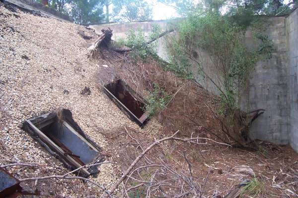
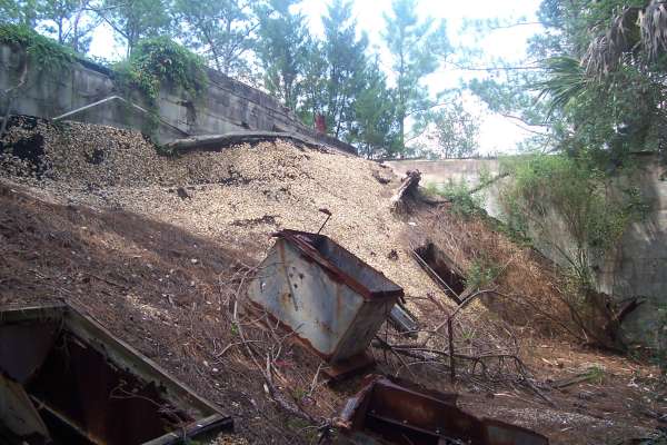
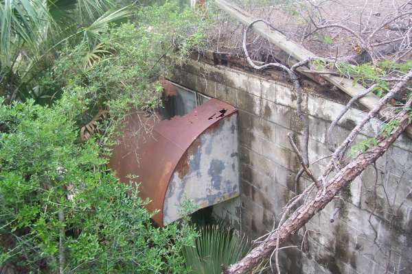
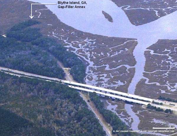
Blythe Island, GA GFA Recent Photos
The following 2009 photos contributed by Al Dennis
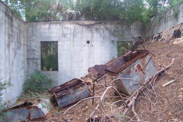
Looking West
May 2001 photos and notes contributed by Tom Page
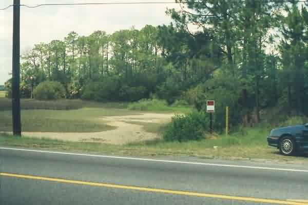
The access road, or what`s left of it. The road leading to the GFA site begins about where my car is parked. The site (hidden by the trees and underbrush) is near the center of the photo in the distance. The road in the foreground is the Blythe Island Highway. The area was once part of a US Naval Reserve. [looking west-northwest]

The access road, now reduced to a narrow path by the encroaching vegetation. The GFA building is just ahead. [looking west-northwest]
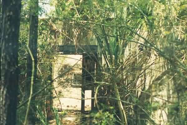
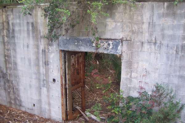
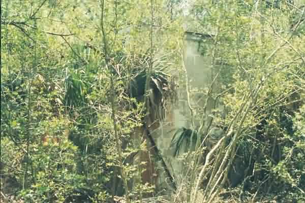
The first view one gets through the underbrush of the "front" of the GFA building. Inside the door, one sees that the roof has collapsed. [looking west-northwest]
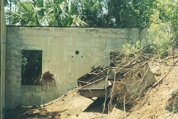
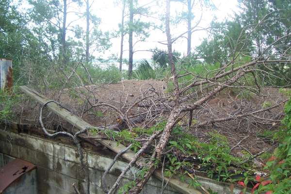
A view inside the building, looking toward where the radar tower used to stand. To the right is the caved-in roof. [looking southwest]
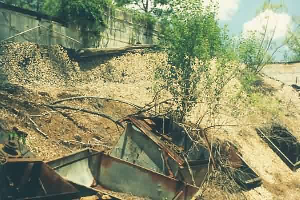
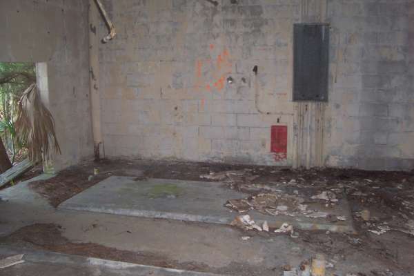
Another view inside the building, looking toward the diesel-generator end (note the firewall). In the foreground is the caved-in roof. [looking northeast]
The diesel-generator wing of the facility from outside. [looking south]
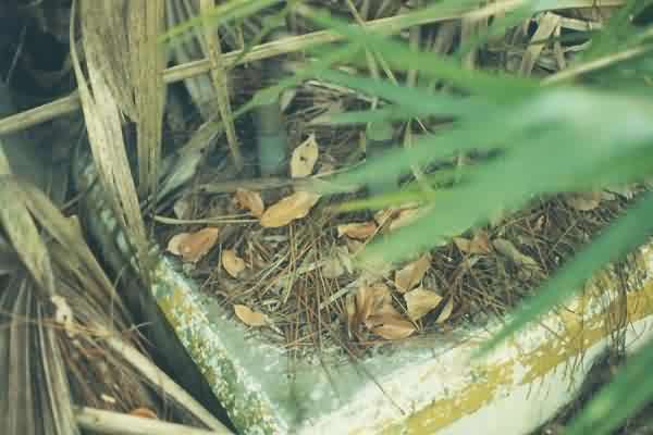
One of the three radar-tower foundations, now largely hidden by the dense underbrush.