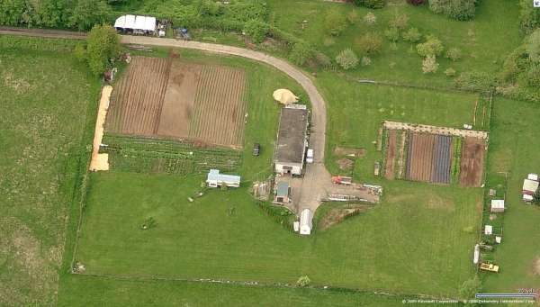
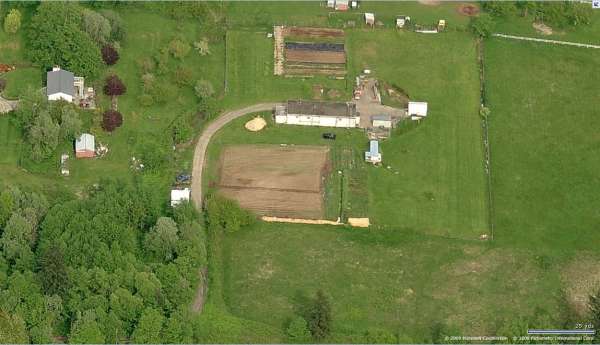
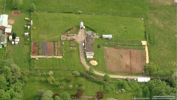
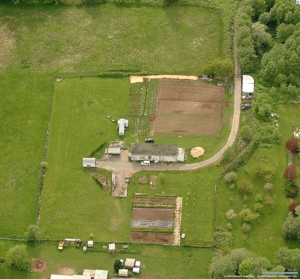
Blaine AFS, WA Recent Photos
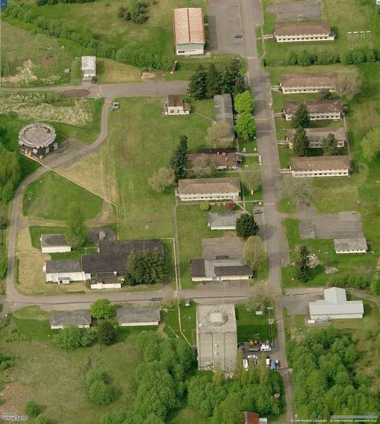
Radar Site, Looking North
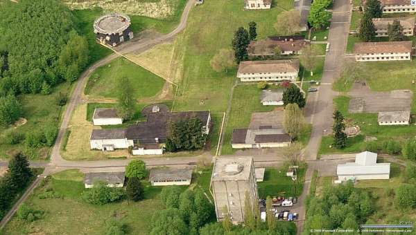
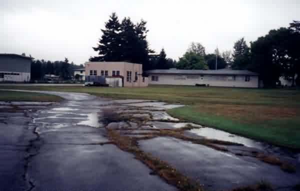
Radar & Ops, Looking North
Radar & Ops, Looking East
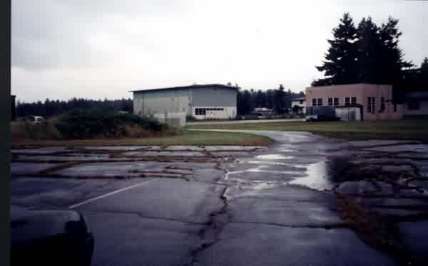
Radar & Ops, Looking South
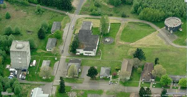
Radar & Ops, Looking West
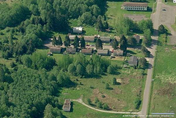
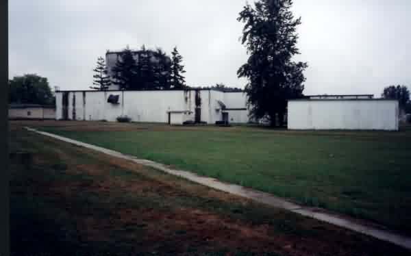
Barracks & FPS-26, Looking East
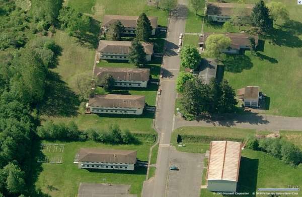
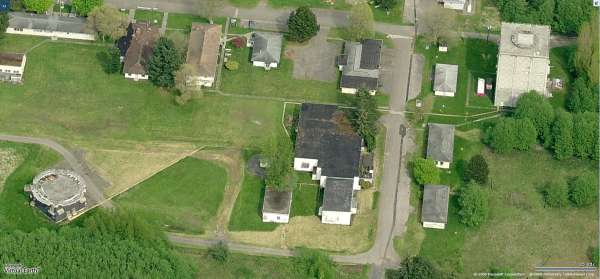
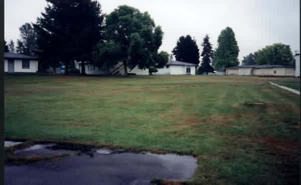
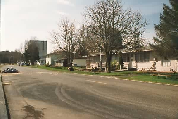
Barracks, Looking South
Barracks, Looking West
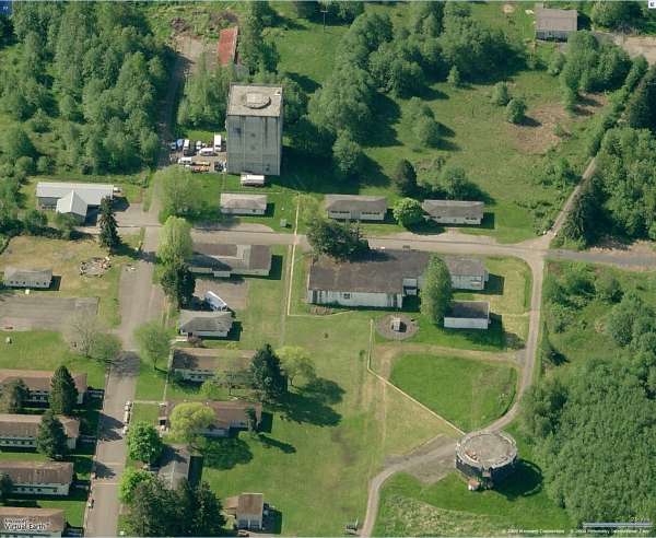
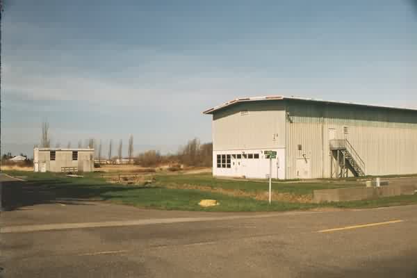
GATR, Looking North
GATR, Looking East
GATR, Looking South
GATR, Looking West
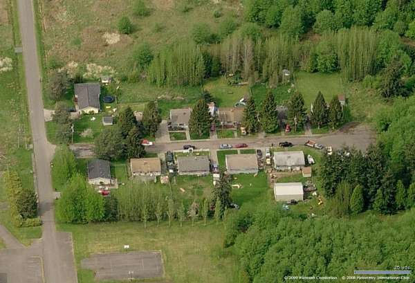
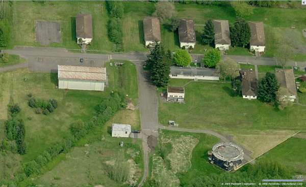
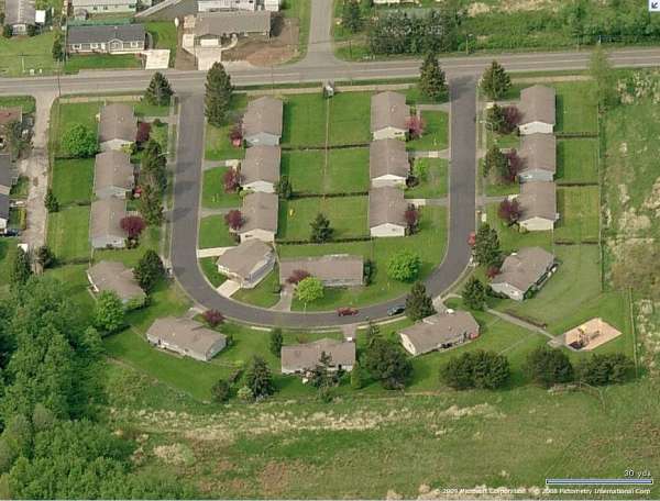
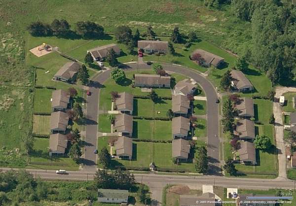
Housing #1, Looking North
Housing #1, Looking East
Housing #1, Looking South
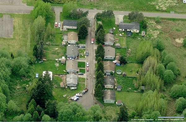
Housing #1, Looking West
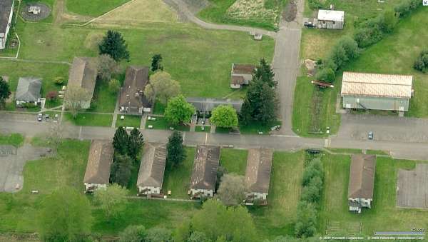
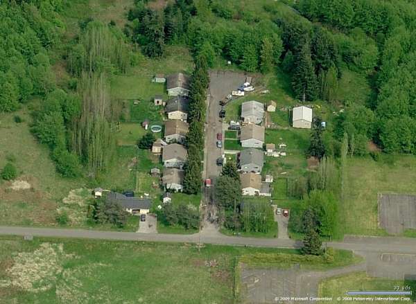
Housing #2, Looking North
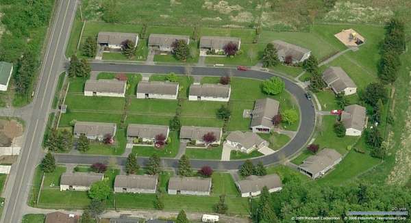
Housing #2, Looking East
Housing #2, Looking South
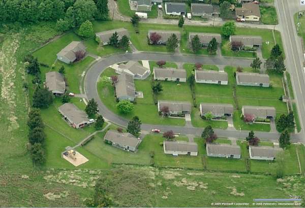
Housing #2, Looking West
September 2009 photos contributed by Jay Perelman
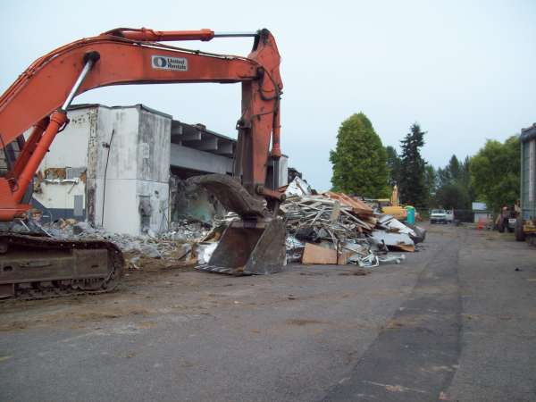
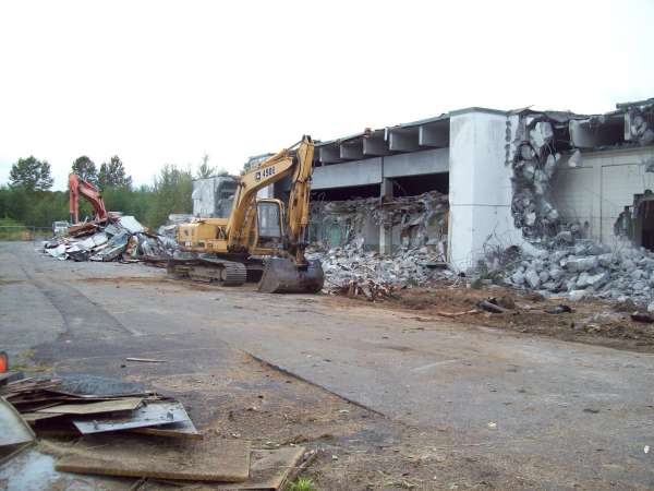
Going, going ...
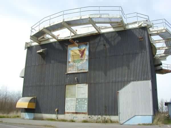
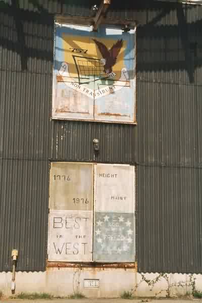
AN/FPS-26 tower being demolished
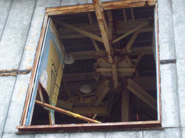
Doors on the 26 tower first floor
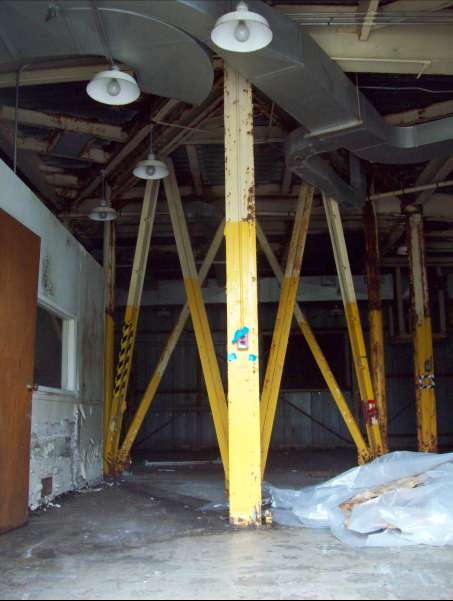
First floor of the 26 tower
26 tower second floor door & crane
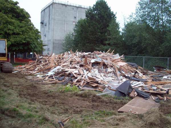
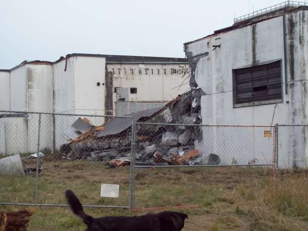
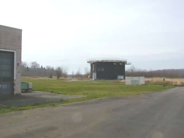
Remains of the warehouse, Bldg 750
Destruction supervisor?
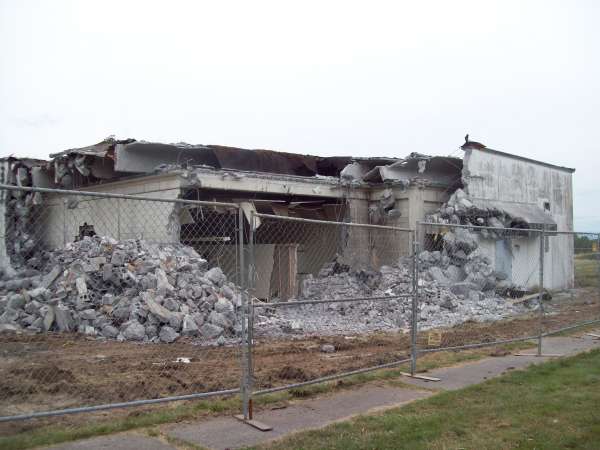
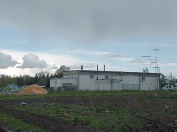
Ops bldg from SW
Ops bldg from SE
Ops bldg from SE, inner wall visible
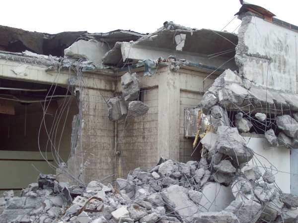
Ops bldg from SE, inner wall visible
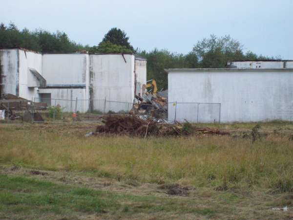
Ops bldg from N
Ops bldg NW corner
2007 photos contributed by Jay Perelman
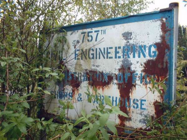
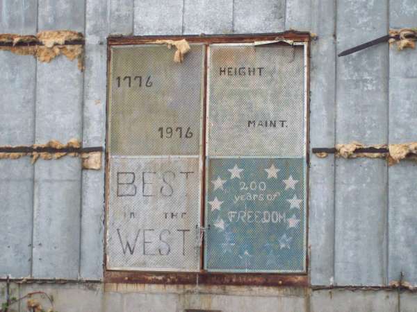
Building 976 sign
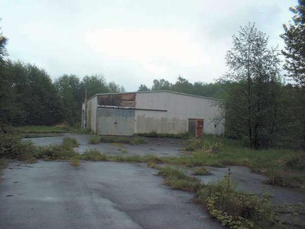
Building 976
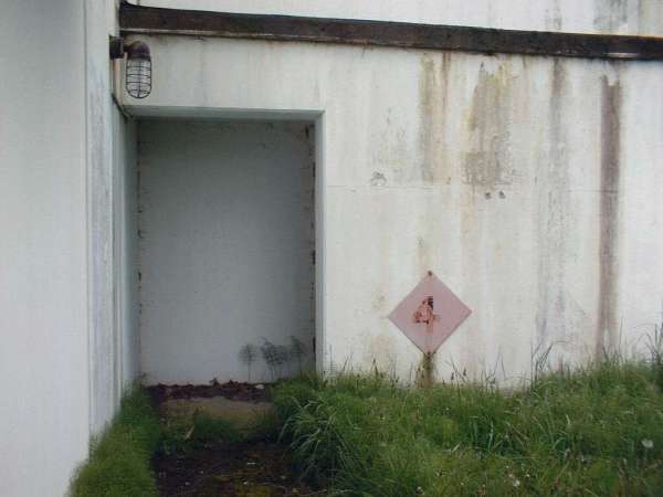
LRR Ops Building entry door
2007 GATR Site photos contributed by Jay Perelman
The old GATR building
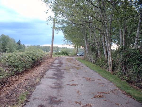
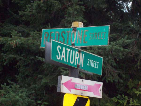
Telstar Rd looking West
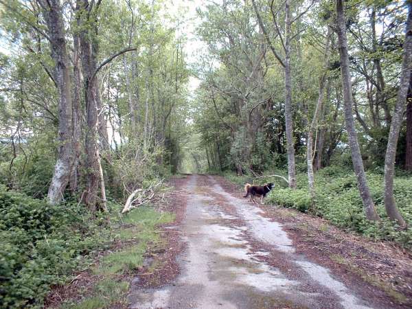
Telstar Rd looking North
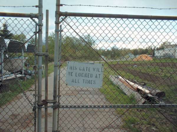
Telstar Rd gate
"Telstar Road," was the access road from the main road up to the GATR site at Blaine AFS.
August 2001 photos contributed by Len Dawkin
July 2001 photos & notes contributed by Tom Page
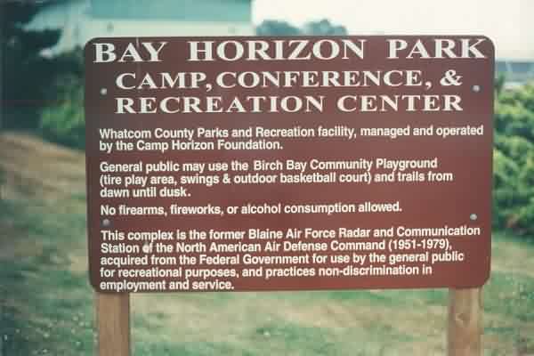
Sign near the entrance to this former radar station. [looking S]
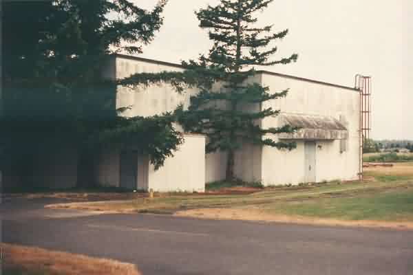
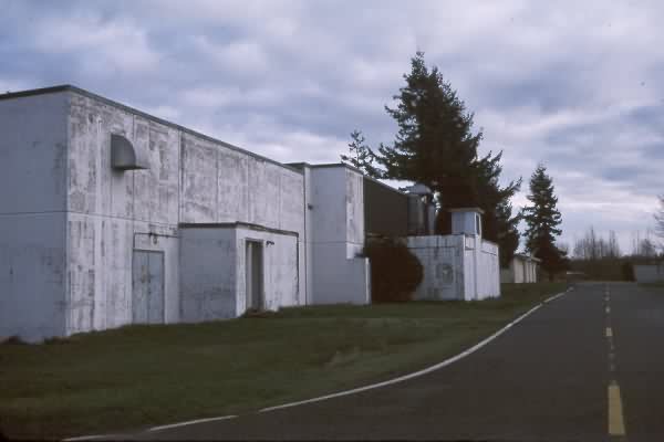
Old LRR Operations / BUIC-II building. [looking NW]
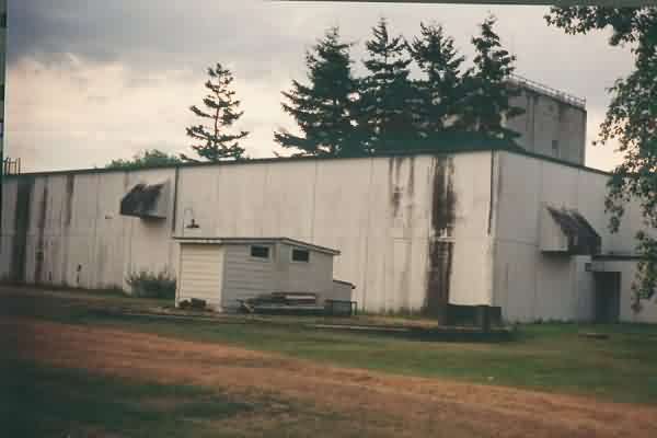
Another view of the old LRR Operations / BUIC-II building, with foundations of an early radar tower seen in the foreground, and the SAGE-era AN/FPS-24 search-radar tower seen in the distance. [looking SE]
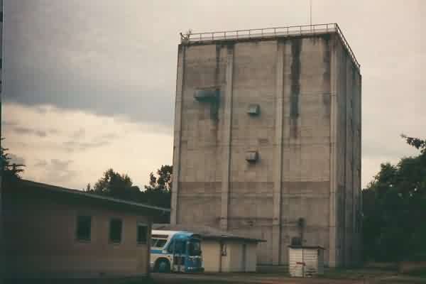
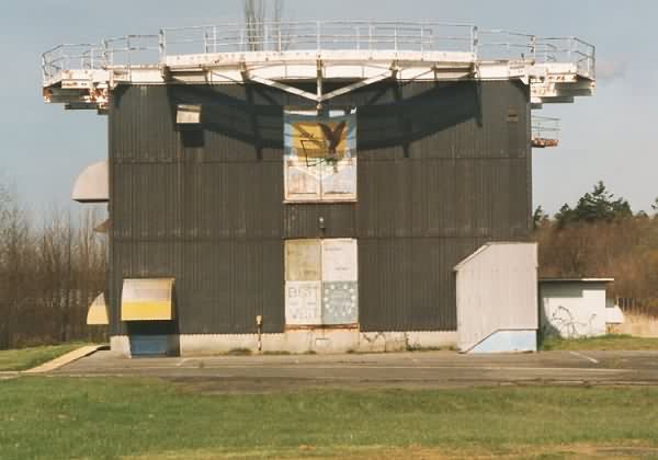
The AN/FPS-24 search-radar tower. [looking S]

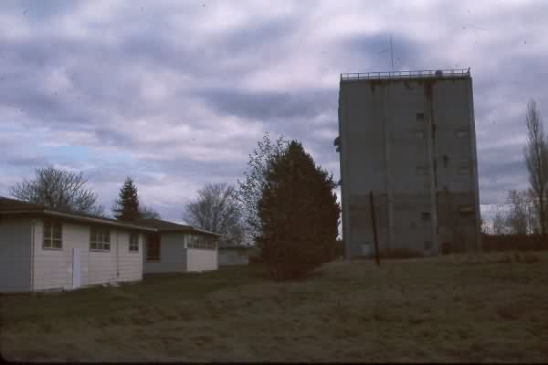
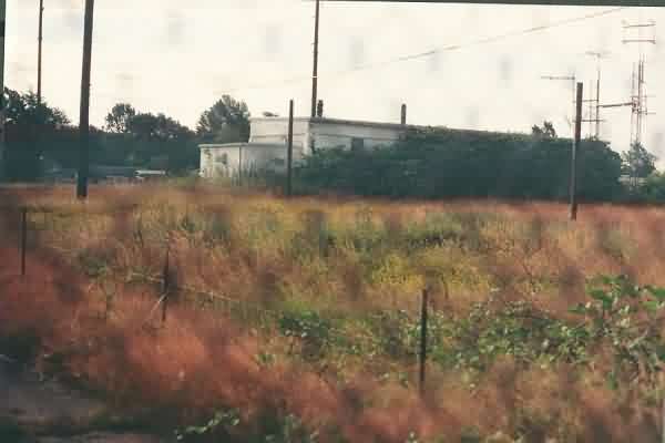
AN/FPS-26 heightfinder-radar tower, with the larger family-housing area seen in the far distance to the right (off the main road). [looking NNW]
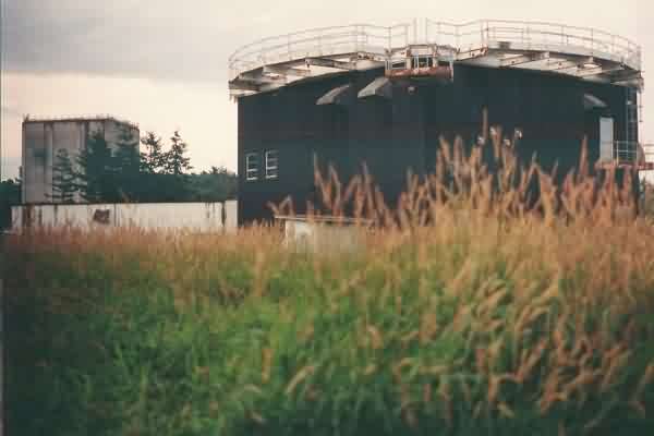
Another view of the AN/FPS-26 heightfinder-radar tower, with the old LRR Operations / BUIC-II building and the AN/FPS-24 search-radar tower seen in the distance to the left. [looking SE]
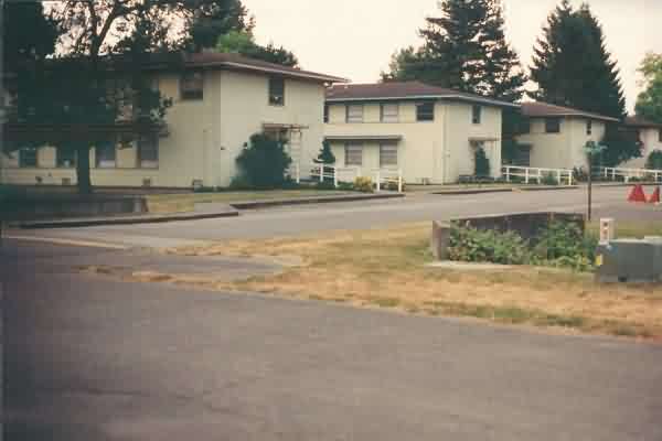
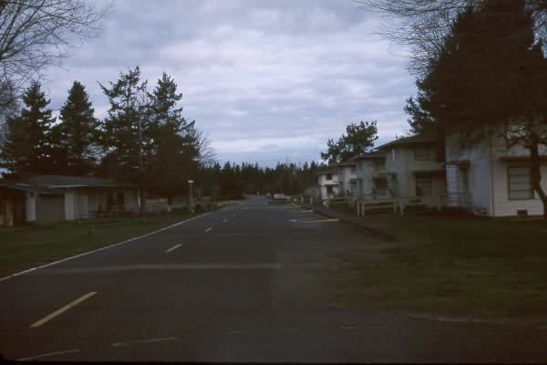
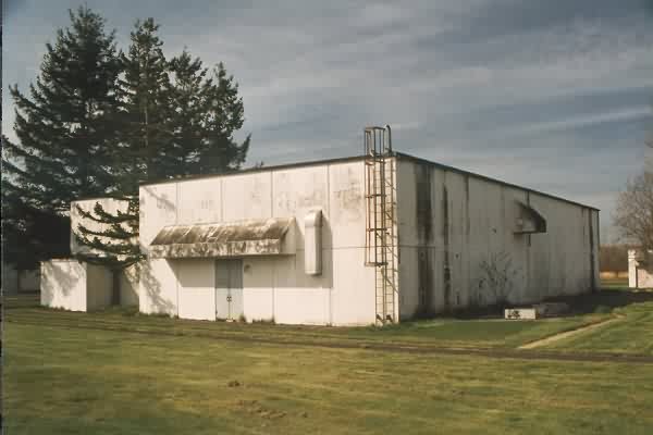
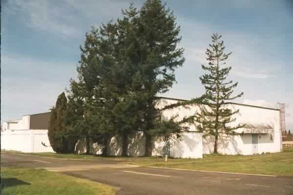
The barracks of Blaine AFS. [looking SE]
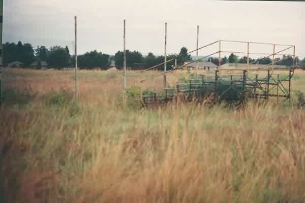
The old ball field, with the larger family-housing area seen in the distance to the right (off the main road). [looking WNW]
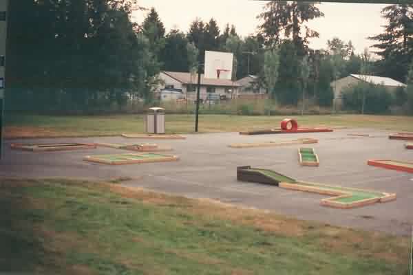
Former basketball court, now sharing duty as a putt-putt golf course. The smaller family-housing area seen in the
distance (off the site access road). [looking NE]
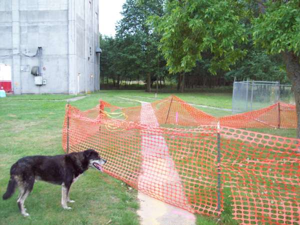
GATR site, as viewed from the access road / gate. [looking SE]
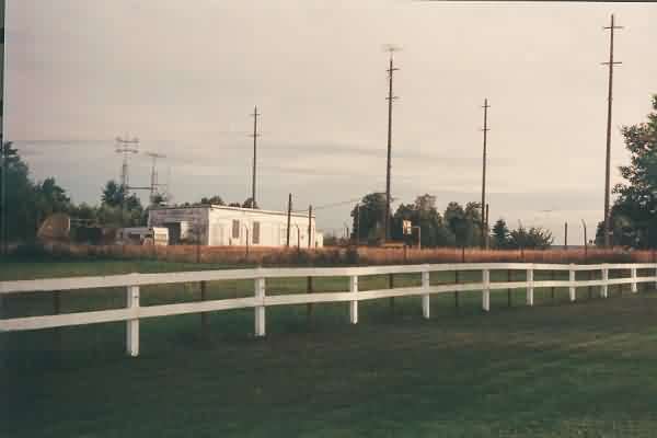
GATR site, as viewed from the road behind the site. [looking NNW]
June 2000 photos contributed by Joseph R Marsh
These photos were part of a US Army Corps of Engineers DERP-FUDS project, therefore are public domain.
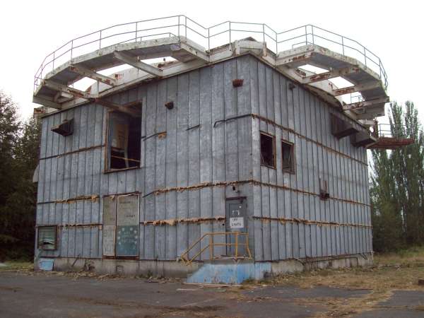
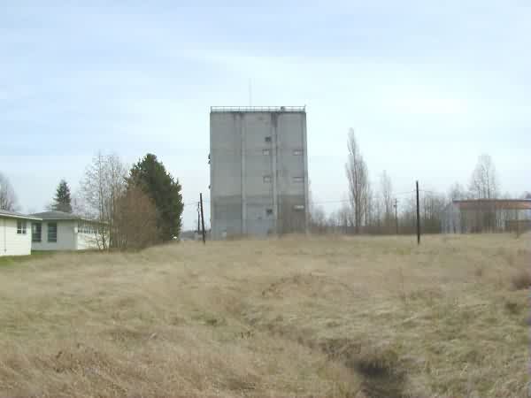
AN/FPS-26 tower
Motorpool with -26 tower in background
Flagpole
AN/FPS-24 tower
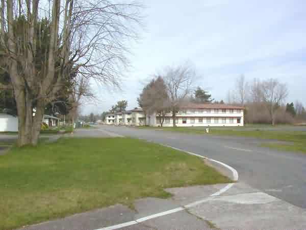
Barracks area
Apr. 1999 photos contributed by Bruce Herrick
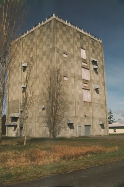
AN/FPS-24 Tower
AN/FPS-26 Tower
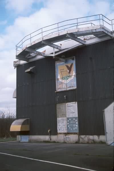
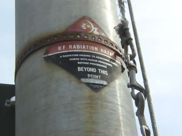
-26 Tower, close up
November 1998 photos contributed by Mark Morgan