Recent Photos of Bethany Beach GFA, DE
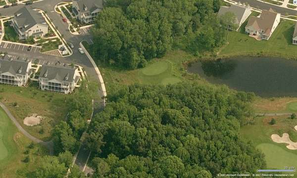
Looking North
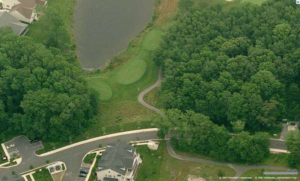
Looking East
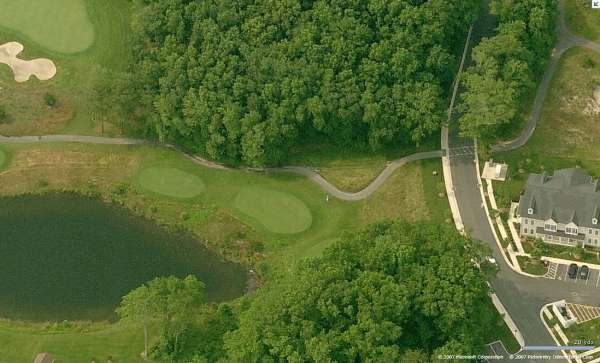
Looking South
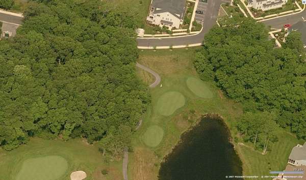
Looking West


The old Bethany Beach gap-filler radar building prior to demolition (copied from the historical marker which mis-identifies the gap-filler radar building as being part of the World War II Air-Warning Service (AWS) Site #11 that was operated by the U.S. Army). The Air Force gap-filler annex (P-56B) was built on the same grounds as AWS #11, but well after World War II (in late 1956 or early 1957, and became operational by September 1957).
-----------------------------------------------------------------------------------------------------------------------------------------------------------------------
2002 photos contributed by Larry D. Whitten
Larry writes: There isn`t much left of the site, as the area is under heavy development. An 18 hole golf course and prestige homes now occupy the area.
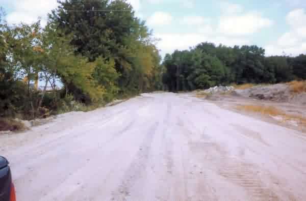
This is the access road to the site. It has been widened and the brush and trees that used to line it have been removed, especially on the right hand side. If you look on the left side of the road, you can see some of the houses that have been built in the field adjacent to the site property. This used to be a narrow lane at the edge of a field. The lane had been surfaced with tar and chip, but as you can see, that is gone too.

A couple hundred yards back on the road is a pile of cement rubble. I imagine the remains of Z56B lie in that pile somewhere. It contains slabs of concrete and broken cinder blocks, which is what the radar building was constructed of. Such is the nature of progress, what was once critical and essential, now lies broken and unneeded. Nothing more than a pile of rubble. This is the fate of Z56B.
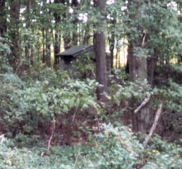
Another one hundred yards, and you`re at about the site where you would enter the site. The only remains that you can see from the road is a small, nearly hidden by the brush, cinder block building which was the POL area for the site. It sat in the far right hand corner of the site. As you entered the site, you could see it sitting at the end of the driveway. I didn`t walk into the wood to get a good look at it, due to snakes, ticks, poison ivy and other deterrents. When cold weather gets here, this winter, I`ll make another visit, try to get closer and see what is left, if anything.
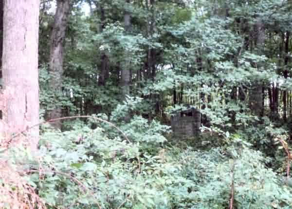
This photo concentrates on the POL shack itself. I cropped out the trees and tried to focus on the building. As you can see, it is in a pretty rough place.