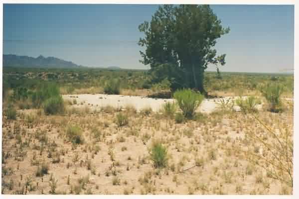
All that’s left of the radar-equipment building is the building’s concrete pad. The diesel-generator wing was to the right (south), and the radar tower stood to the left (east). [looking southeast]
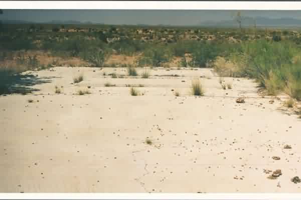
The radar site is located about 200’ or so south of I-10, about 6 miles east of Benson. Except for the building’s concrete pad and the three radar-tower foundations, the facility is no longer extant. The site is situated on a slight rise near the middle of a wide valley (not on a hill or mountain peak); clearly, its mission was to look down the valley where the long-range radar stations, such as nearby Mount Lemmon AFS, could not ‘see.’
All that’s left of the radar-equipment building is the building’s concrete pad. The diesel-generator wing was to the right (south), and the radar tower stood to the left (east). [looking southeast]
This view is looking south toward the diesel-generator wing. Supports are seen for two (2) generators.
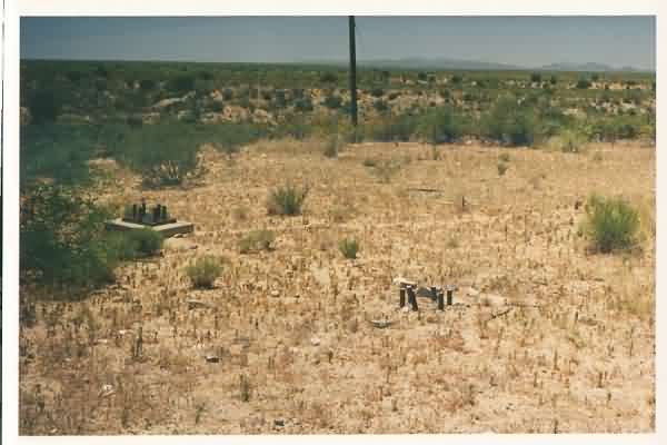
This view shows the three foundations for the radar tower. [looking southeast]
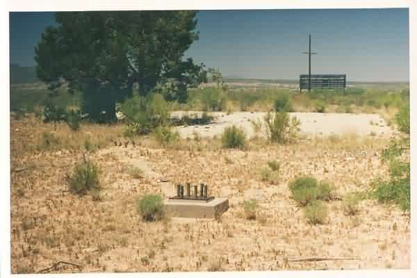
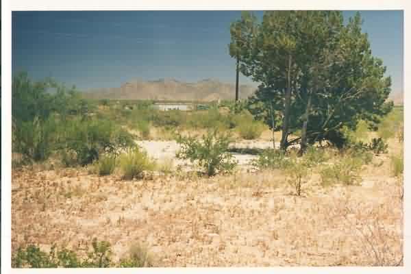
Another view of what remains of the Benson gap-filler radar annex, looking west.
This view is looking northeast, and shows the relative distance to I-10 (note the passing truck).