Recent Photos of Battle Mountain FAA Site, NV
source: http://www.panoramio.com/photo/34864360
(C) Copyright - All Rights Reserved - Displayed here for historical / non-commercial purposes only.
.
source: http://www.panoramio.com/photo/34864360
(C) Copyright - All Rights Reserved - Displayed here for historical / non-commercial purposes only.
.
source: http://www.w7lko.com/Sites/
.
----------------------------------------------------------------------------------------------------------------------------------------------------------------------------
.
The following five photos were contibuted by the 84 RADES (after the damage had been repaired and the radar was back online). The winter of 2022 / 2023 produced heavy snow and strong winds that put the radar site at Battle Mountain, NV (atop Mt. Lewis) out of commission for a while.
.

.

.

.

.

.
Oct 2002 photos & notes by Tom Page
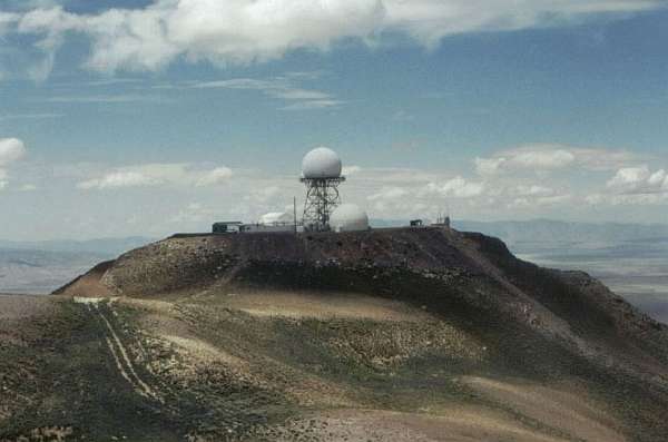
The Battle Mountain (NV) FAA Long-Range Radar Facility is a former SAGE data-tie site, Z-214, used by the USAF in the 1960`s. This ARSR-2 radar facility is located high atop Mount Lewis. The access road with its many switchbacks offers a breath-taking drive with spectacular views on clear days.
To get to the site, one drives south from the town of Battle Mountain on State Road 305. Just south of Interstate highway I-80, turn left (east) onto Tomera Ranch Road. That road then curves south; stay on this road for about 14 miles. The Mt. Lewis access road turns to the left at latitude 40-26-40N and longitude 116-58-08W. From there it is roughly 13 miles to the summit. The road is packed gravel, well-maintained.
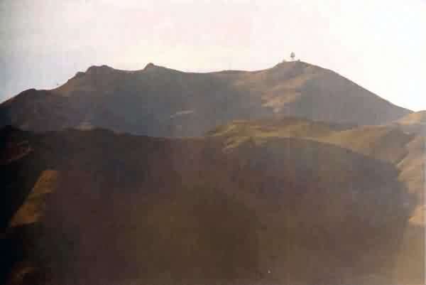
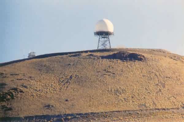
This photo shows Mt. Lewis and the Battle Mountain FAA long-range radar facility on its summit. The photo was shot through a 300-mm telephoto lens from a point along the Tomera Ranch Road just north of the ranch. [looking south-southeast]
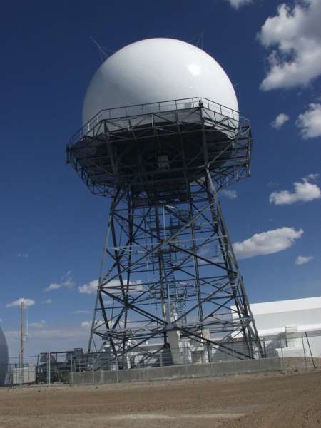
This photo shows the FAA`s ARSR-2 radar tower. The photo was made using a 300-mm telephoto lens from a point along the access road just west of the radar site. [looking east]

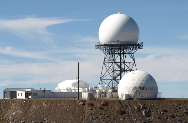
This photo shows a second radome that sits at ground level east of the ARSR-2 tower. The technician on duty thought this dome once housed the "first radar." However, I suspect that other comm antennas might have once been inside, as any buildings at the mountain top would have blocked part of the radar beam if this had been the dome for a radar -- unacceptable to FAA rules. In any event, this dome is now used only for storage. [looking north]
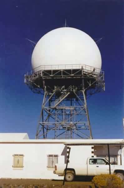
This photo shows the ARSR-2 tower with the FAA maintenance building below. [looking northwest]
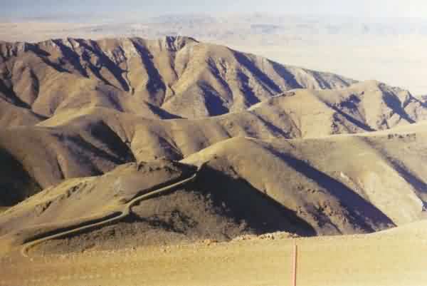
This photo shows parts of the site access road on the west side of Mt. Lewis. [looking southwest]