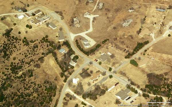
Bartlesville AFS, OK
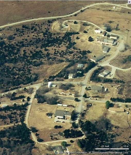
Site - Looking North
Site - Looking North
Site - Looking South
Site - Looking West

Site - Looking West
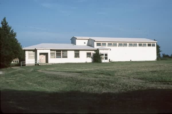
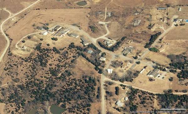
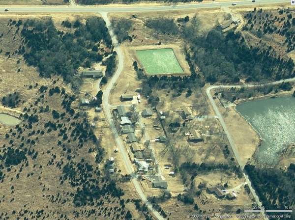
Cantonment area - Looking West
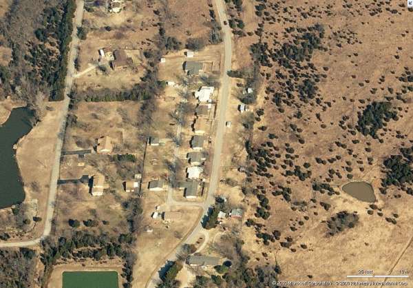
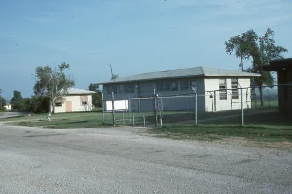
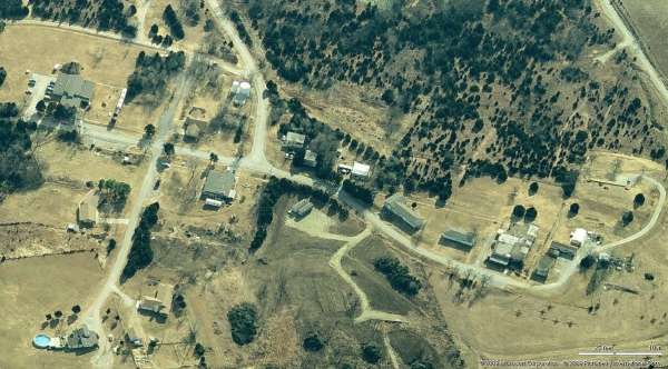
Housing - Looking North
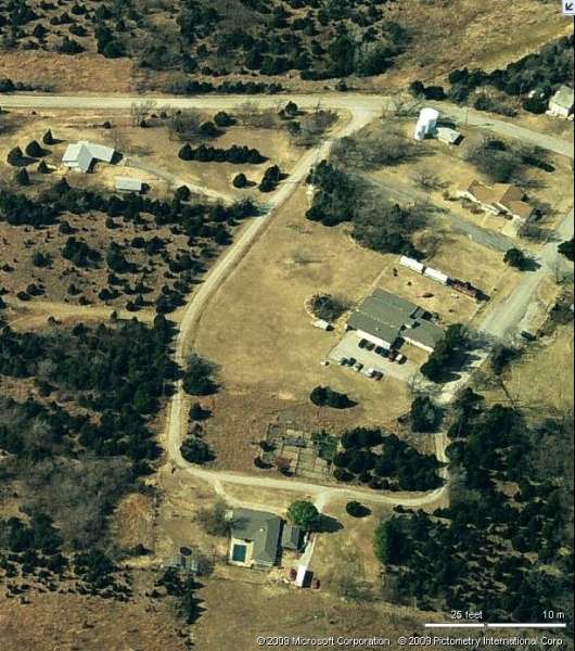
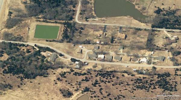
Housing - Looking South
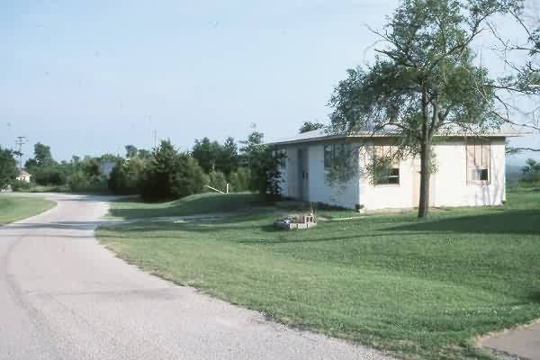
Housing - Looking West
Jan 2009 photos & notes by Tom Page
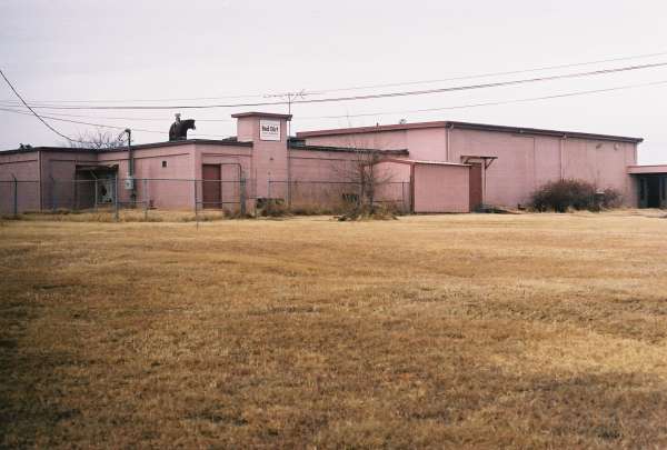
This photo shows the old manual AC&W Radar Operations building, as viewed from the southeast. The large section to the right was the standard add-on for SAGE operations; however, this AF Station deactivated prior to the planned conversion to SAGE. [looking northwest]
This photo shows the old diesel Power Plant that stands immediately west of the Ops building. The search radar tower stood behind (south of) the Power Plant; a house trailer, partly seen to the far left, now sits on the concrete foundation for the search radar tower. (Incidentally, no foundations remain for the height-finder radar tower; reportedly, it was the temperate style, and stood south and east of the Ops building.) [looking southwest]
The following 2000 photos contributed by Scott Murdock
Scott writes: THURSDAY, 13 Jul 2000
After a twelve-hour night shift, I took another nap and hit the road about 1330. I first headed north, to Bartlesville. West of town, I found the former Bartlesville AFS (1415), 36-45-39, 96-02-10.
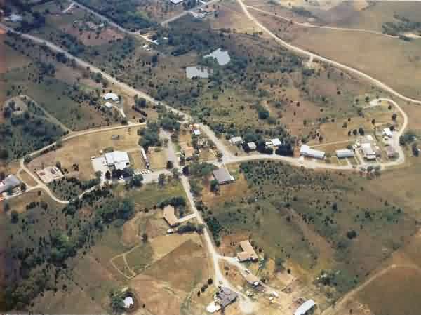
This radar site was operated by the 796th Aircraft Control and Warning Squadron from 1951 to 1961. In 1961, the 88.89 acre site with improvements (plus a .06 acre easement for the water pumping station) was sold by the General Services Administration for $106,000. Now a mix of commercial and residential uses, it has changed enough that its military background was not obvious.
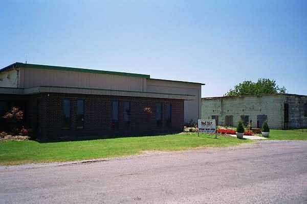
I did go inside the operations building, now home to the Red Dirt Soap Company.
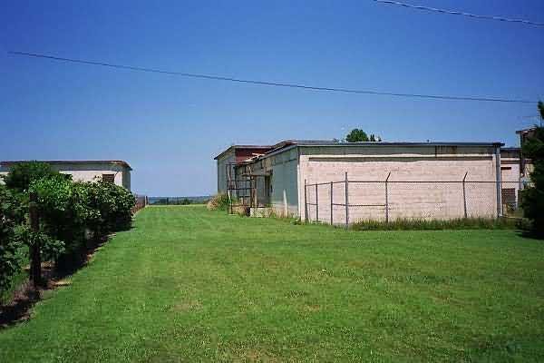
Access to the former search radar was blocked by fence and gate, but I was able to see the tower foundation behind the fence.
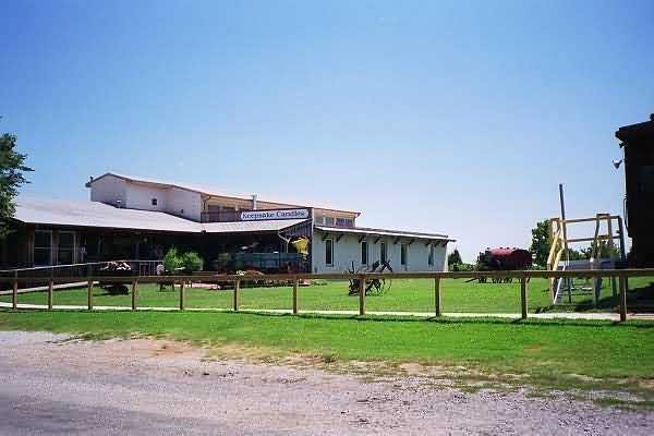
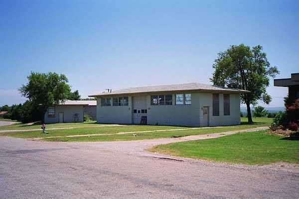
The multipurpose recreation building is occupied by Keepsake Candles.
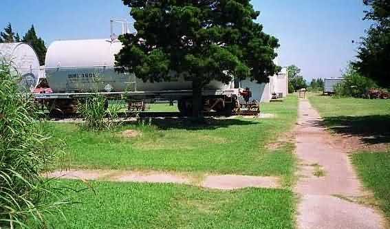
An interesting addition was a railroad caboose and two tanker cars! Parked on a section of track where barracks used to stand (note the sidewalk in the foreground of this shot, it originally led to a dormitory), they had been trucked up the hill several years ago. The caboose was open for visitor viewing, and the tanker cars are used for candle wax storage by Keepsake.
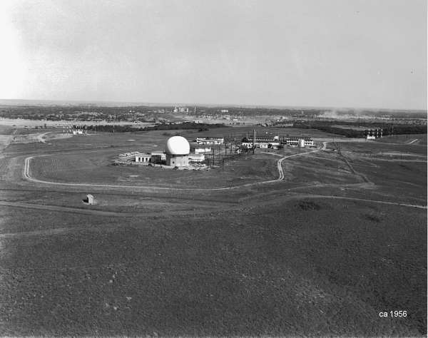
An aerial photo displayed in the caboose shows that the site was quite barren of vegetation when it was operational -- sure has plenty of trees now.
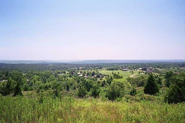
And quite a nice view.
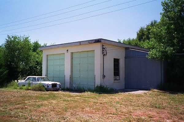
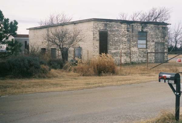
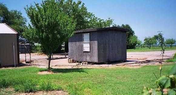
Other buildings still standing are the water pump station, auto maintenance shop, power plant, and this one (possibly the fire station).
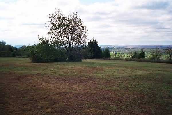
This clump of brush may have been the location of the height finder antenna tower. When you look close, you see that the weeds conceal a pile of broken up reinforced concrete.
The following 1990 photos contributed by Mark Morgan