Recent Photos of Almaden AFS, CA
-----------------------------------------------------------------------------------------------------------------------------------------------------------------------
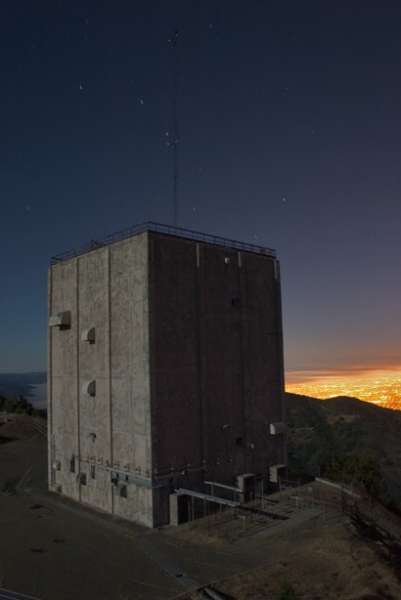
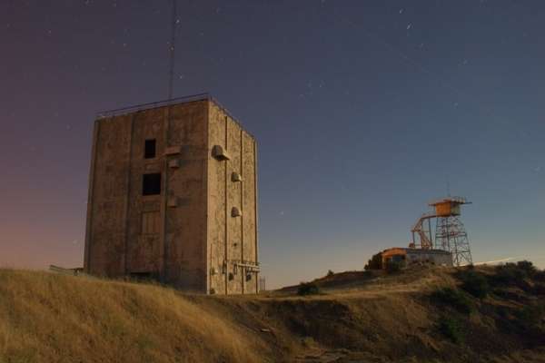
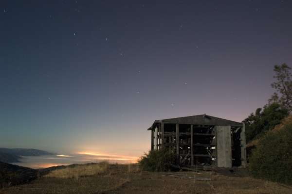
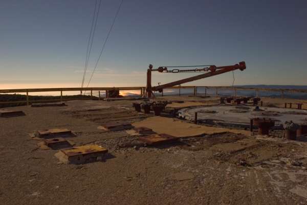
The following six photos were made by Tom Page on 11 April 2025


----------------------------------------------------------------------------------------------------------------------------------------------------------------------
Photo source: https://www.youtube.com/watch?v=a0zC-gMceA0 (October 2015)


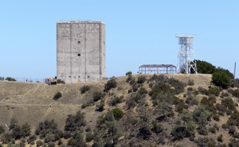
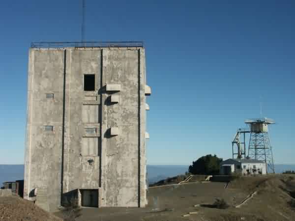
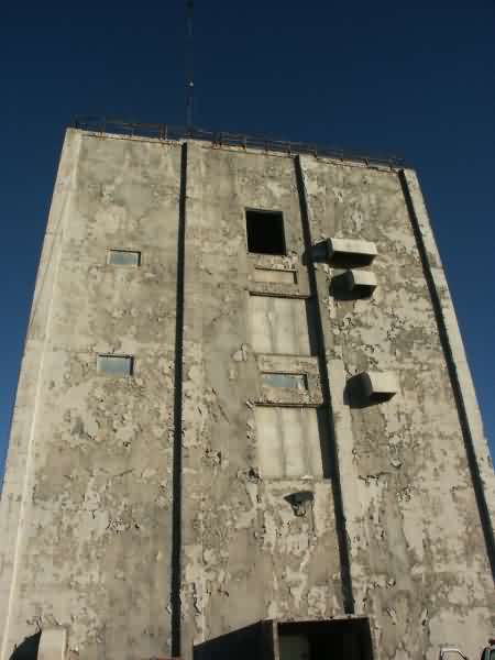
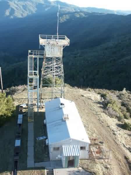
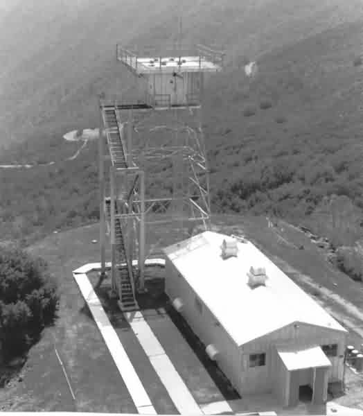
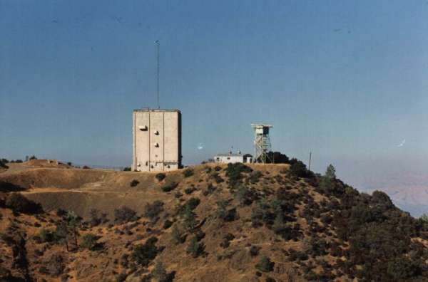
AN/FPS-24 tower (left) and AN/MPS-14 tower (right), 2013 photo by Tom Page
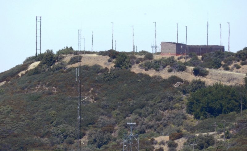
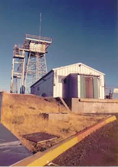
GATR Site - 2013 photo by Tom Page
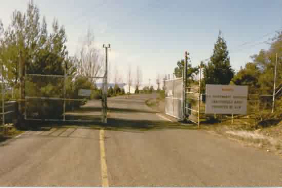
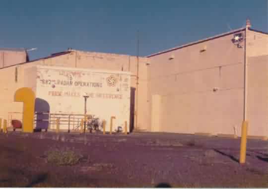
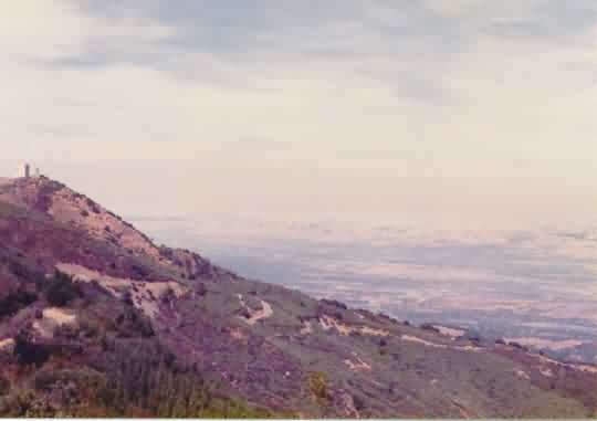
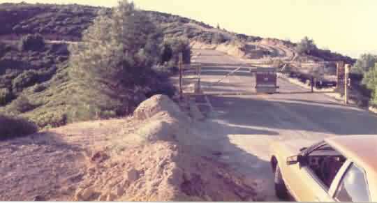
Photos source: http://www.corpsfuds.com/php/siteindex.php?site=J09CA0999&state=California
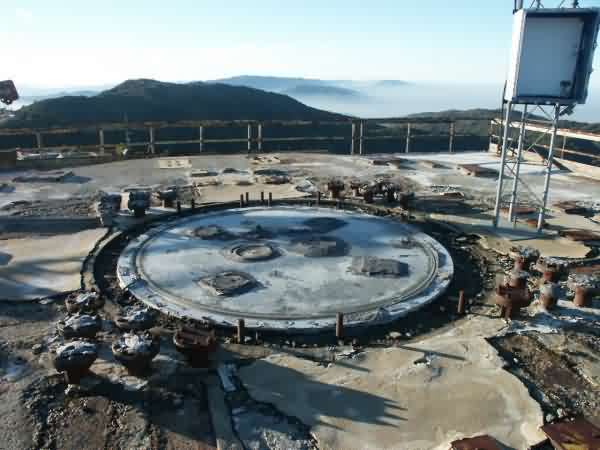
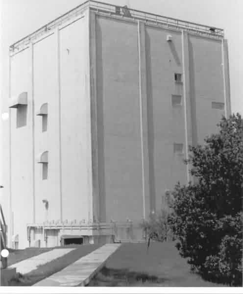
FPS-20 foundation
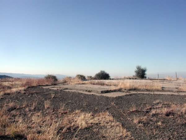
FPS-20 foundation
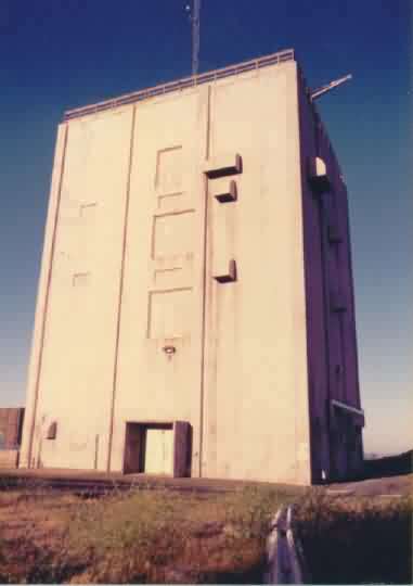
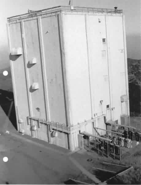
FPS-24 tower, background; MPS-14 tower foreground
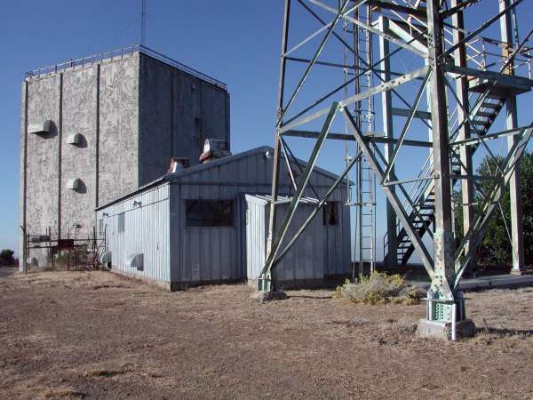
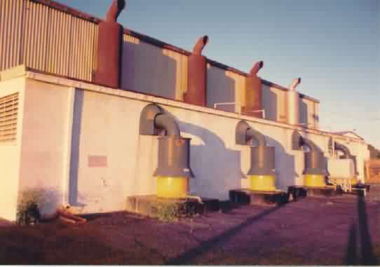
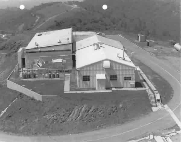
Power plant
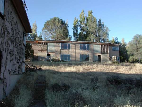
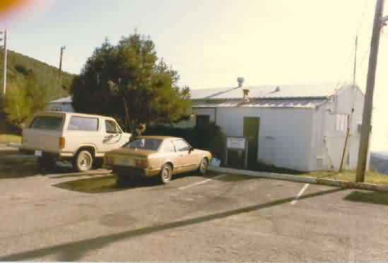
Housing unit

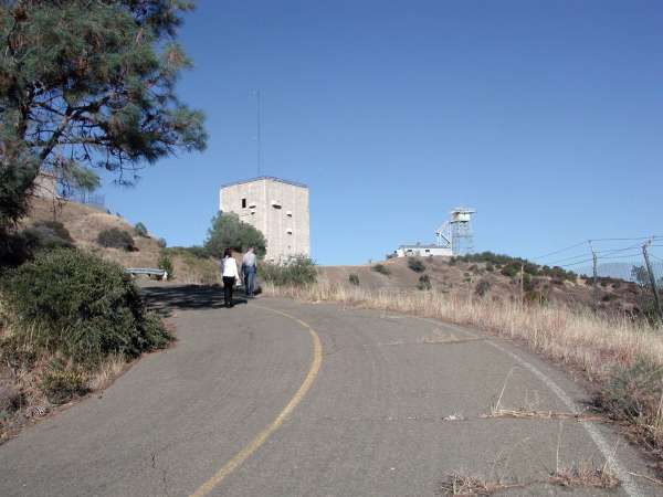
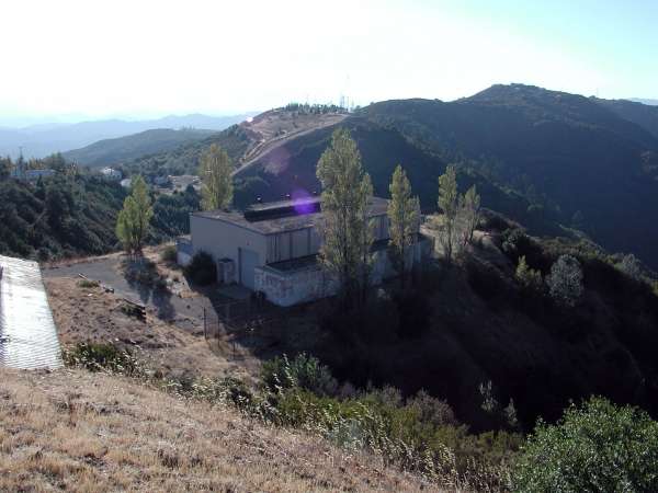
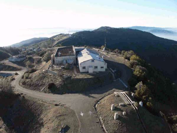
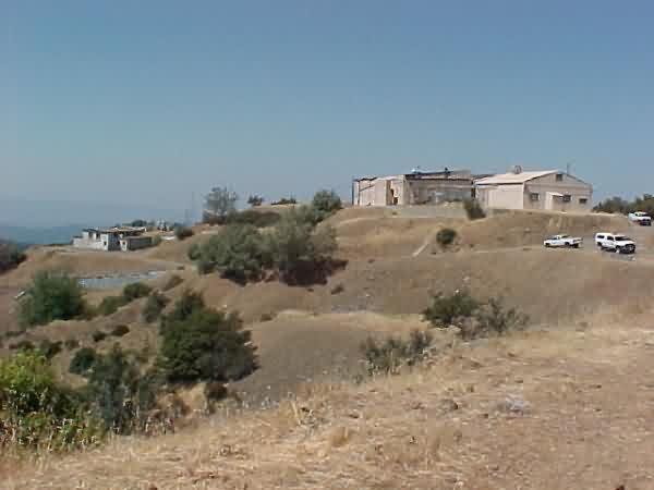
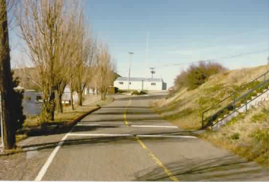
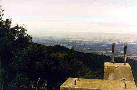
Main site from GATR site

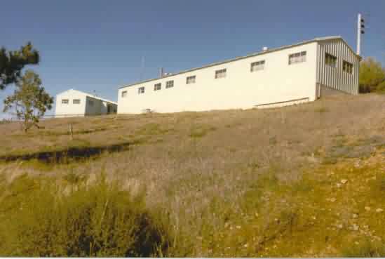
GATR building
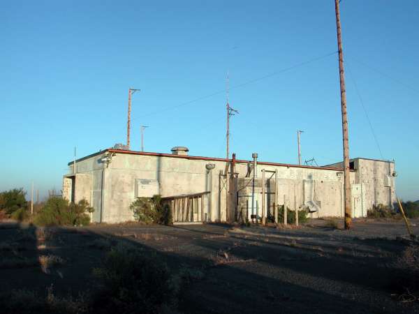
GATR building
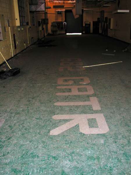
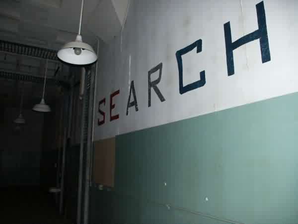
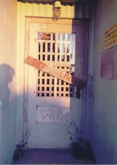
Inside the GATR building
source: http://www.uer.ca/forum_showthread_archive.asp?fid=3&threadid=35967
This photo was made from the top of the AN/FPS-24 radar tower, looking north. The Radar Operations building is in the photo`s center, with the Power Plant off to the left, the foundations of the AN/FPS-90 height-finder radar tower in the foreground, the foundations of the AN/FPS-20 search radar tower just beyond the Ops building, and the foundations of the AN/MPS-14 height-finder radar tower just to the right (that tower was moved to the other side of the AN/FPS-24 tower, and still stands today). The GATR site is on the mountaintop in the distance.
Some fine nighttime photos
Source: http://www.chronicas.com
Photos copyright Jonathan Haeber, 2005
img src="../photos/recent/AlmadenAFSCA_nighttime6.jpg" width="600" height="400">
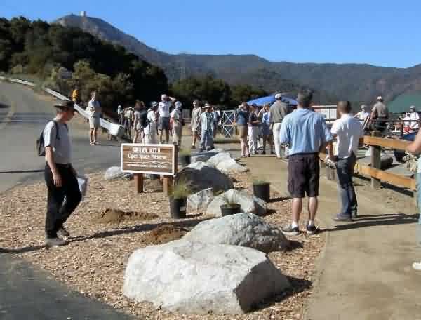
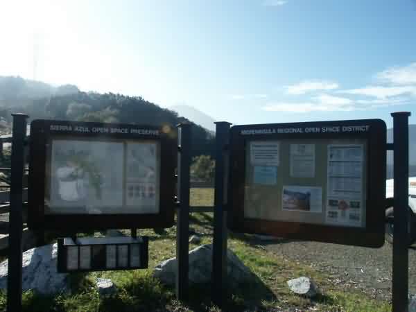
Dedication of the Bay Area Ridge Trail and Jacques Ridge Staging Area in Sierra Azul Open Space Preserve, 10/25/03.
Source: http://www.geocities.com/almadenqs/englishtown.html
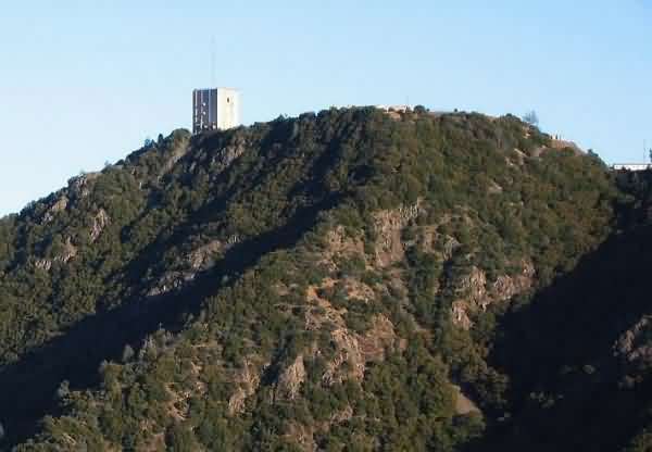
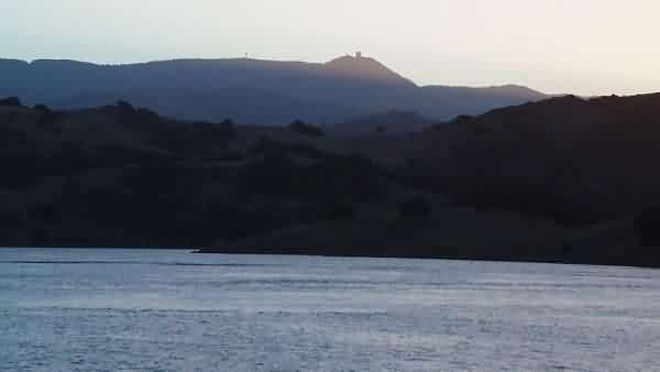
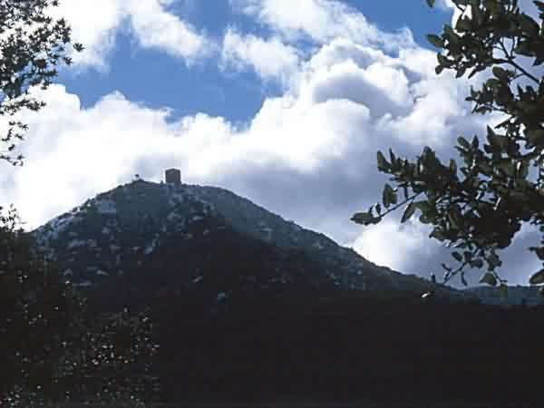
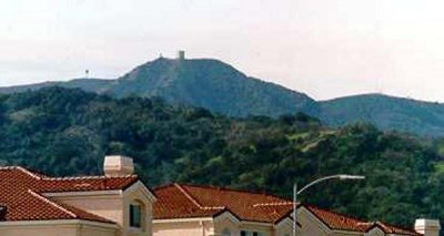
The photographer states, "If you see the Umunhum tower from this angle, might I be so bold as to suggest you are having a pretty good mountain biking day. This shot is on the Woods Trail in Sierra Azul, a little ways down from the peak of El Sambroso. [May 8, 2004]."
Source: http://www.gatetrails.com/wallpapers.html
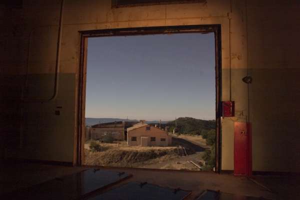
The Operations building can be seen, off to the far left
source: http://www.ocliw.com/~nwang/old/sierra_azul/3.html
Dec 2004 photos contributed by Tim Tyler
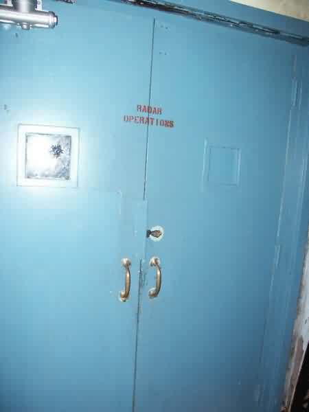
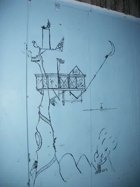
Some artwork inside the FPS-24 Building`s elevator.
Almaden AFS alumni Jerry Hess, standing next to the station`s flagpole with the former Admin Building behind him (Commander`s office was the one on the left, with the big window).
360 degree panoramic photo
Source: http://sapphire.cse.ucsc.edu/SlugVideo/PanFinal-UM.htm
On the far left, the top of the old AN/FPS-24 radar tower and the power plant are seen (through the steel tower in the foreground). To the right is seen the cantonment area. A modern-day weather radar tower with radome is seen on the ridge. Near the far right of the panorama, the GATR site is seen on the next mountain to the north.

From the web site http://www.ci.sj.ca.us/council/dist10/events/umunhumvisit.html
From the web site http://www.webshots.com/search/search.fcgi?words=Umunhum

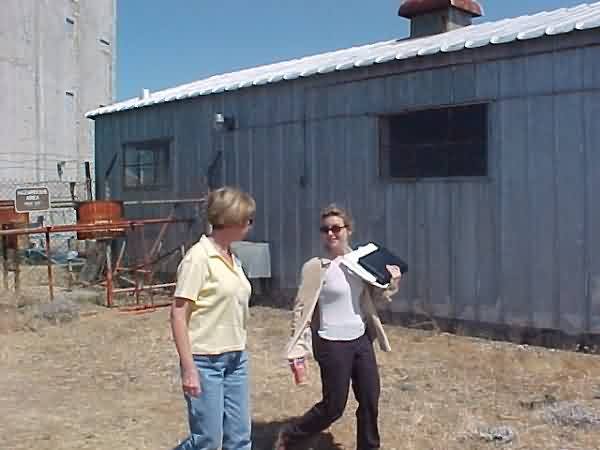
The following photos contributed by Greg Call
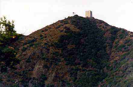
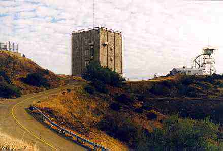
Here are the recent photos (1998) )of the former Almaden AFS (atop Mt. Umunhum). Thanks go to Mr. Tom Randall (ranger) for escorting me to the top, and allowing me to take these pictures. [Except as noted, all photos were taken on Sunday, 8 Nov 98.] Mr. Randall informed me that the earthquake damage shown in pictures #8 and #9 resulted from the 1989 Loma Prieta earthquake. He also informed me that the locals refer to the old AN/FPS-24 tower as "The Monolith." It`s a landmark around there, and can be seen for miles.
 |
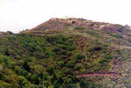
View from local community |
 |
Another view from below |
 |
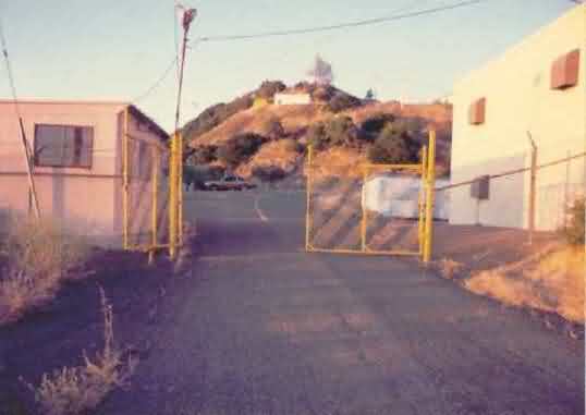
Up the tower access road |
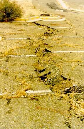 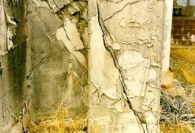 |
Evidence of Earthquake Damage |
 |
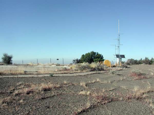
GATR site |
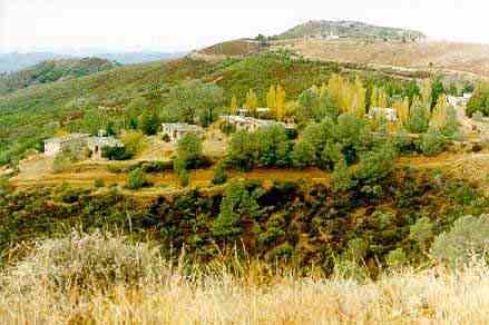 |
Housing area |
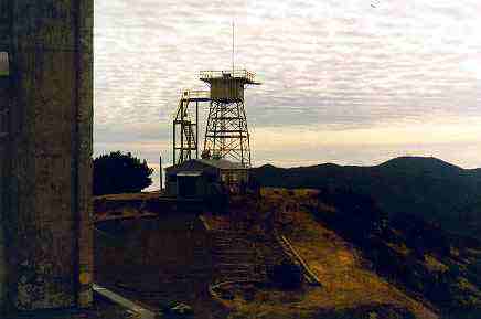 |
MPS-14 tower |
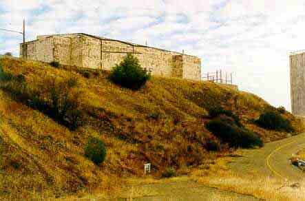 |
Operations building |
 |
View from the mountain as seen from the base of the former AN/FPS-90 height-finder radar tower |
1996 photo source: http://www.ginner.com/index.php?title=Archive+Image&file=232.hires&dir=archives