History of Tonopah AFS, NV
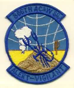
This site became operational in 1957 when the 866th AC&W Squadron activated an AN/MPS-7 radar. In June 1961 the site was moved to another peak. At the new location, the 866th Radar Squadron operated a pair of AN/FPS-6 height-finder and AN/FPS-7C search radars as part of the SAGE system. In 1963 the height-finder radars were converted to AN/FPS-90 sets. One AN/FPS-90 was retired in 1969. The Air Force deactivated the 866th Radar Squadron 30 September 1970.
References: "Searching the Skies"; misc. ADCOM documents; eyewitness accounts.
Hide