History of Sault Ste. Marie AFS, MI
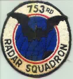
An AN/TPS-1B 'Lashup' radar was operational at this site in 1950, either modified to, or replaced by, to an AN/TPS-1C reportedly in 1951. This radar was later incorporated into the 'Permanent' network. In 1952, the 753rd AC&W Squadron operated AN/FPS-3 and AN/FPS-5 units. During 1956, the Air Force replaced the AN/FPS-5 with an AN/FPS-6 unit. In 1958 the AN/FPS-3 was replaced by an AN/FPS-20 search radar, and soon received a second height-finder radar, an AN/FPS-6B. In 1960 the site provided data to the regional SAGE command center. An AN/FPS-28 FD search radar was planned, but was subsequently cancelled. In 1963, an AN/FPS-35 FD search radar replaced the AN/FPS-20A. The AN/FPS-6 was removed in 1963, and the AN/FPS-6B was modified to an AN/FPS-90. In 1964, an AN/FPS-26A FD height-finder radar was installed. This facility came under TAC jurisdiction in October 1979. The 753rd Radar Squadron (SAGE) was deactivated 1 October 1979.
References: "Searching the Skies"; misc. ADC and ADCOM documents; eyewitness accounts.
Hide