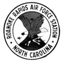
History of Roanoke Rapids AFS, NC
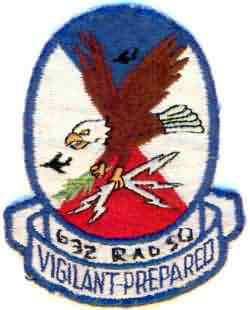
This site became operational in 1956 when the 632nd AC&W Squadron activated AN/MPS-11 and AN/TPS-10D sets. Two years later, the AN/TPS-10D was replaced with a pair of AN/FPS-6, -6A height-finder radars. In 1959 Roanoke Rapids joined the SAGE system. In 1964 an AN/FPS-27 search radar and an AN/FPS-26 height-finder radar were installed and became operational at this site. That same year the AN/MPS-11 and the AN/FPS-6 radars were retired. The AN/FPS-6A height-finder radar was deactivated in the mid 1970s. The 632nd Radar Squadron (SAGE) ceased operations on 1 July 1978.
References: "Searching the Skies"; misc. ADCOM documents; eyewitness accounts.
Hide