History of Baldy Hughes AS, BC, CN
Baldy Hughes (site C-20) was located within the rugged hill and brush country of the Fraser River Valley, 19 miles southwest of the city of Prince George.
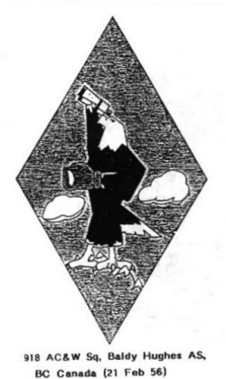
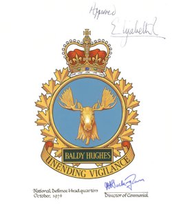
The radar station took its name after a rather colorful character, and early British Columbia pioneer, by the name of Hughes. Hughes, who was often referred to by the name "Baldy", ran a remount station for the stage line that traveled the old Cariboo Wagon Road. This remount station was situated on the property which ended up being the station's domestic site. A nearby mountain, also bearing his name, was the location for the operations site.Construction at the Baldy Hughes location had started during 1952. In 1955, after construction was completed on the USAF's Baldy Hughes Air Station, the 918th AC&W Squadron moved in. They provided early warning radar coverage until February 1963 at which time the station was handed over to the RCAF on 1 March 1963. It became RCAF Station Baldy Hughes and a new unit, 54 Aircraft Control & Warning Squadron, took over in the same role.
In April 1963, a number of personnel took part in a very unique rescue mission called "Operation Haylift". It had been a terrible winter in the region and a herd of horses located near Highland, BC, were starving to death. Over seven tons of hay were loaded by Baldy Hughes personnel and subsequently air-dropped by an RCAF C-130B Hercules operating from Prince George airport.
The squadron was SAGE-capable in July 1963 and 54 AC&W Squadron became 54 Radar Squadron. They reported to the 25th NORAD Region at McChord AFB, Washington. RCAF Station Baldy Hughes became a Canadian Forces Station in 1967 as a result of unification. From 1984, until it closed in April 1988, the station carried out its duties as a Long Range Radar facility of the Canada West ROCC.
--The NBC Group - Don Nicks, John Bradley, Chris Charland.
Hide
