Recent Photos of Jim Falls, WI GFA

...............................................................................................................................................................................................................

September 2018 photos by Tom Page 
JimFallsWI-GFA_Recent_19Sep2018_0.jpg

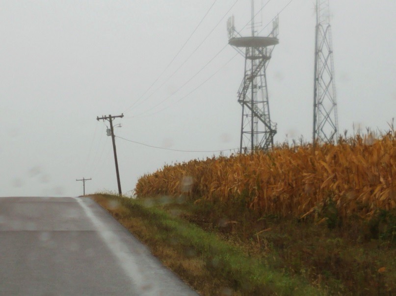
Here is my first view of the former Jim Fall gap-filler radar annex as I approached from the north on rainy day.  [looking south] 

.
JimFallsWI-GFA_Recent_19Sep2018_1.jpg

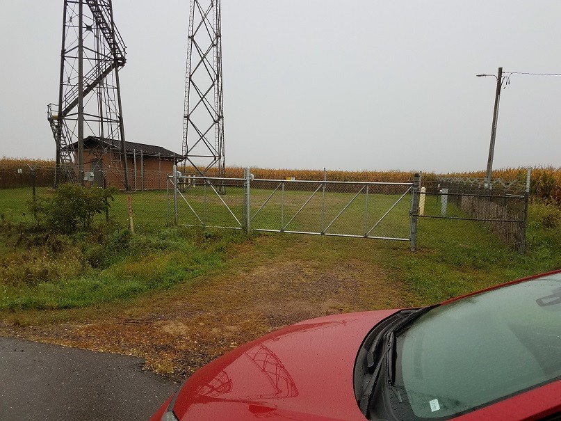
I was surprised to see that the radar building had been removed, but I was glad to see that the radar tower was still standing.  The site sported a new gate, and had been cleaned up nicely.  [looking west] 

.
JimFallsWI-GFA_Recent_19Sep2018_2.jpg

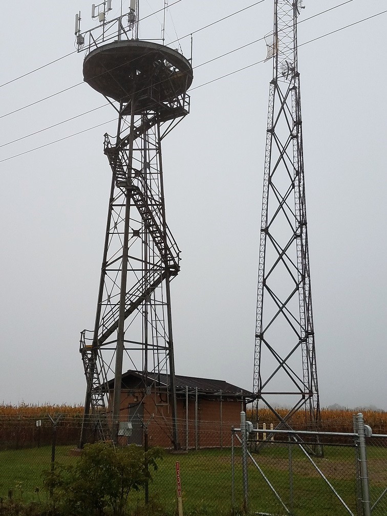
The old gap-filler radar tower was being beneficially used, supporting what looked to be cell-phone antennas.  [looking west-southwest] 

.
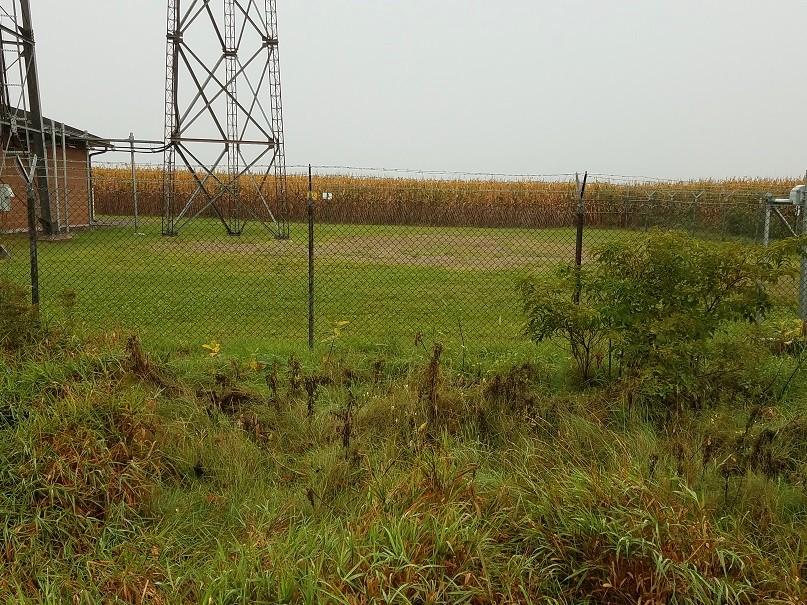
JimFallsWI-GFA_Recent_19Sep2018_3.jpg

Another view of where the radar building had stood  [looking west-northwest] 

.
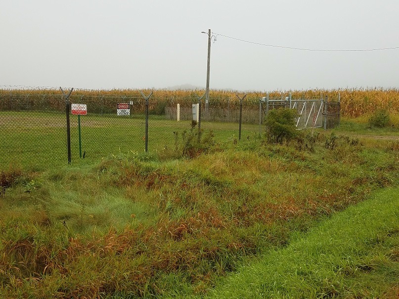
JimFallsWI-GFA_Recent_19Sep2018_4.jpg

Another view of the north end of the site and the new gate  [looking northwest] 

.
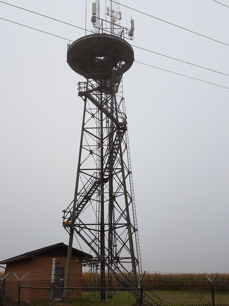
JimFallsWI-GFA_Recent_19Sep2018_5.jpg

One final view of the radar tower  [looking west-northwest] 

.

............................................................................................................................................................................................................... 

 .

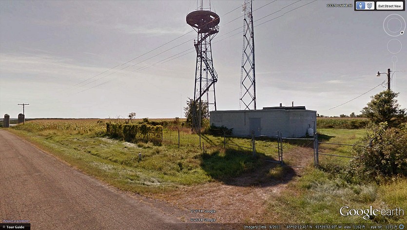
JimFallsWI-GFA_Google-Street-View_1-.jpg
.
courtesy of "Google Street View" 
.
............................................................................................................................................................................................................... 
June 2004
photos contributed by Doug Sylfest

Doug writes:
These are pix I took of the Jim Falls Gap Filler on 06/24/2004.

The site is used for communications equip for Chippewa county.

Real easy to find as you can see the radar tower between the trees from a long ways away. Knew it was what I was looking for a long time before I got there. The site is about 7 miles as the electron travels, Northeast of Chippewa Falls, WI. Going North from Chippewa Falls on highway 124. The "Tower" is visable several times from hwy 124 between the trees. I Got directons from the Chippewa County Sheriff`s dept and was able to drive right to the site. As a matter of fact, Chippewa County personnel, refer to it as "the radar site".

The Farmer was just pulling out of the field with a tractor and and equipment with a chemical tank on it when I got there. Not knowing what the chemicals might have been, did not go out into the field.

Chippewa county personnel call it "the radar site" most do not know why. There was a person at the Sheriff`s office that knew why. Had a nice chat with them.