Recent Photos of Francis Peak, UT (FAA Site)
....................................................................................................................................................................................................

source: https://www.youtube.com/watch?v=YA4MZkPh5CY


Source: drone-based video at https://vimeo.com/98076037
...................................................................................................................................................................................................
The following photos were made by Tom Page on 10 June 2018:

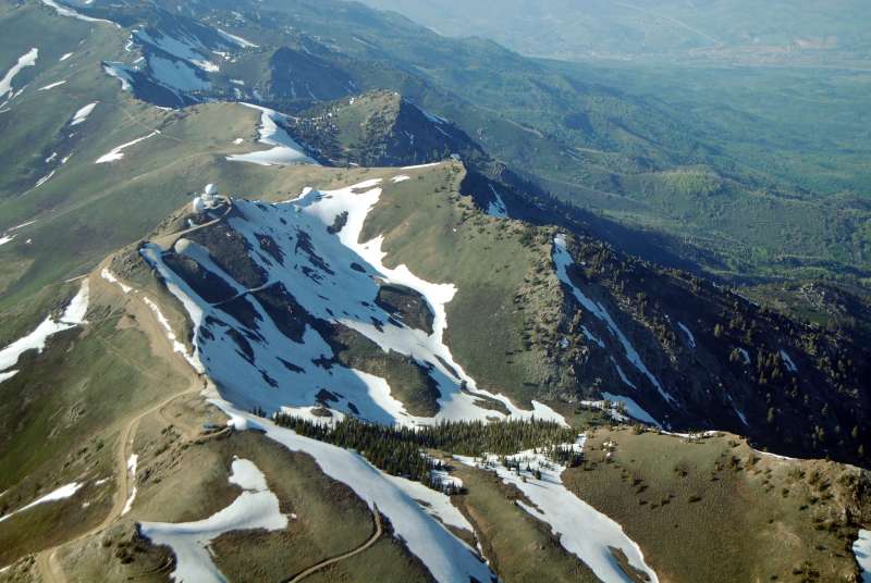
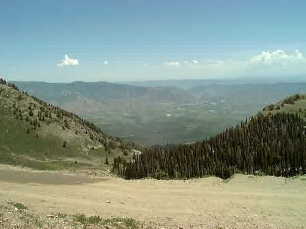
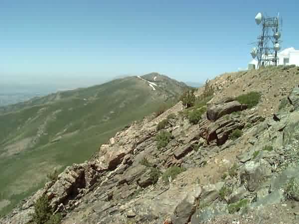
The drive up to Francis Peak is via a paved road for about a fifth of the way, and then a hard-packed gravel road the rest of the way. The road initially goes through a narrow but scenic canyon before reaching rolling meadows near the summit. Many spectacular views are seen along the way. Caution is recommended as there are steep drop-offs and no guard rails. This first view shows the Great Salt Lake valley in the distance, and the access road down below in the canyon. (looking west)
.

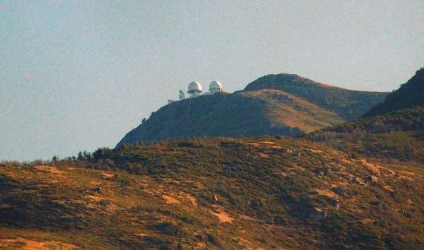
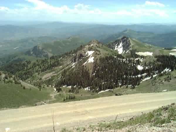
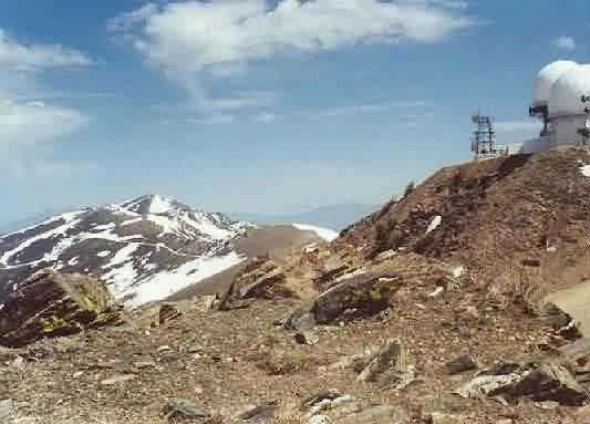
This photo shows the rolling meadows along the ridge top, still with patches of snow, and the radar site in the distance. (looking roughly north-northwest)
.

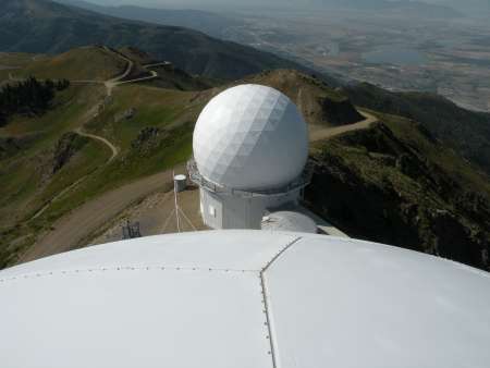
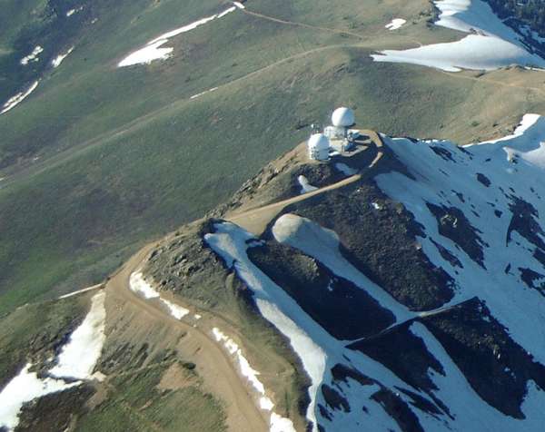
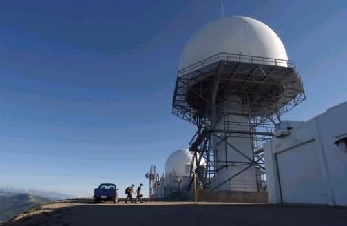
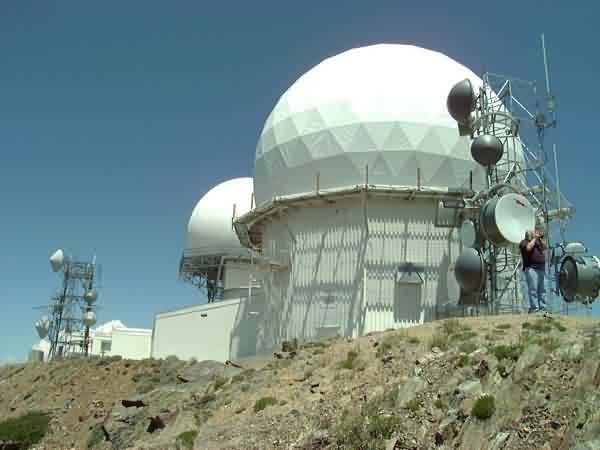
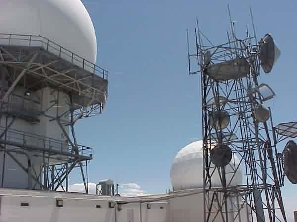
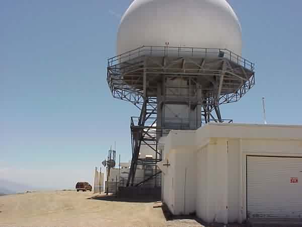
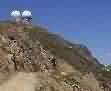
A closer view of the radar site from the parking area where the road ends for the public (looking roughly due north)
.

A locked gate across the road at the parking area prevents unauthorized vehicular traffic from going up any further, but pedestrians are able to walk up to the site. The sign ahead warns that this is a restricted area with access by permit only. I stopped before reaching the site. (looking northeast)
.

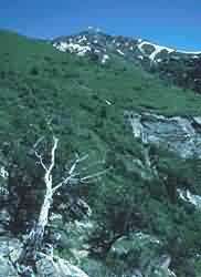
This final view shows some of the great scenery. (looking south-southeast)
.
Contributed by Doug Klauck
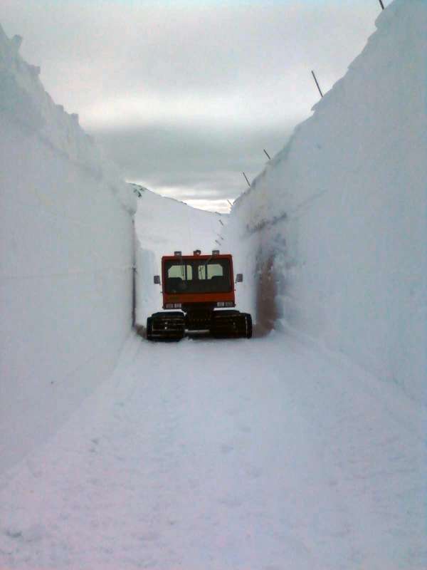
Winter 2011 - think it will snow?
source: http://www.flickr.com/photos/8712554@N02/4062006579/
(C) All rights reserved -- displayed here for historical, non-commercial purposes only.
Source: http://www.redbubble.com/search/francis%20peak
(C) Copyright -- All Rights Reserved. Displayed here for historical, non-commercial purposes only.
source: http://flickr.com/photos/29374594@N00/2590829446/
source: http://flickr.com/photos/29374594@N00/2590829446/
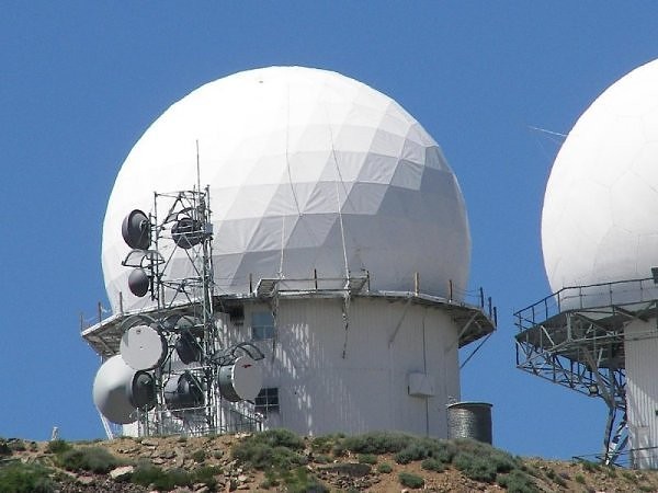
Photo source: community.webshots.com/user/spiegel336
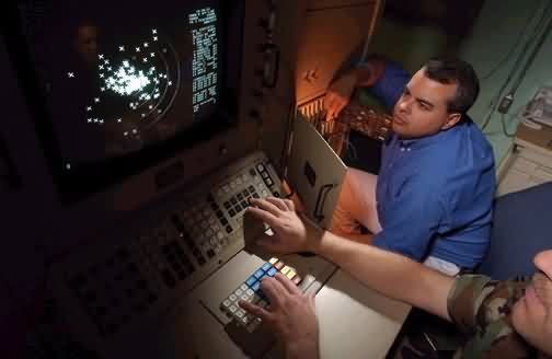
Source: http://www.af.mil/news/airman/0104/minfac.html
From "The Enemy Within", in a recent "Airman" magazine, about the 84th Radar Evaluation Squadron out of Hill AFB, UT. The focus is post 9-11 radars.
Source: http://www.af.mil/news/airman/indxflas.html
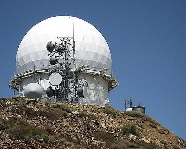
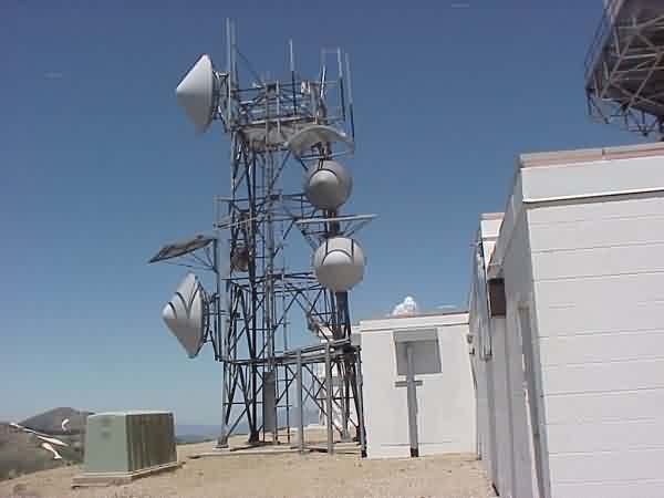
June, 2002 photos contributed by Rick Walker
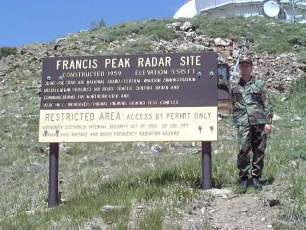
Found at http://www.micksmtn.20m.com/francis.html
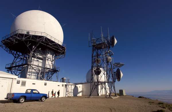
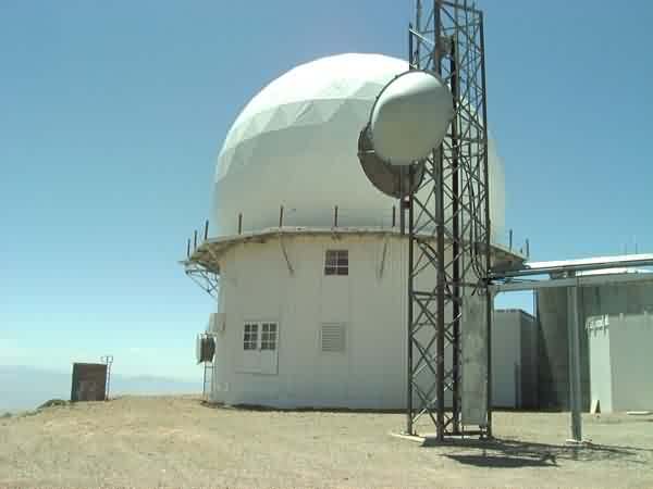
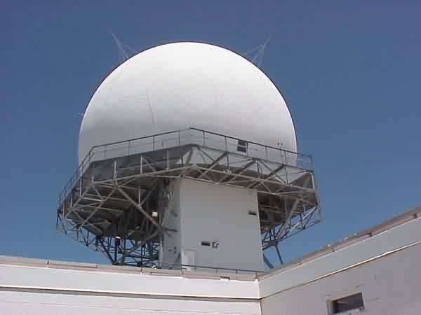
The shorter tower houses comm equipment, the taller tower the ARSR-1/2 radar.
Found at http://utah.sierraclub.org/ogden/adopt/francis.html
From http://www.utahatvtrails.com/ATVFarmington.htm
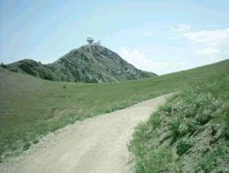
Photo Source: http://www.utahmountainbiking.com/trails/smithlakes.htm