MITRE Radar Test Sites
South Truro, Cape Cod, MA; Jug Handle Hill, West Bath, ME; Montauk LI, NY
[Click link above for map ~98KB]
Photos and notes by Tom Page
Email: tepage@hotmail.com
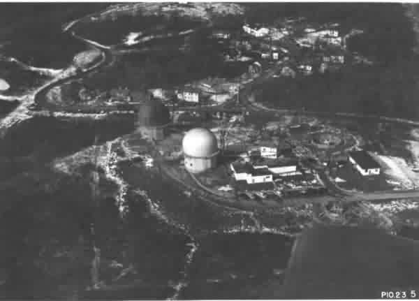
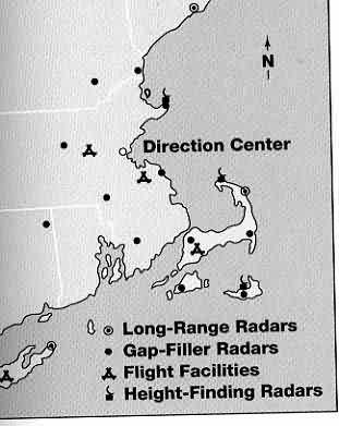
| As promised, here are a photo and a map of the MITRE Radar Test Site at South Truro, on Cape Cod, and a scope photo from its search radar (used in National Geographic Magazine erroneously showing thousands of "common terns cluttering the radar scope" at Texas Tower #2). | |
| The photo was one of the pictures I copied when I was at North Truro AFS (only four or five miles north of the MITRE test site). The MITRE test site had been closed down for many years when I was at North Truro (1979 - 1982). However, someone told me just where it had been, so my buddy and I went down there and explored the site. The foundations of the two radar towers were still extant, as was the foundations of the proto-GATR site. The site location is highlighted in yellow on the enclosed map. | 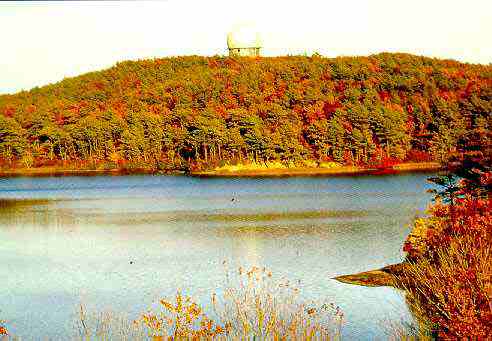 |
| Earlier, when I first got my orders to transfer to North Truro AFS, I wanted to find out about the area. I came across an old article (1962, I think) in National Geographic Magazine about Cape Cod, which also gave mention of Texas Tower #2 which was about 100 miles off the coast at the time. | |
| The article included that nice color picture of TT-2 that I sent you earlier, and also showed a radar scope that supposedly was at TT-2 and showed thousands of "common terns cluttering the radar scope." Having just spent three years at Fort Fisher AFS, NC, a coastal site, I had seen sea clutter frequently which clearly outlined the coast. When I saw this National Geographic radar-scope photo (before I arrived at North Truro), I thought it looked like sea clutter, and suspected that the radar site might have been North Truro AFS, not TT-2 (if you rotate the picture 90 degrees, the scope display looks just like Cape Cod). Only after I had been at North Truro awhile did I realize the center of the radar scope appeared to be south of the North Truro site. This didn`t make sense at the time. Later, when I found out about the MITRE test site and located it, I realized that the scope photo had to have been for the radar site at South Truro. | 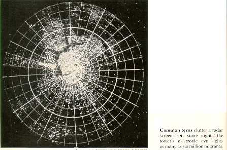 |
| Closer inspection of the photo revealed that it was credited to the "MITRE Corporation"! Further close inspection revealed the numeral "270" on the display, at the top. Rotating the picture so that "270" was on the left then showed a perfect outline of Cape Cod! Thus, I am absolutely convinced that the photograph in National Geographic Magazine was a scope display from the South Truro radar, not TT-2, showing sea clutter, not sea birds. | 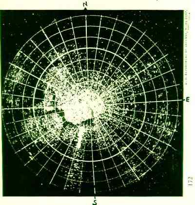 |
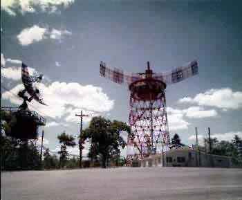
| AN/FPS-31 Experimental Long Range Search Radar and FPS-6 Height Finder Radar - Bath, Maine. 1959. [Photo courtesy MITRE Corporation] Click for article on FPS-31 implementation. |
 |
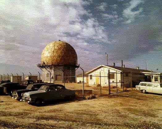
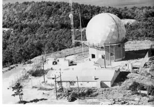
| Search Radar Installation in ESS (Experimental SAGE Sector) - South Truro, Cape Cod, Massachusetts. AN/FPS-20 Search Radar. It was used to track aircraft and transmit data over phone lines to the Whirlwind computer. 1959
[Photos courtesy MITRE Corporation] |
|
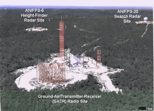
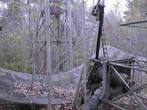
Early photo of the South Truro GATR site
The MITRE Experimental Sites
The MITRE Gap-Filler at Foxboro